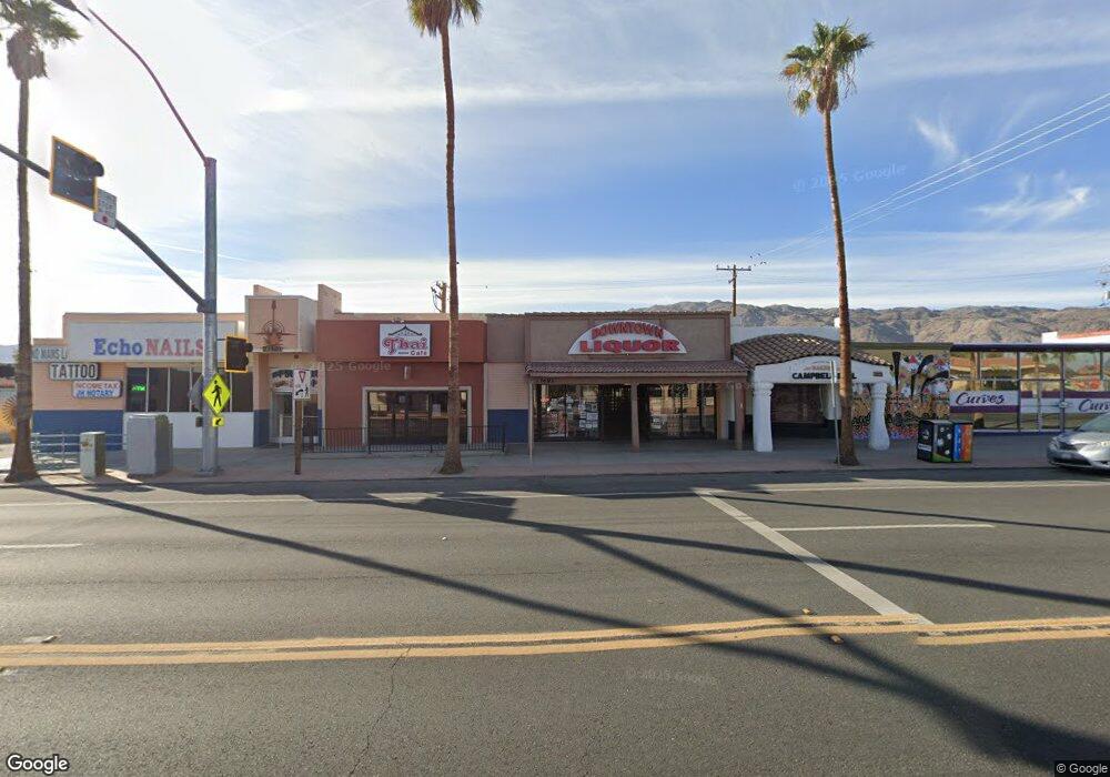
73493 29 Palms Hwy Twentynine Palms, CA 92277
Estimated Value: $307,477
--
Bed
--
Bath
2,100
Sq Ft
$146/Sq Ft
Est. Value
About This Home
This home is located at 73493 29 Palms Hwy, Twentynine Palms, CA 92277 and is currently estimated at $307,477, approximately $146 per square foot. 73493 29 Palms Hwy is a home located in San Bernardino County with nearby schools including Palm Vista Elementary School, Twentynine Palms Junior High School, and Twentynine Palms High School.
Ownership History
Date
Name
Owned For
Owner Type
Purchase Details
Closed on
Jun 30, 2021
Sold by
Croft George Robert and Croft So Duk
Bought by
Askar Elias and Sif Eiad F
Current Estimated Value
Purchase Details
Closed on
Sep 9, 2020
Sold by
Moore Rocky L and Moore Ginger L
Bought by
Croft George Robert and Croft So Duk
Purchase Details
Closed on
Jan 14, 2002
Sold by
Croft George R
Bought by
Croft George Robert and Croft So Duk
Create a Home Valuation Report for This Property
The Home Valuation Report is an in-depth analysis detailing your home's value as well as a comparison with similar homes in the area
Home Values in the Area
Average Home Value in this Area
Purchase History
| Date | Buyer | Sale Price | Title Company |
|---|---|---|---|
| Askar Elias | $250,000 | Wfg National Title | |
| Croft George Robert | -- | Accommodation | |
| Croft George Robert | -- | -- |
Source: Public Records
Tax History Compared to Growth
Tax History
| Year | Tax Paid | Tax Assessment Tax Assessment Total Assessment is a certain percentage of the fair market value that is determined by local assessors to be the total taxable value of land and additions on the property. | Land | Improvement |
|---|---|---|---|---|
| 2025 | $2,942 | $265,302 | $53,060 | $212,242 |
| 2024 | $2,942 | $260,100 | $52,020 | $208,080 |
| 2023 | $2,884 | $255,000 | $51,000 | $204,000 |
| 2022 | $2,824 | $250,000 | $50,000 | $200,000 |
| 2021 | $1,729 | $144,829 | $30,431 | $114,398 |
| 2020 | $1,042 | $80,300 | $10,949 | $69,351 |
| 2019 | $1,029 | $78,725 | $10,734 | $67,991 |
| 2018 | $1,008 | $77,182 | $10,524 | $66,658 |
| 2017 | $996 | $75,669 | $10,318 | $65,351 |
| 2016 | $977 | $74,186 | $10,116 | $64,070 |
| 2015 | $970 | $73,072 | $9,964 | $63,108 |
| 2014 | $965 | $71,641 | $9,769 | $61,872 |
Source: Public Records
Map
Nearby Homes
- 0 Desert Queen Ave Unit JT25091700
- 0 Desert Queen Ave Unit IG25055063
- 6563 Oasis Ave
- 6600 Split Rock Ave
- 6444 Tamarisk Ave
- 6455 Tamarisk Ave
- 6667 Desert Queen Ave
- 73478 Old Dale Rd
- 73485 Old Dale Rd
- 6688 Oasis Ave
- 6367 Split Rock Ave
- 0 None Ave Unit IV21146903
- 0 None Ave Unit IV21146873
- 0 None Ave Unit IV21146824
- 0 Pine Ave Unit DW24138946
- 69538 Jim Pine
- 3 Old Dale Rd
- 4 Hillside Ave
- 777 Hillside Ave
- 73289 Twentynine Palms
- 73493 Twentynine Palms Hwy
- 73489 29 Palms Hwy
- 73501 Twentynine Palms Hwy Unit 4
- 73501 Twentynine Palms Hwy
- 73501 Twentynine Palms Hwy Unit 3
- 73481 Twentynine Palms Hwy
- 73481 29 Palms Hwy
- 73475 Twentynine Palms Hwy
- 6559 Tamarisk Ave
- 73475 29 Palms Hwy
- 6527 Desert Queen Ave
- 73511 29 Palms Hwy Unit 9
- 73511 29 Palms Hwy
- 73486 Twentynine Palms Hwy
- 4 Tamarisk Ave
- 6409 Desert Queen Ave
- 4444 Desert Queen Ave
- 0 Desert Queen Ave Unit DC11160769
- 0 Desert Queen Ave Unit DC13003035
- 0 Desert Queen Ave Unit DC13011866