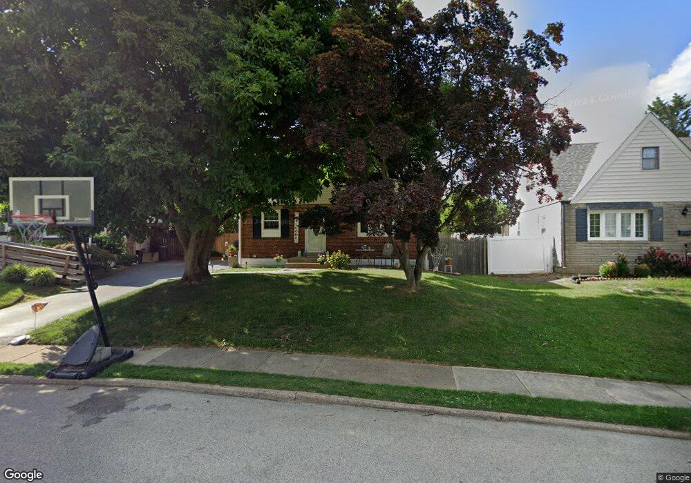
735 Brooke Cir Morton, PA 19070
Estimated Value: $376,000 - $407,564
2
Beds
2
Baths
1,915
Sq Ft
$205/Sq Ft
Est. Value
About This Home
This home is located at 735 Brooke Cir, Morton, PA 19070 and is currently estimated at $393,391, approximately $205 per square foot. 735 Brooke Cir is a home located in Delaware County with nearby schools including Amosland El School, Ridley Middle School, and Ridley High School.
Ownership History
Date
Name
Owned For
Owner Type
Purchase Details
Closed on
Jun 18, 1999
Sold by
Vail George J and Vail Olga
Bought by
Parkinson Lawrence and Parkinson Patricia A
Current Estimated Value
Home Financials for this Owner
Home Financials are based on the most recent Mortgage that was taken out on this home.
Original Mortgage
$134,816
Outstanding Balance
$35,673
Interest Rate
7.09%
Mortgage Type
FHA
Estimated Equity
$357,718
Create a Home Valuation Report for This Property
The Home Valuation Report is an in-depth analysis detailing your home's value as well as a comparison with similar homes in the area
Home Values in the Area
Average Home Value in this Area
Purchase History
| Date | Buyer | Sale Price | Title Company |
|---|---|---|---|
| Parkinson Lawrence | $134,900 | -- |
Source: Public Records
Mortgage History
| Date | Status | Borrower | Loan Amount |
|---|---|---|---|
| Open | Parkinson Lawrence | $134,816 |
Source: Public Records
Tax History Compared to Growth
Tax History
| Year | Tax Paid | Tax Assessment Tax Assessment Total Assessment is a certain percentage of the fair market value that is determined by local assessors to be the total taxable value of land and additions on the property. | Land | Improvement |
|---|---|---|---|---|
| 2025 | $8,198 | $236,110 | $65,590 | $170,520 |
| 2024 | $8,198 | $236,110 | $65,590 | $170,520 |
| 2023 | $7,841 | $236,110 | $65,590 | $170,520 |
| 2022 | $7,590 | $236,110 | $65,590 | $170,520 |
| 2021 | $11,749 | $236,110 | $65,590 | $170,520 |
| 2020 | $6,872 | $121,650 | $33,420 | $88,230 |
| 2019 | $6,746 | $121,650 | $33,420 | $88,230 |
| 2018 | $6,662 | $121,650 | $0 | $0 |
| 2017 | $5,997 | $109,510 | $0 | $0 |
| 2016 | $601 | $109,510 | $0 | $0 |
| 2015 | $601 | $109,510 | $0 | $0 |
| 2014 | $601 | $109,510 | $0 | $0 |
Source: Public Records
Map
Nearby Homes
- 734 Brooke Cir
- 706 Brooke Ave
- 810 Quince Ln
- 668 Hutchinson Terrace
- 2335 Poe Rd
- 2329 Armstrong Ave
- 1919 Pershing Ave
- 1905 Shasta Cir
- 2238 Clayton Rd
- 31 Faraday Ct
- 860 Wyndom Terrace
- 2379 Mole Rd
- 2202 Clayton Rd
- 1806 Unity Terrace
- 425 Hutchinson Terrace
- 2502 Grand Ave
- 1908 Franklin Ave
- 601 Country Ln
- 31 Silver Lake Terrace Unit 32
- 510 Amosland Rd
- 733 Brooke Cir
- 737 Brooke Cir
- 731 Brooke Cir
- 2208 Pershing Ave
- 2210 Pershing Ave
- 2206 Pershing Ave
- 724 Brooke Cir
- 2212 Pershing Ave
- 729 Brooke Cir
- 722 Brooke Cir
- 741 Brooke Cir
- 2204 Pershing Ave
- 2214 Pershing Ave
- 726 Brooke Cir
- 720 Brooke Cir
- 743 Brooke Cir
- 2202 Pershing Ave
- 727 Brooke Cir
- 2216 Pershing Ave
- 723 Pearl Ave