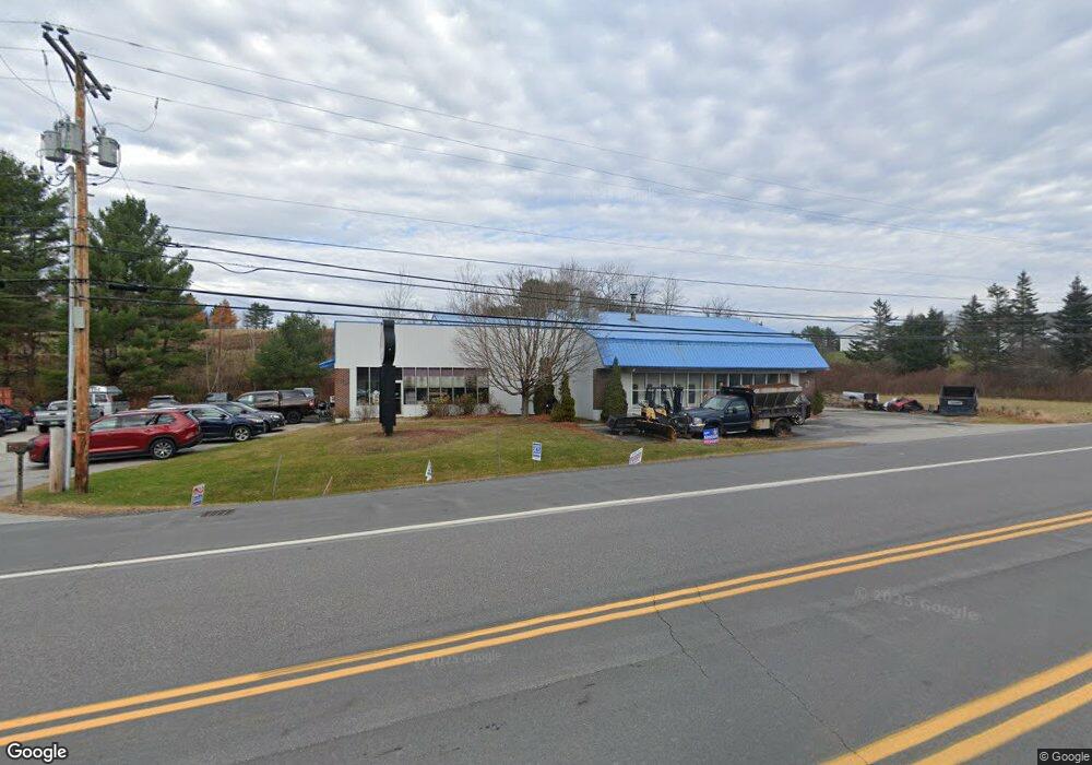
735 John Stark Hwy Newport, NH 03773
Estimated Value: $1,321,424
--
Bed
1
Bath
8,712
Sq Ft
$152/Sq Ft
Est. Value
About This Home
This home is located at 735 John Stark Hwy, Newport, NH 03773 and is currently estimated at $1,321,424, approximately $151 per square foot. 735 John Stark Hwy is a home located in Sullivan County with nearby schools including Richards Elementary School, Newport High School, and Newport Montessori School.
Ownership History
Date
Name
Owned For
Owner Type
Purchase Details
Closed on
Mar 4, 2013
Sold by
Rl J Marshall Freidman
Bought by
Rhtl Partners Llc
Current Estimated Value
Purchase Details
Closed on
Jan 26, 2009
Sold by
1B Property Holdings L
Bought by
J Mullane Kelleyvlg Ll
Home Financials for this Owner
Home Financials are based on the most recent Mortgage that was taken out on this home.
Original Mortgage
$175,000
Interest Rate
5.51%
Mortgage Type
Commercial
Purchase Details
Closed on
Dec 19, 2008
Sold by
Collision Pro Inc
Bought by
1B Property Holdings L
Home Financials for this Owner
Home Financials are based on the most recent Mortgage that was taken out on this home.
Original Mortgage
$175,000
Interest Rate
5.51%
Mortgage Type
Commercial
Purchase Details
Closed on
May 4, 2007
Sold by
Annis Michael A
Bought by
Collision Pro Inc
Home Financials for this Owner
Home Financials are based on the most recent Mortgage that was taken out on this home.
Original Mortgage
$408,000
Interest Rate
6.23%
Mortgage Type
Commercial
Create a Home Valuation Report for This Property
The Home Valuation Report is an in-depth analysis detailing your home's value as well as a comparison with similar homes in the area
Home Values in the Area
Average Home Value in this Area
Purchase History
| Date | Buyer | Sale Price | Title Company |
|---|---|---|---|
| Rhtl Partners Llc | $602,000 | -- | |
| J Mullane Kelleyvlg Ll | $261,000 | -- | |
| 1B Property Holdings L | $433,500 | -- | |
| Collision Pro Inc | $520,000 | -- |
Source: Public Records
Mortgage History
| Date | Status | Borrower | Loan Amount |
|---|---|---|---|
| Open | Collision Pro Inc | $251,250 | |
| Previous Owner | Collision Pro Inc | $175,000 | |
| Previous Owner | Collision Pro Inc | $408,000 |
Source: Public Records
Tax History Compared to Growth
Tax History
| Year | Tax Paid | Tax Assessment Tax Assessment Total Assessment is a certain percentage of the fair market value that is determined by local assessors to be the total taxable value of land and additions on the property. | Land | Improvement |
|---|---|---|---|---|
| 2024 | $11,474 | $472,000 | $191,400 | $280,600 |
| 2023 | $11,130 | $472,000 | $191,400 | $280,600 |
| 2022 | $9,865 | $472,000 | $191,400 | $280,600 |
| 2021 | $10,893 | $330,100 | $72,000 | $258,100 |
| 2020 | $10,926 | $330,100 | $72,000 | $258,100 |
| 2019 | $10,738 | $330,100 | $72,000 | $258,100 |
| 2018 | $10,035 | $330,100 | $72,000 | $258,100 |
| 2017 | $9,916 | $330,100 | $72,000 | $258,100 |
| 2016 | $9,946 | $346,200 | $84,900 | $261,300 |
| 2015 | $10,126 | $346,200 | $84,900 | $261,300 |
| 2014 | $10,954 | $346,200 | $84,900 | $261,300 |
| 2013 | $10,383 | $346,200 | $84,900 | $261,300 |
Source: Public Records
Map
Nearby Homes
- 736 John Stark Hwy
- 680-2 John Stark Hwy
- 430 John Stark Hwy
- 300 E Green Mountain Rd
- 381 E Green Mountain Rd
- 146 Elm St
- 12 4th St
- 342 E Green Mountain Rd
- 00 E Green Mountain Rd Unit 13
- 13 Fairbanks Rd
- 11 Putnam Rd
- 003 E Green Mountain Rd
- 002 E Green Mountain Rd
- 001 E Green Mountain Rd
- 151 Cheney St
- 225 Sugar River Dr
- 9 Depot St
- 37 Park St
- 8 Prospect St
- 38 River St
- 0 Barton Whitney Rd
- 717 John Stark Hwy
- 14 Barton Whitney Rd
- 687 John Stark Hwy
- 47 Barton Whitney Rd
- 49 Barton Whitney Rd
- 151 Chandlers Mill Rd
- 15 Ram Brook Rd
- 6 Barton Whitney Rd
- 82 Chandlers Mills
- 000 Langley Rd
- 00 Langley Rd
- 00 Langley Rd Unit 2084
- 878 John Stark Hwy
- 9 Langley Rd
- 11 Ram Brook Rd
- 27 Ram Brook Rd
- 34 Langley Rd
- 0 Langley Rd
- 651 John Stark Hwy