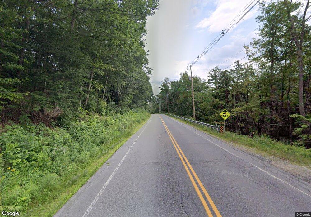
735 Route 10 S Grantham, NH 03753
Estimated Value: $363,000 - $432,066
2
Beds
1
Bath
1,442
Sq Ft
$277/Sq Ft
Est. Value
About This Home
This home is located at 735 Route 10 S, Grantham, NH 03753 and is currently estimated at $400,017, approximately $277 per square foot. 735 Route 10 S is a home with nearby schools including Grantham Village School and Lebanon High School.
Create a Home Valuation Report for This Property
The Home Valuation Report is an in-depth analysis detailing your home's value as well as a comparison with similar homes in the area
Home Values in the Area
Average Home Value in this Area
Tax History
| Year | Tax Paid | Tax Assessment Tax Assessment Total Assessment is a certain percentage of the fair market value that is determined by local assessors to be the total taxable value of land and additions on the property. | Land | Improvement |
|---|---|---|---|---|
| 2024 | $5,509 | $280,944 | $61,944 | $219,000 |
| 2023 | $4,941 | $280,910 | $61,910 | $219,000 |
| 2022 | $4,618 | $280,910 | $61,910 | $219,000 |
| 2021 | $4,472 | $195,125 | $47,825 | $147,300 |
| 2020 | $4,575 | $195,013 | $47,713 | $147,300 |
| 2019 | $4,273 | $165,222 | $39,222 | $126,000 |
| 2018 | $4,311 | $165,222 | $39,222 | $126,000 |
| 2017 | $3,920 | $165,268 | $39,268 | $126,000 |
| 2016 | $3,940 | $165,268 | $39,268 | $126,000 |
| 2015 | $3,985 | $165,212 | $39,212 | $126,000 |
| 2014 | $4,254 | $191,012 | $68,412 | $122,600 |
| 2013 | $4,098 | $191,123 | $68,523 | $122,600 |
Source: Public Records
Map
Nearby Homes
- 6 Brookside Dr
- 119 Shedd Rd
- 8 Cradle Hill Ln
- 9 Cradle Hill Ln
- 50 Longwood Dr
- tbd Stocker Pond Unit 236-43
- 3 Fairway Dr
- 151 Woodland Heights
- 27 Spring Valley Dr
- 27 Eagle Dr
- 0 Route 10 N Unit 5058175
- 22 Brookridge Dr
- 155 Top O World Rd
- 26 Barn Owl Overlook
- 106 Kemp Rd
- 8 Sandy Brae
- 9 Pleasant Dr
- 140 Hogg Hill Rd
- 54 Black Duck Spur
- 3 Trillium Ln
- 775 Route 10 S
- 730 Route 10 S
- 689 Route 10 South Route
- 55 Sherman Dr
- 41 Sherman Dr
- 665 Route 10 S
- 54 Sherman Dr
- 40 Sherman Dr
- 635 Route 10 S
- 220 Splitrock Rd
- 615 Route 10 S
- 304 Splitrock Rd
- 391 Splitrock Rd
- 350 Splitrock Rd
- 185 Docs Dr
- 145 Docs Dr
- 195 Sugarwood Ln
- 908 Route 10 S
- 565 Route 10 S
- 80 Doc's Dr
