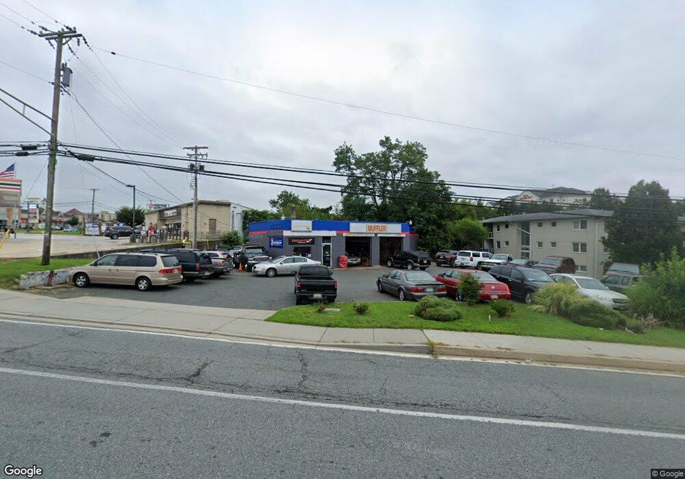
735 W Bel Air Ave Aberdeen, MD 21001
Estimated Value: $526,406
--
Bed
--
Bath
2,820
Sq Ft
$187/Sq Ft
Est. Value
About This Home
This home is located at 735 W Bel Air Ave, Aberdeen, MD 21001 and is currently estimated at $526,406, approximately $186 per square foot. 735 W Bel Air Ave is a home located in Harford County with nearby schools including Bakerfield Elementary School, Aberdeen Middle School, and Aberdeen High School.
Ownership History
Date
Name
Owned For
Owner Type
Purchase Details
Closed on
Dec 13, 2021
Sold by
Ams Property Management Llc
Bought by
Belair 35 Llc
Current Estimated Value
Purchase Details
Closed on
Jun 13, 2008
Sold by
Watson S Ra L
Bought by
Ams Property Management Llc
Purchase Details
Closed on
Jun 2, 2008
Sold by
Watson S Ra L
Bought by
Ams Property Management Llc
Purchase Details
Closed on
May 27, 2008
Sold by
Pyle Mary L
Bought by
Watson Sandra L and Pyle Robert J
Create a Home Valuation Report for This Property
The Home Valuation Report is an in-depth analysis detailing your home's value as well as a comparison with similar homes in the area
Home Values in the Area
Average Home Value in this Area
Purchase History
| Date | Buyer | Sale Price | Title Company |
|---|---|---|---|
| Belair 35 Llc | $450,000 | None Listed On Document | |
| Ams Property Management Llc | -- | -- | |
| Watson Sandra L | -- | -- | |
| Ams Property Management Llc | -- | -- | |
| Watson Sandra L | -- | -- |
Source: Public Records
Tax History Compared to Growth
Tax History
| Year | Tax Paid | Tax Assessment Tax Assessment Total Assessment is a certain percentage of the fair market value that is determined by local assessors to be the total taxable value of land and additions on the property. | Land | Improvement |
|---|---|---|---|---|
| 2025 | $4,283 | $455,267 | $0 | $0 |
| 2024 | $4,283 | $449,333 | $0 | $0 |
| 2023 | $4,227 | $443,400 | $348,800 | $94,600 |
| 2022 | $4,227 | $443,400 | $348,800 | $94,600 |
| 2021 | $8,454 | $443,400 | $348,800 | $94,600 |
| 2020 | $4,542 | $451,600 | $348,800 | $102,800 |
| 2019 | $4,542 | $451,600 | $348,800 | $102,800 |
| 2018 | $0 | $451,600 | $348,800 | $102,800 |
| 2017 | $4,482 | $454,600 | $0 | $0 |
| 2016 | -- | $449,700 | $0 | $0 |
| 2015 | $4,399 | $444,800 | $0 | $0 |
| 2014 | $4,399 | $439,900 | $0 | $0 |
Source: Public Records
Map
Nearby Homes
- 11 Bush Chapel Rd
- 21 Gunnison Dr
- 321 Woodland Green Ct
- 631 W Bel Air Ave
- 301 Northeast Rd
- 642 Westwood Dr
- 638 Westwood Dr
- 754 Custis St
- 647 Elm St
- 770 Custis St
- 444 Chestnut St
- 458 Roberts Way
- 722 Bur Oak Ct Unit 77
- 35 Hillman Ct
- 0 Harford St Unit MDHR2039982
- 73 Baker St
- 77 Baker St
- 418 Hiobs Ln
- 458 Bonnett St
- 406 Ford St
- 738 W Bel Air Ave
- 731 W Bel Air Ave
- 764 W Bel Air Ave
- 758 W Bel Air Ave
- 1040 Beards Hill Rd
- 800 W Bel Air Ave
- 5 Bush Chapel Rd
- 729 W Bel Air Ave
- 6 Bush Chapel Rd
- 7 Bush Chapel Rd
- 9 Bush Chapel Rd
- 1050 Beards Hill Rd
- 724 Service Rd
- 2 Bush Chapel Rd
- 780 W Bel Air Ave
- 10 Grant St
- 6 Grant St
- 0 Arthur Rd Unit MDHR2028736
- 14 Grant St
- 2 Grant St