735 Wp Harrell Rd Eastman, GA 31023
Estimated Value: $140,000 - $209,000
3
Beds
2
Baths
1,883
Sq Ft
$95/Sq Ft
Est. Value
About This Home
This home is located at 735 Wp Harrell Rd, Eastman, GA 31023 and is currently estimated at $179,743, approximately $95 per square foot. 735 Wp Harrell Rd is a home located in Dodge County with nearby schools including Dodge County High School.
Ownership History
Date
Name
Owned For
Owner Type
Purchase Details
Closed on
Nov 22, 2017
Sold by
Dennis Roger Phil
Bought by
Dennis Roger Phil and Dennis Ethan William
Current Estimated Value
Home Financials for this Owner
Home Financials are based on the most recent Mortgage that was taken out on this home.
Original Mortgage
$64,600
Outstanding Balance
$54,003
Interest Rate
3.94%
Mortgage Type
New Conventional
Estimated Equity
$125,740
Purchase Details
Closed on
Mar 7, 2017
Sold by
Murray Mark
Bought by
Southland Restoration Llc
Create a Home Valuation Report for This Property
The Home Valuation Report is an in-depth analysis detailing your home's value as well as a comparison with similar homes in the area
Home Values in the Area
Average Home Value in this Area
Purchase History
| Date | Buyer | Sale Price | Title Company |
|---|---|---|---|
| Dennis Roger Phil | -- | -- | |
| Dennis Roger Phil | $68,000 | -- | |
| Southland Restoration Llc | $22,047 | -- |
Source: Public Records
Mortgage History
| Date | Status | Borrower | Loan Amount |
|---|---|---|---|
| Open | Dennis Roger Phil | $64,600 | |
| Closed | Dennis Roger Phil | $64,600 |
Source: Public Records
Tax History Compared to Growth
Tax History
| Year | Tax Paid | Tax Assessment Tax Assessment Total Assessment is a certain percentage of the fair market value that is determined by local assessors to be the total taxable value of land and additions on the property. | Land | Improvement |
|---|---|---|---|---|
| 2025 | $1,096 | $44,283 | $4,890 | $39,393 |
| 2024 | $943 | $36,269 | $4,890 | $31,379 |
| 2023 | $937 | $36,269 | $4,890 | $31,379 |
| 2022 | $865 | $33,507 | $3,694 | $29,813 |
| 2021 | $864 | $32,929 | $3,694 | $29,235 |
| 2020 | $850 | $32,401 | $3,166 | $29,235 |
| 2019 | $751 | $29,391 | $3,166 | $26,225 |
| 2018 | $751 | $29,391 | $3,166 | $26,225 |
| 2014 | -- | $1,400 | $0 | $1,400 |
Source: Public Records
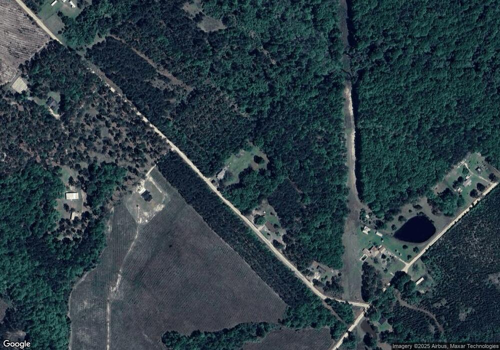
Map
Nearby Homes
- 781 Jordan Brown Rd
- 9 June Ln
- 0 Lakeside Dr Unit 10642966
- 264 Ridley Rd
- 1348 Minter Ridge
- 1108 College St
- 1110 College St
- 0 Mcrae Hwy
- 0 Shady Oaks Rd Unit 10400925
- 0 Shady Oaks Rd Unit 246471
- 74 Durham St
- 6515 Fred Bohannon Rd
- 619 Cooper Ave
- 0 Windy Way
- 228 Legion Dr
- 5616 Beulah Ave
- 5415 Beulah Ave
- 0 Forest Ave Unit 10588959
- 5422 1st Ave
- 5021 Greenhill Rd
- 781 W P Harrell Rd
- 781 Wp Harrell Rd
- 288 Evergreen Church Rd
- 620 Wp Harrell Rd
- 375 Evergreen Church Rd
- 361 Evergreen Church Rd
- 254 Evergreen Church Rd
- 2660 Mcrae Hwy
- 2866 Mcrae Hwy
- 63 Godwinsville Rd
- 847 Jordan Brown Rd
- 52 Godwinsville Rd
- 809 Jordan Brown Rd
- 16 Weeks Rd
- 1442 Cofield Rd
- 670 Jordan Brown Rd
- 745 Jordan Brown Rd
- LL 45TH LD14 1. Leonard Jones Road the Pines
- LL 45TH LD14 1. Leonard Jones Road the Pines
- 00 Jordan Brown Rd