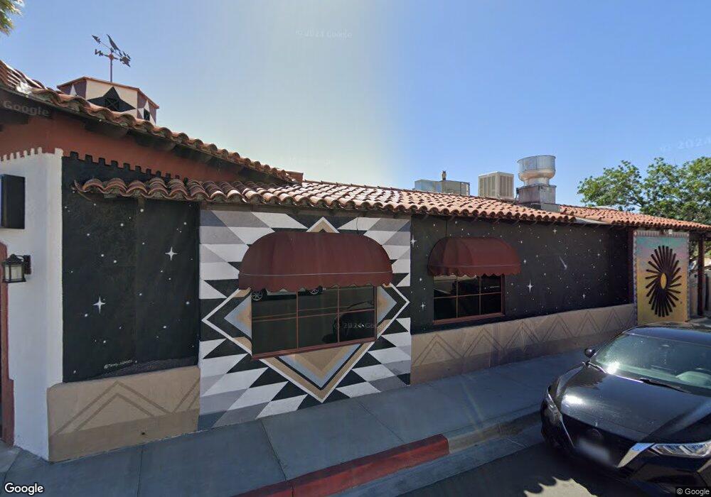
73511 29 Palms Hwy Unit 9 Twentynine Palms, CA 92277
Estimated Value: $556,996
--
Bed
2
Baths
3,730
Sq Ft
$149/Sq Ft
Est. Value
About This Home
This home is located at 73511 29 Palms Hwy Unit 9, Twentynine Palms, CA 92277 and is currently estimated at $556,996, approximately $149 per square foot. 73511 29 Palms Hwy Unit 9 is a home located in San Bernardino County with nearby schools including Palm Vista Elementary School, Twentynine Palms Junior High School, and Twentynine Palms High School.
Ownership History
Date
Name
Owned For
Owner Type
Purchase Details
Closed on
Sep 14, 2023
Sold by
Masterson John E
Bought by
John Edward Masterson 2023 Family Trust and Masterson
Current Estimated Value
Purchase Details
Closed on
Sep 12, 2018
Sold by
Masterson John E and Masterson Karon E
Bought by
State Of California Department Of Trans
Purchase Details
Closed on
Nov 19, 2002
Sold by
Rianda Kent Allen and Rianda Jerri Jo
Bought by
Masterson John E and Masterson Karon E
Home Financials for this Owner
Home Financials are based on the most recent Mortgage that was taken out on this home.
Original Mortgage
$127,500
Interest Rate
6.03%
Mortgage Type
Commercial
Purchase Details
Closed on
May 2, 1995
Sold by
Rianda Kent
Bought by
Rianda Kent and Rianda Jeri Jo
Create a Home Valuation Report for This Property
The Home Valuation Report is an in-depth analysis detailing your home's value as well as a comparison with similar homes in the area
Home Values in the Area
Average Home Value in this Area
Purchase History
| Date | Buyer | Sale Price | Title Company |
|---|---|---|---|
| John Edward Masterson 2023 Family Trust | -- | None Listed On Document | |
| State Of California Department Of Trans | -- | None Available | |
| Masterson John E | $170,000 | Fidelity National Title | |
| Rianda Kent | -- | -- |
Source: Public Records
Mortgage History
| Date | Status | Borrower | Loan Amount |
|---|---|---|---|
| Previous Owner | Masterson John E | $127,500 |
Source: Public Records
Tax History Compared to Growth
Tax History
| Year | Tax Paid | Tax Assessment Tax Assessment Total Assessment is a certain percentage of the fair market value that is determined by local assessors to be the total taxable value of land and additions on the property. | Land | Improvement |
|---|---|---|---|---|
| 2025 | $2,570 | $229,168 | $26,070 | $203,098 |
| 2024 | $2,570 | $224,675 | $25,559 | $199,116 |
| 2023 | $2,519 | $220,270 | $25,058 | $195,212 |
| 2022 | $4,184 | $207,451 | $24,566 | $182,885 |
| 2021 | $2,350 | $203,383 | $24,084 | $179,299 |
| 2020 | $2,330 | $201,298 | $23,837 | $177,461 |
| 2019 | $2,295 | $197,351 | $23,370 | $173,981 |
| 2018 | $2,244 | $193,482 | $22,912 | $170,570 |
| 2017 | $2,220 | $189,688 | $22,463 | $167,225 |
| 2016 | $2,180 | $185,969 | $22,023 | $163,946 |
| 2015 | $2,145 | $183,175 | $21,692 | $161,483 |
| 2014 | $2,132 | $179,587 | $21,267 | $158,320 |
Source: Public Records
Map
Nearby Homes
- 0 Desert Queen Ave Unit JT25091700
- 0 Desert Queen Ave Unit IG25055063
- 6455 Tamarisk Ave
- 6444 Tamarisk Ave
- 6563 Oasis Ave
- 0 None Ave Unit IV21146903
- 0 None Ave Unit IV21146873
- 0 None Ave Unit IV21146824
- 6600 Split Rock Ave
- 6667 Desert Queen Ave
- 6367 Split Rock Ave
- 73478 Old Dale Rd
- 73485 Old Dale Rd
- 3 Old Dale Rd
- 6688 Oasis Ave
- 0 Pine Ave Unit DW24138946
- 6462 Palo Verde Ave
- 69538 Jim Pine
- 6262 Smoketree Ave
- 0 29 Palms Hwy Unit OC25047546
- 73511 29 Palms Hwy
- 73527 29 Palms Hwy
- 6559 Tamarisk Ave
- 73501 Twentynine Palms Hwy Unit 4
- 73501 Twentynine Palms Hwy
- 73501 Twentynine Palms Hwy Unit 3
- 6527 Tamarisk Ave
- 73493 29 Palms Hwy
- 73493 Twentynine Palms Hwy
- 4 Tamarisk Ave
- 73489 29 Palms Hwy
- 73481 Twentynine Palms Hwy
- 73481 29 Palms Hwy
- 73486 Twentynine Palms Hwy
- 73475 Twentynine Palms Hwy
- 0 Tamarisk Dr Unit IV13247917
- 0 Tamarisk Ave Unit IG16716554
- 0 Tamarisk Ave Unit IG16716531
- 0 Tamarisk Ave Unit IG16716541
- 0 Tamarisk Ave Unit JT20088511