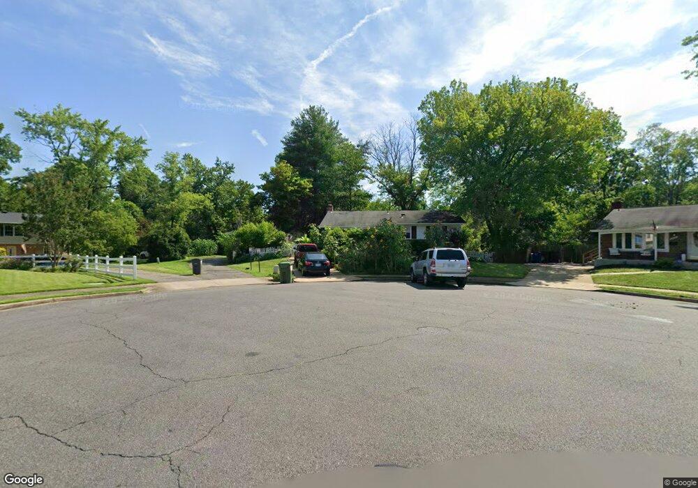
7353 Forrester Ln Manassas, VA 20109
Estimated Value: $492,906 - $573,000
3
Beds
2
Baths
1,189
Sq Ft
$445/Sq Ft
Est. Value
About This Home
This home is located at 7353 Forrester Ln, Manassas, VA 20109 and is currently estimated at $528,727, approximately $444 per square foot. 7353 Forrester Ln is a home located in Prince William County with nearby schools including Sudley Elementary School, Unity Braxton Middle School, and Unity Reed High School.
Ownership History
Date
Name
Owned For
Owner Type
Purchase Details
Closed on
Jul 22, 2003
Sold by
Douse Richard W
Bought by
Morales Pedro
Current Estimated Value
Home Financials for this Owner
Home Financials are based on the most recent Mortgage that was taken out on this home.
Original Mortgage
$267,249
Outstanding Balance
$114,306
Interest Rate
5.34%
Mortgage Type
FHA
Estimated Equity
$414,421
Purchase Details
Closed on
Nov 12, 1996
Sold by
Clements Richard G and Clements Margaret N
Bought by
Douse Richard W
Home Financials for this Owner
Home Financials are based on the most recent Mortgage that was taken out on this home.
Original Mortgage
$143,900
Interest Rate
8.1%
Mortgage Type
New Conventional
Create a Home Valuation Report for This Property
The Home Valuation Report is an in-depth analysis detailing your home's value as well as a comparison with similar homes in the area
Home Values in the Area
Average Home Value in this Area
Purchase History
| Date | Buyer | Sale Price | Title Company |
|---|---|---|---|
| Morales Pedro | $269,500 | -- | |
| Douse Richard W | $151,500 | -- |
Source: Public Records
Mortgage History
| Date | Status | Borrower | Loan Amount |
|---|---|---|---|
| Open | Morales Pedro | $267,249 | |
| Previous Owner | Douse Richard W | $143,900 |
Source: Public Records
Tax History Compared to Growth
Tax History
| Year | Tax Paid | Tax Assessment Tax Assessment Total Assessment is a certain percentage of the fair market value that is determined by local assessors to be the total taxable value of land and additions on the property. | Land | Improvement |
|---|---|---|---|---|
| 2025 | -- | $425,800 | $141,300 | $284,500 |
| 2024 | -- | $406,100 | $130,300 | $275,800 |
| 2023 | $4,052 | $389,400 | $125,500 | $263,900 |
| 2022 | $4,341 | $381,700 | $125,500 | $256,200 |
| 2021 | $4,297 | $349,700 | $114,200 | $235,500 |
| 2020 | $5,059 | $326,400 | $114,200 | $212,200 |
| 2019 | $4,802 | $309,800 | $114,200 | $195,600 |
| 2018 | $3,677 | $304,500 | $114,200 | $190,300 |
| 2017 | $3,640 | $292,600 | $114,200 | $178,400 |
| 2016 | $3,412 | $276,400 | $100,800 | $175,600 |
| 2015 | $3,037 | $269,000 | $97,300 | $171,700 |
| 2014 | $3,037 | $239,800 | $86,000 | $153,800 |
Source: Public Records
Map
Nearby Homes
- 7608 Bland Dr
- 7530 Campbell Ct
- 7506 Todd Place
- 9724 Copeland Dr
- 9732 Copeland Dr
- 7518 Quail Run Ln
- 7398 Barbados Ln
- 9929 Loudoun Ave
- 7823 Brookview Ct
- 10502 Oronoco Ln
- 7832 Brookview Ct
- 9613 King George Dr
- 7498 Tangier Way
- 7416 Rokeby Dr
- 7546 Belle Grae Dr Unit 1
- 10407 Paradise Ct
- 10524 Falkirk Way
- 10581 Linden Lake Plaza
- 7812 Amherst Dr
- 7726 Amherst Dr
- 7355 Forrester Ln
- 7351 Forrester Ln
- 7350 Forrester Ln
- 7357 Forrester Ln
- 7352 Forrester Ln
- 7354 Forrester Ln
- 7401 Forrester Ln
- 7356 Forrester Ln
- 7400 Forrester Ln
- 7403 Forrester Ln
- 7402 Roxbury Ave
- 7398 Roxbury Ave
- 7405 Forrester Ln
- 7396 Roxbury Ave
- 7404 Roxbury Ave
- 7404 Forrester Ln
- 7394 Roxbury Ave
- 7407 Forrester Ln
- 7406 Roxbury Ave
- 7406 Forrester Ln