7360 Clove Rd Placerville, CA 95667
Estimated Value: $425,967 - $456,000
3
Beds
2
Baths
1,440
Sq Ft
$305/Sq Ft
Est. Value
About This Home
This home is located at 7360 Clove Rd, Placerville, CA 95667 and is currently estimated at $439,656, approximately $305 per square foot. 7360 Clove Rd is a home located in El Dorado County with nearby schools including Union Mine High School.
Ownership History
Date
Name
Owned For
Owner Type
Purchase Details
Closed on
Jul 3, 2000
Sold by
Harris William G and Harris Ramona E
Bought by
Loftis Lawrence W and Loftis Francesca A
Current Estimated Value
Purchase Details
Closed on
Apr 8, 1996
Sold by
Joerger E H E and Joerger Van M
Bought by
Harris William G and Harris Ramona E
Home Financials for this Owner
Home Financials are based on the most recent Mortgage that was taken out on this home.
Original Mortgage
$142,789
Interest Rate
7.41%
Create a Home Valuation Report for This Property
The Home Valuation Report is an in-depth analysis detailing your home's value as well as a comparison with similar homes in the area
Home Values in the Area
Average Home Value in this Area
Purchase History
| Date | Buyer | Sale Price | Title Company |
|---|---|---|---|
| Loftis Lawrence W | $123,383 | -- | |
| Harris William G | $140,000 | Inter County Title Co |
Source: Public Records
Mortgage History
| Date | Status | Borrower | Loan Amount |
|---|---|---|---|
| Previous Owner | Harris William G | $142,789 |
Source: Public Records
Tax History
| Year | Tax Paid | Tax Assessment Tax Assessment Total Assessment is a certain percentage of the fair market value that is determined by local assessors to be the total taxable value of land and additions on the property. | Land | Improvement |
|---|---|---|---|---|
| 2025 | $2,277 | $210,927 | $60,256 | $150,671 |
| 2024 | $2,277 | $206,792 | $59,075 | $147,717 |
| 2023 | $2,233 | $202,738 | $57,917 | $144,821 |
| 2022 | $2,197 | $198,764 | $56,782 | $141,982 |
| 2021 | $2,167 | $194,868 | $55,669 | $139,199 |
| 2020 | $2,140 | $192,871 | $55,099 | $137,772 |
| 2019 | $2,110 | $189,090 | $54,019 | $135,071 |
| 2018 | $2,051 | $185,383 | $52,960 | $132,423 |
| 2017 | $2,017 | $181,749 | $51,922 | $129,827 |
| 2016 | $1,985 | $178,186 | $50,904 | $127,282 |
| 2015 | $1,919 | $175,512 | $50,141 | $125,371 |
| 2014 | $1,919 | $172,076 | $49,160 | $122,916 |
Source: Public Records
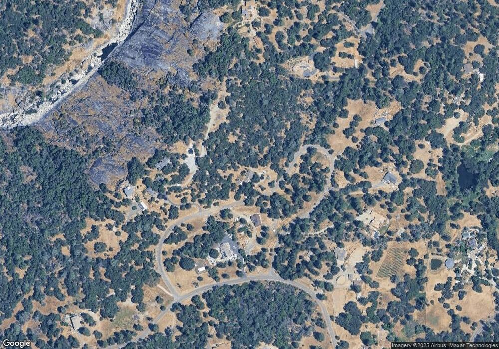
Map
Nearby Homes
- 5541 Bucks Bar Cir
- 1020 Mount Aukum Ct
- 0 Cosumnes View Trail Unit 224066683
- 3861 High View Dr
- 5205 Rooster Ln
- 5295 Rooster Ln
- 6340 Grizzly Flat Rd
- 5939 Silver Ridge Ln
- 5045 Free Fox Ln
- 0 Palace Ln
- 6187 Outingdale Rd
- 4640 Cabernet Way
- 6412 Mount Aukum Rd
- 5401 Mayfair Ln
- 6432 Happy Valley Rd
- 10-Acres Dream Ranch Cir
- 6638 Summer Way
- 5383 Dream Ranch Cir
- 5664 Siesta Ln
- 5600 Upper Siesta Ln
- 7385 Clove Rd
- 7270 Nutmeg Ln
- 7410 Clove Rd
- 7310 Nutmeg Ln
- 4065 Yosemite Place
- 7300 Clove Rd
- 7320 Clove Rd
- 4080 Yosemite Place
- 7263 Nutmeg Ln
- 7365 Nutmeg Ln
- 4078 Yosemite Place
- 4635 Sand Ridge Rd
- 4675 Sand Ridge Rd
- 7235 Nutmeg Ln
- 5810 Bucks Bar Rd
- 7200 Nutmeg Ln
- 5790 Bucks Bar Rd
- 2000 Breks Rd
- 4709 Sand Ridge Rd
Your Personal Tour Guide
Ask me questions while you tour the home.