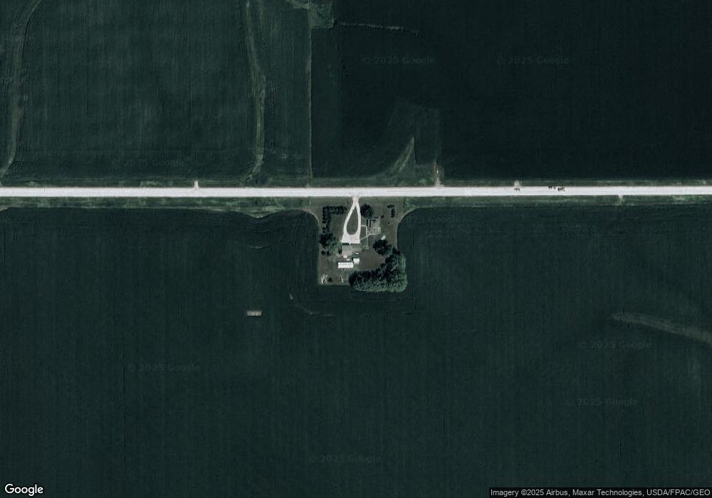
7361 Highway F62 W Prairie City, IA 50228
Estimated Value: $365,000 - $421,000
3
Beds
5
Baths
2,360
Sq Ft
$171/Sq Ft
Est. Value
About This Home
This home is located at 7361 Highway F62 W, Prairie City, IA 50228 and is currently estimated at $404,199, approximately $171 per square foot. 7361 Highway F62 W is a home located in Jasper County with nearby schools including PCM High School.
Ownership History
Date
Name
Owned For
Owner Type
Purchase Details
Closed on
Aug 20, 2015
Sold by
Clark Jacob S and Clark Angela L
Bought by
Kain Nathan W and Kain Laura L
Current Estimated Value
Home Financials for this Owner
Home Financials are based on the most recent Mortgage that was taken out on this home.
Original Mortgage
$208,000
Outstanding Balance
$163,591
Interest Rate
4.03%
Mortgage Type
New Conventional
Estimated Equity
$240,608
Create a Home Valuation Report for This Property
The Home Valuation Report is an in-depth analysis detailing your home's value as well as a comparison with similar homes in the area
Home Values in the Area
Average Home Value in this Area
Purchase History
| Date | Buyer | Sale Price | Title Company |
|---|---|---|---|
| Kain Nathan W | $260,000 | None Available |
Source: Public Records
Mortgage History
| Date | Status | Borrower | Loan Amount |
|---|---|---|---|
| Open | Kain Nathan W | $208,000 |
Source: Public Records
Tax History Compared to Growth
Tax History
| Year | Tax Paid | Tax Assessment Tax Assessment Total Assessment is a certain percentage of the fair market value that is determined by local assessors to be the total taxable value of land and additions on the property. | Land | Improvement |
|---|---|---|---|---|
| 2025 | $4,288 | $437,930 | $76,000 | $361,930 |
| 2024 | $4,288 | $356,170 | $50,070 | $306,100 |
| 2023 | $4,162 | $356,170 | $50,070 | $306,100 |
| 2022 | $3,654 | $289,780 | $50,070 | $239,710 |
| 2021 | $4,052 | $266,360 | $50,070 | $216,290 |
| 2020 | $4,052 | $267,720 | $39,620 | $228,100 |
| 2019 | $3,742 | $230,930 | $0 | $0 |
| 2018 | $3,742 | $230,930 | $0 | $0 |
| 2017 | $3,760 | $230,930 | $0 | $0 |
| 2016 | $3,760 | $205,350 | $0 | $0 |
| 2015 | $3,120 | $204,790 | $0 | $0 |
| 2014 | $2,980 | $204,790 | $0 | $0 |
Source: Public Records
Map
Nearby Homes
- 6719 S 104th Ave W
- 605 E Kayla Ln
- 502 E Kayla Ln
- 504 E Plainsmen Rd
- 201 N Dewey St
- 804 Marshall Ct N
- 702 Marshall Ct N
- 103 E South St
- 402 S Main St
- 803 Carly Ln
- 105 E North St
- 206 N Monroe St
- 101 W 8th St
- 505 W Meadow Dr
- 408 N Park St
- HWY 163 S Norris St
- 605 S Norris St
- 413 N Buchanan St
- 213 W Lincoln St
- 601 N Commerce St