7366 Dutton Rd Gloucester, VA 23061
Ware Neck NeighborhoodEstimated Value: $272,000 - $466,000
3
Beds
3
Baths
1,938
Sq Ft
$200/Sq Ft
Est. Value
About This Home
This home is located at 7366 Dutton Rd, Gloucester, VA 23061 and is currently estimated at $386,714, approximately $199 per square foot. 7366 Dutton Rd is a home located in Gloucester County with nearby schools including Petsworth Elementary School, Peasley Middle School, and Gloucester High School.
Ownership History
Date
Name
Owned For
Owner Type
Purchase Details
Closed on
May 2, 2025
Sold by
Shippey Charles E and Shippey Kathleen T
Bought by
Shippey Living Trust and Shippey
Current Estimated Value
Purchase Details
Closed on
Dec 21, 2018
Sold by
Langley Federal Credit Union
Bought by
Shippey Charles and Shippey Kathleen
Create a Home Valuation Report for This Property
The Home Valuation Report is an in-depth analysis detailing your home's value as well as a comparison with similar homes in the area
Home Values in the Area
Average Home Value in this Area
Purchase History
| Date | Buyer | Sale Price | Title Company |
|---|---|---|---|
| Shippey Living Trust | -- | None Listed On Document | |
| Shippey Charles | $130,000 | The Closers Of Virginia Inc |
Source: Public Records
Tax History
| Year | Tax Paid | Tax Assessment Tax Assessment Total Assessment is a certain percentage of the fair market value that is determined by local assessors to be the total taxable value of land and additions on the property. | Land | Improvement |
|---|---|---|---|---|
| 2025 | $2,333 | $380,040 | $78,790 | $301,250 |
| 2024 | $2,333 | $380,040 | $78,790 | $301,250 |
| 2023 | $2,216 | $380,040 | $78,790 | $301,250 |
| 2022 | $2,013 | $277,670 | $50,560 | $227,110 |
| 2021 | $1,732 | $249,170 | $50,560 | $198,610 |
| 2020 | $1,732 | $249,170 | $50,560 | $198,610 |
| 2019 | $1,565 | $225,140 | $48,050 | $177,090 |
| 2017 | $1,565 | $225,140 | $48,050 | $177,090 |
| 2016 | $1,592 | $229,000 | $52,550 | $176,450 |
| 2015 | $1,468 | $282,200 | $86,000 | $196,200 |
| 2014 | $1,492 | $282,200 | $86,000 | $196,200 |
Source: Public Records
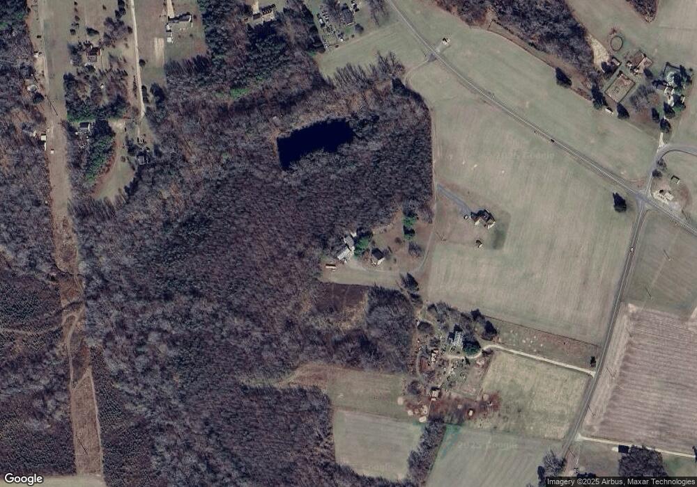
Map
Nearby Homes
- 00 New Upton Farms Ln
- 10785 Hornets Nest Rd
- 11802 Deep Point Ln
- LOT 2 Riverwatch Dr
- 686 Shore Dr
- 27 E West Pkwy
- 262 Columbine Dr
- Lot 1 Poplar Dr
- 89 Poplar Dr
- 1033 Point Anne Dr
- 939 Coachpoint Rd
- 335 Pineview Dr
- 000 Horse Run Rd
- 00 Horse Run Rd
- 3.1+AC Buckskin Trail
- 00 Buckskin Trail
- 722 Point Anne Dr
- 10114 New Hope Ct
- 6245 Glenns Rd
- 0 Coachpoint Rd
- 7330 Dutton Rd
- 7365 Dutton Rd
- 6908 New Upton Farms Ln
- Lot 9 Harcum Rd
- 2.09ac Harcum Rd
- 0000 Harcum Rd
- 0 Harcum Rd
- 1+ Harcum Rd
- 678 State Route 678
- 6972 New Upton Farms Ln
- 6932 New Upton Farms Ln
- 11532 Harcum Rd
- 6955 New Upton Farms Ln
- 6888 New Upton Farms Ln
- 11176 Cabins End Ln
- 000 Dutton Rd
- 0 Dutton Rd Unit 1813365
- 00 Dutton Rd
- 0 Dutton Rd Unit 106033
- 9108 Dutton Rd
Your Personal Tour Guide
Ask me questions while you tour the home.