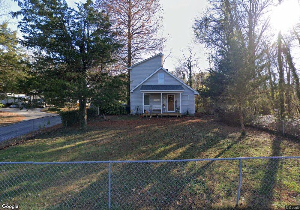
737 Donaldson Ave Severn, MD 21144
Estimated Value: $511,000 - $557,000
--
Bed
2
Baths
1,950
Sq Ft
$272/Sq Ft
Est. Value
About This Home
This home is located at 737 Donaldson Ave, Severn, MD 21144 and is currently estimated at $529,641, approximately $271 per square foot. 737 Donaldson Ave is a home located in Anne Arundel County with nearby schools including Severn Elementary School, Old Mill Middle School North, and Old Mill High School.
Ownership History
Date
Name
Owned For
Owner Type
Purchase Details
Closed on
Jan 11, 1994
Sold by
Harp
Bought by
Marks Tracy D
Current Estimated Value
Home Financials for this Owner
Home Financials are based on the most recent Mortgage that was taken out on this home.
Original Mortgage
$85,541
Interest Rate
7.23%
Create a Home Valuation Report for This Property
The Home Valuation Report is an in-depth analysis detailing your home's value as well as a comparison with similar homes in the area
Home Values in the Area
Average Home Value in this Area
Purchase History
| Date | Buyer | Sale Price | Title Company |
|---|---|---|---|
| Marks Tracy D | $85,000 | -- |
Source: Public Records
Mortgage History
| Date | Status | Borrower | Loan Amount |
|---|---|---|---|
| Closed | Marks Tracy D | $85,541 |
Source: Public Records
Tax History Compared to Growth
Tax History
| Year | Tax Paid | Tax Assessment Tax Assessment Total Assessment is a certain percentage of the fair market value that is determined by local assessors to be the total taxable value of land and additions on the property. | Land | Improvement |
|---|---|---|---|---|
| 2025 | $2,954 | $475,800 | $221,800 | $254,000 |
| 2024 | $2,954 | $442,567 | $0 | $0 |
| 2023 | $3,030 | $409,333 | $0 | $0 |
| 2022 | $2,817 | $376,100 | $171,800 | $204,300 |
| 2021 | $5,554 | $370,233 | $0 | $0 |
| 2020 | $2,687 | $364,367 | $0 | $0 |
| 2019 | $2,646 | $358,500 | $171,800 | $186,700 |
| 2018 | $3,593 | $354,300 | $0 | $0 |
| 2017 | $2,524 | $350,100 | $0 | $0 |
| 2016 | -- | $345,900 | $0 | $0 |
| 2015 | -- | $311,767 | $0 | $0 |
| 2014 | -- | $277,633 | $0 | $0 |
Source: Public Records
Map
Nearby Homes
- 7811 Wolf Run Ln
- 7844 Clark Station Rd
- 7875 Telegraph Rd
- 7860 Telegraph Rd
- 7966 Foster Ave
- 1402 Valley Creek Rd
- 7711 Phelps Farm Ln
- 1012 Morgan Station Dr
- 7959 Telegraph Rd Unit 34
- 1207 Thompson Ave
- 1002B Elbridge Way
- 7616 W B & A Rd
- 911 S Wieker Rd
- 1010 Tuscany Ln
- 900 S Wieker Rd
- 207 Otis Dr
- 564 Eason Dr
- 802 Lucky Rd
- 7884 Walnut Grove Rd
- 8244 Roanoke Ct
- 734 Donaldson Ave
- 7829 Clark Station Rd
- 7804 Wolf Run Ln
- 7806 Wolf Run Ln
- 7808 Wolf Run Ln
- 7810 Wolf Run Ln
- 7812 Wolf Run Ln
- 7814 Wolf Run Ln
- 740 Donaldson Ave
- 7827 Clark Station Rd
- 7816 Wolf Run Ln
- 7835 Clark Station Rd
- 7822 Wolf Run Ln
- 7824 Wolf Run Ln
- 725 Old Donaldson Ave
- 0 Donaldson Ave Unit 1007529182
- 0 Donaldson Ave Unit 1007230308
- 0 Donaldson Ave Unit 1007182090
- 0 Donaldson Ave Unit 1006998614
- 0 Donaldson Ave Unit 1006389538