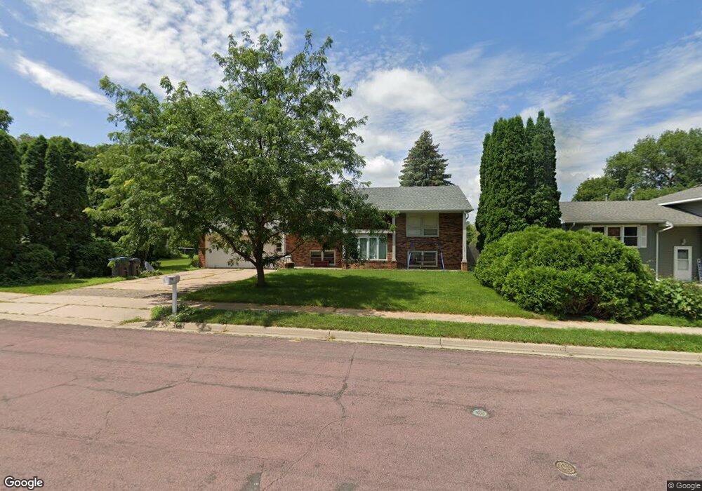
737 James Ave Unit 737 James Avenue Mankato, MN 56001
Rasmussen Park NeighborhoodEstimated Value: $261,000 - $309,000
4
Beds
2
Baths
1,095
Sq Ft
$262/Sq Ft
Est. Value
About This Home
This home is located at 737 James Ave Unit 737 James Avenue, Mankato, MN 56001 and is currently estimated at $286,369, approximately $261 per square foot. 737 James Ave Unit 737 James Avenue is a home located in Blue Earth County with nearby schools including Jefferson Elementary School, Dakota Meadows Middle School, and Mankato West Senior High School.
Ownership History
Date
Name
Owned For
Owner Type
Purchase Details
Closed on
Aug 9, 2018
Sold by
Stafford Scott R and Stafford Melissa L
Bought by
Mentele Luke and Mentele Lowra
Current Estimated Value
Home Financials for this Owner
Home Financials are based on the most recent Mortgage that was taken out on this home.
Original Mortgage
$181,000
Outstanding Balance
$157,191
Interest Rate
4.5%
Mortgage Type
New Conventional
Estimated Equity
$129,178
Purchase Details
Closed on
Dec 11, 2009
Sold by
Hess Donald G
Bought by
Stafford Scott R and Stafford Melissa L
Home Financials for this Owner
Home Financials are based on the most recent Mortgage that was taken out on this home.
Original Mortgage
$126,350
Interest Rate
4.96%
Mortgage Type
New Conventional
Create a Home Valuation Report for This Property
The Home Valuation Report is an in-depth analysis detailing your home's value as well as a comparison with similar homes in the area
Home Values in the Area
Average Home Value in this Area
Purchase History
| Date | Buyer | Sale Price | Title Company |
|---|---|---|---|
| Mentele Luke | $197,000 | Minnesota River Valley Title | |
| Stafford Scott R | $133,000 | -- |
Source: Public Records
Mortgage History
| Date | Status | Borrower | Loan Amount |
|---|---|---|---|
| Open | Mentele Luke | $181,000 | |
| Previous Owner | Stafford Scott R | $126,350 |
Source: Public Records
Tax History Compared to Growth
Tax History
| Year | Tax Paid | Tax Assessment Tax Assessment Total Assessment is a certain percentage of the fair market value that is determined by local assessors to be the total taxable value of land and additions on the property. | Land | Improvement |
|---|---|---|---|---|
| 2025 | $2,546 | $249,200 | $36,400 | $212,800 |
| 2024 | $2,546 | $244,900 | $36,500 | $208,400 |
| 2023 | $2,534 | $244,900 | $36,500 | $208,400 |
| 2022 | $2,024 | $229,700 | $36,500 | $193,200 |
| 2021 | $2,008 | $176,800 | $36,500 | $140,300 |
| 2020 | $1,910 | $167,400 | $36,500 | $130,900 |
| 2019 | $1,758 | $167,400 | $36,500 | $130,900 |
| 2018 | $1,680 | $155,800 | $36,500 | $119,300 |
| 2017 | $1,508 | $150,600 | $36,500 | $114,100 |
| 2016 | $1,498 | $143,800 | $36,500 | $107,300 |
| 2015 | $14 | $143,800 | $36,500 | $107,300 |
| 2014 | $2,084 | $414,900 | $109,500 | $305,400 |
Source: Public Records
Map
Nearby Homes
- 737 James Ave
- 739 James Ave
- 733 James Ave
- 729 James Ave
- 101 Huntington Dr
- 732 Stoltzman Rd
- 741 James Ave
- 100 Huntington Dr
- 725 James Ave
- 103 Huntington Dr
- 728 Stoltzman Rd
- 736 Stoltzman Rd
- 744 James Ave
- 744 James Ave
- 742 James Ave
- 106 Huntington Dr
- 748 James Ave
- 108 Huntington Dr
- 721 James Ave
- 724 Stoltzman Rd