737 Meadowfield Rd Gaston, SC 29053
Estimated Value: $46,000 - $215,000
--
Bed
--
Bath
2,128
Sq Ft
$56/Sq Ft
Est. Value
About This Home
This home is located at 737 Meadowfield Rd, Gaston, SC 29053 and is currently estimated at $118,455, approximately $55 per square foot. 737 Meadowfield Rd is a home located in Lexington County with nearby schools including Sandhills Primary School, Sandhills Elementary School, and Sandhills Middle School.
Ownership History
Date
Name
Owned For
Owner Type
Purchase Details
Closed on
Mar 28, 2008
Sold by
Gilstrap Jamie
Bought by
Gilstrap Ray
Current Estimated Value
Purchase Details
Closed on
Aug 26, 2005
Sold by
Herring Charles E and Herring Christina S
Bought by
Gilstrap Ray and Gilstrap Jamie
Purchase Details
Closed on
Dec 10, 2001
Sold by
Wheeler Daniel P
Bought by
Matthews Traci S
Purchase Details
Closed on
Nov 30, 2001
Sold by
Bankers Trust Co Of Ca
Bought by
Herring Charles E
Purchase Details
Closed on
Oct 22, 1998
Sold by
North Star Homes Llc
Bought by
Reno Robert
Create a Home Valuation Report for This Property
The Home Valuation Report is an in-depth analysis detailing your home's value as well as a comparison with similar homes in the area
Home Values in the Area
Average Home Value in this Area
Purchase History
| Date | Buyer | Sale Price | Title Company |
|---|---|---|---|
| Gilstrap Ray | -- | -- | |
| Gilstrap Ray | $80,000 | -- | |
| Matthews Traci S | $95,500 | -- | |
| Herring Charles E | $47,000 | -- | |
| Reno Robert | $13,800 | -- |
Source: Public Records
Tax History Compared to Growth
Tax History
| Year | Tax Paid | Tax Assessment Tax Assessment Total Assessment is a certain percentage of the fair market value that is determined by local assessors to be the total taxable value of land and additions on the property. | Land | Improvement |
|---|---|---|---|---|
| 2024 | $118 | $1,303 | $600 | $703 |
| 2023 | $118 | $1,303 | $600 | $703 |
| 2022 | $126 | $1,303 | $600 | $703 |
| 2020 | $95 | $1,303 | $600 | $703 |
| 2019 | $124 | $1,186 | $612 | $574 |
| 2018 | $125 | $1,186 | $612 | $574 |
| 2017 | $114 | $1,186 | $612 | $574 |
| 2016 | $67 | $1,186 | $612 | $574 |
| 2014 | $52 | $692 | $612 | $80 |
| 2013 | -- | $690 | $610 | $80 |
Source: Public Records
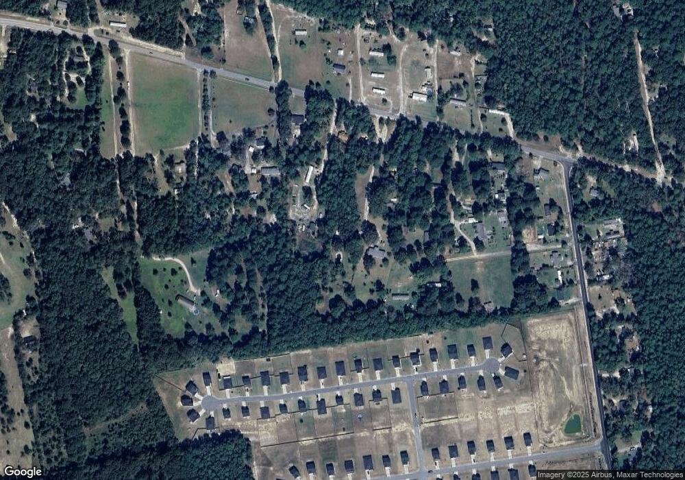
Map
Nearby Homes
- 302 Silver Spur Way
- 409 Olive Grouse Ln
- 405 Olive Grouse Ln
- 410 Olive Grouse Ln
- 318 Silver Spur Way
- 427 Olive Grouse Ln
- 422 Olive Grouse Ln
- 418 Olive Grouse Ln
- 315 Silver Spur Way
- 423 Olive Grouse Ln
- 0 Meadowfield Rd Unit 585500
- 2035 Woodtrail Dr
- 1901 Woodtrail Dr
- 2465 Sharpes Hill Rd
- 145 Glencrest Dr
- 977 Meadowfield Rd
- 0 Forestbrook Ln
- 0 Sharpes Hill Rd
- 223 Mimosa Dr
- 0 Mimosa Dr
- 735 Meadowfield Rd
- 747 Meadowfield Rd
- 731 Meadowfield Rd
- 122 Fallaw Rd
- 749 Meadowfield Rd
- 723 Meadowfield Rd
- 727 Meadowfield Rd
- 739 Meadowfield Rd
- 743 Meadowfield Rd
- 812 Nilo Farms Way
- 751 Meadowfield Rd
- 0 Woodcrest Ln
- 719 Meadowfield Rd
- 753 Meadowfield Rd
- 757 Meadowfield Rd
- 763 Meadowfield Rd
- 000 Nilo Farms Way
- 717 Meadowfield Rd
- 742 Meadowfield Rd
- 730 Meadowfield Rd