Estimated Value: $348,000 - $384,000
3
Beds
2
Baths
1,339
Sq Ft
$272/Sq Ft
Est. Value
About This Home
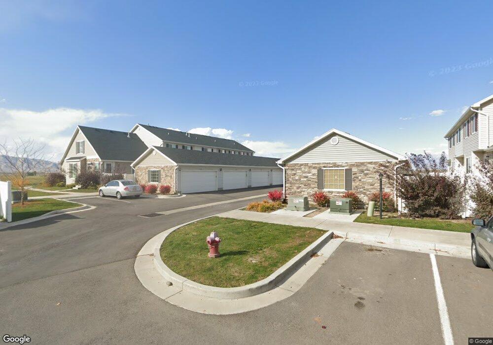
This home is located at 737 N 150 E, Salem, UT 84653 and is currently estimated at $363,920, approximately $271 per square foot. 737 N 150 E is a home located in Utah County with nearby schools including Salem Elementary, Salem Junior High School, and Valley View Middle School.
Ownership History
Date
Name
Owned For
Owner Type
Purchase Details
Closed on
Apr 20, 2021
Sold by
Porter Braedon and Porter Hayden
Bought by
Connors Nathan Lee and Storrer Savanna Rose
Current Estimated Value
Home Financials for this Owner
Home Financials are based on the most recent Mortgage that was taken out on this home.
Original Mortgage
$301,010
Outstanding Balance
$271,776
Interest Rate
3%
Mortgage Type
New Conventional
Estimated Equity
$92,144
Purchase Details
Closed on
Feb 21, 2020
Sold by
Porter Braedon
Bought by
Porter Braedon and Porter Hayden
Purchase Details
Closed on
Jan 2, 2019
Sold by
Goorgetown Development Inc
Bought by
Porter Braedon
Home Financials for this Owner
Home Financials are based on the most recent Mortgage that was taken out on this home.
Original Mortgage
$223,233
Interest Rate
4.8%
Mortgage Type
New Conventional
Create a Home Valuation Report for This Property
The Home Valuation Report is an in-depth analysis detailing your home's value as well as a comparison with similar homes in the area
Home Values in the Area
Average Home Value in this Area
Purchase History
| Date | Buyer | Sale Price | Title Company |
|---|---|---|---|
| Connors Nathan Lee | -- | Key Land Title | |
| Porter Braedon | -- | Key Land Title | |
| Porter Braedon | -- | Key Land Title | |
| Porter Braedon | -- | United West Title |
Source: Public Records
Mortgage History
| Date | Status | Borrower | Loan Amount |
|---|---|---|---|
| Open | Connors Nathan Lee | $301,010 | |
| Previous Owner | Porter Braedon | $223,233 |
Source: Public Records
Tax History
| Year | Tax Paid | Tax Assessment Tax Assessment Total Assessment is a certain percentage of the fair market value that is determined by local assessors to be the total taxable value of land and additions on the property. | Land | Improvement |
|---|---|---|---|---|
| 2025 | $1,824 | $184,030 | -- | -- |
| 2024 | $1,824 | $185,020 | $0 | $0 |
| 2023 | $1,697 | $172,370 | $0 | $0 |
| 2022 | $1,737 | $173,800 | $0 | $0 |
| 2021 | $1,480 | $237,600 | $35,600 | $202,000 |
| 2020 | $1,486 | $232,100 | $37,700 | $194,400 |
| 2019 | $1,455 | $232,000 | $35,000 | $197,000 |
Source: Public Records
Map
Nearby Homes
- 703 N 150 E
- 685 N 220 E
- 708 N 220 E
- 1176 N 250 E Unit 71
- 689-1198 N 1850 E
- 685-1197 N 1850 E
- 625 N 220 E
- 741 S State Rd Unit 14
- 191 E 560 N
- 743 S State Rd Unit 17
- 886 S State Rd Unit 189
- 906 S State Rd Unit 192
- 637 N 400 E
- 655 N 410 E Lot #15 E
- 673 410 E
- 691 N 400 E
- 596 N 360 E
- 144 W 590 N Unit 26
- 14 W 590 N
- 14 W 590 N Unit 19
Your Personal Tour Guide
Ask me questions while you tour the home.