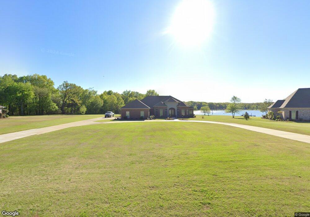
737 Prairie Waters Dr Columbus, MS 39701
Estimated Value: $515,000 - $547,000
3
Beds
5
Baths
3,720
Sq Ft
$144/Sq Ft
Est. Value
About This Home
This home is located at 737 Prairie Waters Dr, Columbus, MS 39701 and is currently estimated at $537,496, approximately $144 per square foot. 737 Prairie Waters Dr is a home located in Lowndes County.
Ownership History
Date
Name
Owned For
Owner Type
Purchase Details
Closed on
Jul 22, 2022
Sold by
Groves Judith K
Bought by
Harris William G and Harris Betty L
Current Estimated Value
Home Financials for this Owner
Home Financials are based on the most recent Mortgage that was taken out on this home.
Original Mortgage
$388,800
Outstanding Balance
$371,287
Interest Rate
5.7%
Mortgage Type
New Conventional
Estimated Equity
$166,209
Purchase Details
Closed on
Apr 1, 2011
Sold by
Sanders David W
Bought by
Groves Judith K
Create a Home Valuation Report for This Property
The Home Valuation Report is an in-depth analysis detailing your home's value as well as a comparison with similar homes in the area
Home Values in the Area
Average Home Value in this Area
Purchase History
| Date | Buyer | Sale Price | Title Company |
|---|---|---|---|
| Harris William G | -- | None Listed On Document | |
| Groves Judith K | -- | -- |
Source: Public Records
Mortgage History
| Date | Status | Borrower | Loan Amount |
|---|---|---|---|
| Open | Harris William G | $388,800 |
Source: Public Records
Tax History Compared to Growth
Tax History
| Year | Tax Paid | Tax Assessment Tax Assessment Total Assessment is a certain percentage of the fair market value that is determined by local assessors to be the total taxable value of land and additions on the property. | Land | Improvement |
|---|---|---|---|---|
| 2025 | $3,651 | $45,779 | $0 | $0 |
| 2024 | $3,651 | $45,779 | $0 | $0 |
| 2023 | $2,989 | $38,969 | $0 | $0 |
| 2022 | $3,404 | $38,969 | $0 | $0 |
| 2021 | $3,265 | $38,969 | $0 | $0 |
| 2020 | $3,066 | $38,969 | $0 | $0 |
| 2019 | $2,915 | $36,240 | $0 | $0 |
| 2018 | $2,915 | $36,097 | $0 | $0 |
| 2017 | $0 | $36,097 | $0 | $0 |
| 2016 | $2,771 | $36,097 | $0 | $0 |
| 2015 | -- | $36,824 | $0 | $0 |
| 2014 | -- | $36,824 | $0 | $0 |
Source: Public Records
Map
Nearby Homes
- 0 Breland Overlook Unit 25-2169
- 59 Breland Overlook
- 75 Breland Overlook
- 23 Breezeway Cove
- 28 Breezeway Cove
- 100 Breezeway Cove
- 112 Breezeway Cove
- 96 Breezeway Cove
- 110 Breezeway Cove
- 0 S Frontage Rd
- 0 Golden Horn Rd
- 0 S Frontage Road Lot #5 Unit 25-583
- 0 S Frontage Road Lot #3 Unit 25-581
- 0 S Frontage Road Lot #1 Unit 25-579
- 1381 S Frontage Rd
- 2 S Frontage Rd
- 4 S Frontage Rd
- 5 W Bank Access Rd
- 2 W Bank Access Rd
- 3 W Bank Access Rd
- 753 Prairie Waters Dr
- 717 Prairie Waters Dr
- 783 Prairie Waters Dr
- 685 Prairie Waters Dr
- 820 Prairie Waters Dr
- 648 Prairie Waters Dr
- 423 Breland Overlook
- 939 Prairie Waters Dr
- 20 Breland Overlook
- 860 Prairie Waters Dr
- 0 Breland Overlook (Lot 74) Unit 24-2521
- 0 0 Breland Overlook (Lot 74)
- 50 Breland Overlook
- 991 Prairie Waters Dr
- 892 Prairie Waters Dr
- 52 Breland Overlook
- 60 Breland Overlook
- 1179 Prairie Waters Dr
- 21 Breland Overlook
- 446 Prairie Waters Dr