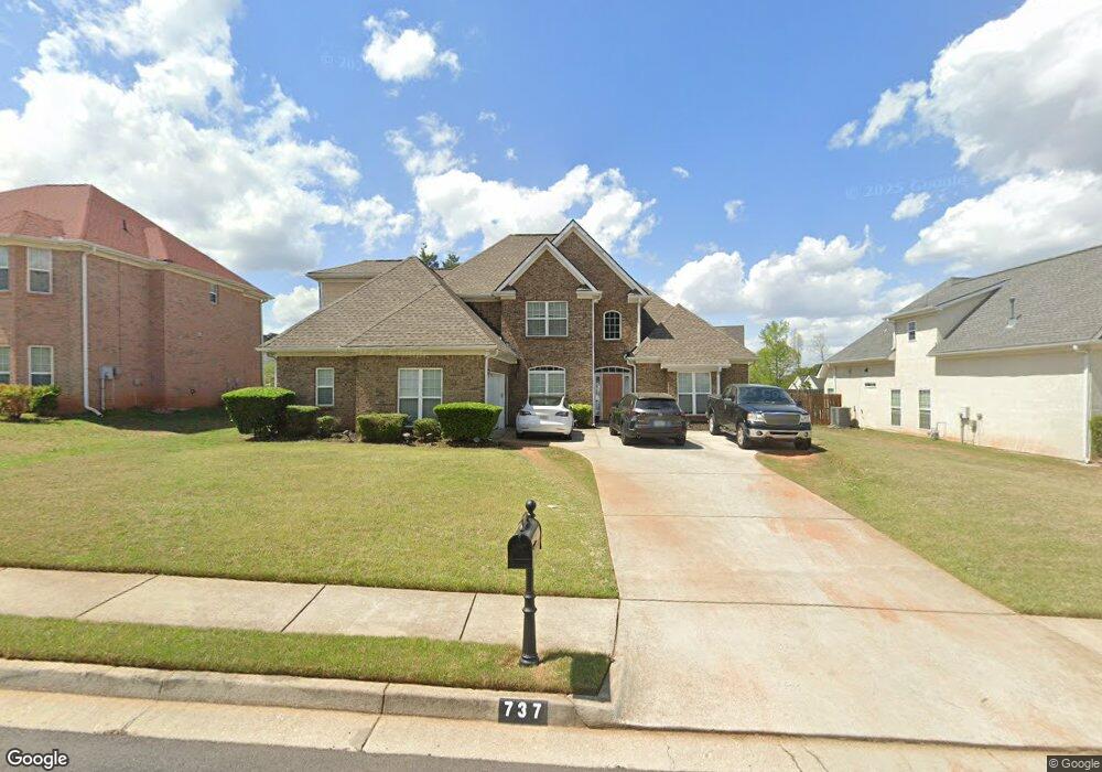
737 Rock Ln Unit 3 McDonough, GA 30253
Estimated Value: $394,000 - $458,000
4
Beds
3
Baths
3,097
Sq Ft
$137/Sq Ft
Est. Value
About This Home
This home is located at 737 Rock Ln Unit 3, McDonough, GA 30253 and is currently estimated at $424,117, approximately $136 per square foot. 737 Rock Ln Unit 3 is a home located in Henry County with nearby schools including Union Grove Middle School, Union Grove High School, and Hickory Flat Elementary School.
Ownership History
Date
Name
Owned For
Owner Type
Purchase Details
Closed on
Feb 1, 2013
Sold by
Crm Central Properties Llc
Bought by
Wortham Eric F
Current Estimated Value
Home Financials for this Owner
Home Financials are based on the most recent Mortgage that was taken out on this home.
Original Mortgage
$147,283
Outstanding Balance
$104,207
Interest Rate
3.75%
Mortgage Type
FHA
Estimated Equity
$319,910
Purchase Details
Closed on
Oct 5, 2010
Sold by
Suntrust Bk
Bought by
Crm Central Properties Llc
Create a Home Valuation Report for This Property
The Home Valuation Report is an in-depth analysis detailing your home's value as well as a comparison with similar homes in the area
Home Values in the Area
Average Home Value in this Area
Purchase History
| Date | Buyer | Sale Price | Title Company |
|---|---|---|---|
| Wortham Eric F | -- | -- | |
| Crm Central Properties Llc | $195,000 | -- |
Source: Public Records
Mortgage History
| Date | Status | Borrower | Loan Amount |
|---|---|---|---|
| Open | Wortham Eric F | $147,283 |
Source: Public Records
Tax History Compared to Growth
Tax History
| Year | Tax Paid | Tax Assessment Tax Assessment Total Assessment is a certain percentage of the fair market value that is determined by local assessors to be the total taxable value of land and additions on the property. | Land | Improvement |
|---|---|---|---|---|
| 2025 | $1,570 | $170,240 | $18,000 | $152,240 |
| 2024 | $1,570 | $163,120 | $18,000 | $145,120 |
| 2023 | $4,566 | $156,480 | $16,000 | $140,480 |
| 2022 | $3,994 | $131,000 | $12,000 | $119,000 |
| 2021 | $3,282 | $100,880 | $12,000 | $88,880 |
| 2020 | $3,347 | $103,640 | $10,000 | $93,640 |
| 2019 | $3,117 | $96,720 | $10,000 | $86,720 |
| 2018 | $3,006 | $92,040 | $10,000 | $82,040 |
| 2016 | $2,710 | $79,480 | $10,000 | $69,480 |
| 2015 | $2,672 | $75,400 | $8,000 | $67,400 |
| 2014 | $2,275 | $60,120 | $6,493 | $53,627 |
Source: Public Records
Map
Nearby Homes
- 796 Rock Ln
- 248 Brannans Walk
- 209 Brannans Walk
- 153 Rockport Dr
- 152 Rockport Dr
- 401 Crosshaven Way
- 200 Kensington Trace
- 214 Kensington Trace
- 479 Crosshaven Way
- 248 Cranapple Ln
- 146 Himalaya Way
- 236 Himalaya Way
- 129 Talon Place
- 228 Kensington Trace
- 1008 Carlyle Place
- 1150 Strath Clyde Way
- 72 Contour Dr
- 1125 Strath Clyde Way
- 0 E Lake Pkwy Unit 9004730
- 10 Caroline Dr
- 737 Rock Ln
- 741 Rock Ln
- 733 Rock Ln
- 920 Needletop Ct
- 745 Rock Ln
- 745 Rock Ln Unit 2
- 829 Rock Ln
- 829 Rock Ln Unit 1
- 916 Needletop Ct
- 916 Needletop Ct Unit 1
- 729 Rock Ln
- 732 Rock Ln
- 880 Rock Ln Unit 1
- 736 Rock Ln
- 736 Rock Ln Unit 2
- 728 Rock Ln
- 924 Needletop Ct Unit 137
- 924 Needletop Ct Unit 1
- 740 Rock Ln Unit 2
- 749 Rock Ln Unit 2