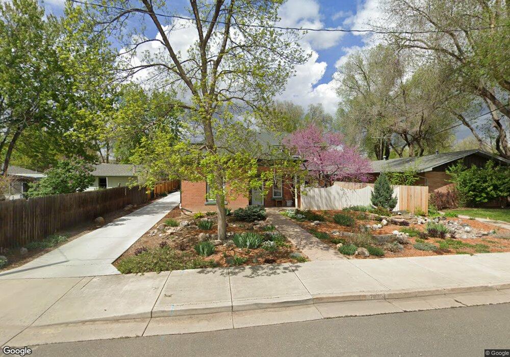
737 W 10th St Loveland, CO 80537
Estimated Value: $823,143 - $1,062,000
3
Beds
4
Baths
2,633
Sq Ft
$348/Sq Ft
Est. Value
About This Home
This home is located at 737 W 10th St, Loveland, CO 80537 and is currently estimated at $916,286, approximately $348 per square foot. 737 W 10th St is a home located in Larimer County with nearby schools including Garfield Elementary School, Bill Reed Middle School, and Loveland High School.
Ownership History
Date
Name
Owned For
Owner Type
Purchase Details
Closed on
Apr 26, 2007
Sold by
Riblett Charles R and Taylor Carolyn L
Bought by
Riblett Charles R and Taylor Carolyn L
Current Estimated Value
Purchase Details
Closed on
Nov 25, 2003
Sold by
Davis James O
Bought by
Riblett Charles R and Taylor Carolyn L
Home Financials for this Owner
Home Financials are based on the most recent Mortgage that was taken out on this home.
Original Mortgage
$75,000
Outstanding Balance
$35,190
Interest Rate
6.06%
Mortgage Type
Credit Line Revolving
Estimated Equity
$881,096
Purchase Details
Closed on
Sep 24, 1999
Sold by
Godell Angelina
Bought by
Davis James O
Purchase Details
Closed on
May 1, 1995
Sold by
Godell Angelina
Bought by
Godell Angelina
Purchase Details
Closed on
Apr 1, 1995
Sold by
Godell Angelina
Bought by
Worm Gus D
Create a Home Valuation Report for This Property
The Home Valuation Report is an in-depth analysis detailing your home's value as well as a comparison with similar homes in the area
Home Values in the Area
Average Home Value in this Area
Purchase History
| Date | Buyer | Sale Price | Title Company |
|---|---|---|---|
| Riblett Charles R | -- | None Available | |
| Riblett Charles R | $325,000 | -- | |
| Davis James O | $78,000 | -- | |
| Godell Angelina | -- | -- | |
| Worm Gus D | $35,000 | -- |
Source: Public Records
Mortgage History
| Date | Status | Borrower | Loan Amount |
|---|---|---|---|
| Open | Riblett Charles R | $75,000 |
Source: Public Records
Tax History Compared to Growth
Tax History
| Year | Tax Paid | Tax Assessment Tax Assessment Total Assessment is a certain percentage of the fair market value that is determined by local assessors to be the total taxable value of land and additions on the property. | Land | Improvement |
|---|---|---|---|---|
| 2025 | $3,968 | $53,406 | $2,546 | $50,860 |
| 2024 | $3,827 | $53,406 | $2,546 | $50,860 |
| 2022 | $3,299 | $41,457 | $2,641 | $38,816 |
| 2021 | $3,390 | $42,650 | $2,717 | $39,933 |
| 2020 | $3,944 | $49,607 | $2,717 | $46,890 |
| 2019 | $3,878 | $49,607 | $2,717 | $46,890 |
| 2018 | $3,785 | $45,986 | $2,736 | $43,250 |
| 2017 | $3,259 | $45,986 | $2,736 | $43,250 |
| 2016 | $2,993 | $40,803 | $3,025 | $37,778 |
| 2015 | $2,968 | $40,800 | $3,020 | $37,780 |
| 2014 | $2,608 | $34,680 | $3,020 | $31,660 |
Source: Public Records
Map
Nearby Homes
- 643 W 10th St
- 604 W 9th St
- 721 Sheridan Ave
- 905 Harrison Ave
- 720 Roosevelt Ave
- 680 Colorado Ave
- 985 W 10th St Unit C3
- 1016 Winona Cir
- 1038 Winona Cir
- 625 Harrison Ave
- 610 W 5th St
- 1100 N Taft Ave Unit 27
- 914 W 6th St
- 1336 Arthur Ave
- 1100 Taft Ave Unit 46
- 1034 N Cleveland Ave
- 1330 W 6th St
- 0 W Eisenhower Blvd
- 1502 Westshore Dr
- 1031 N Lincoln Ave
- 1048 N Franklin Ave
- 709 W 10th St
- 743 W 10th St
- 1052 N Franklin Ave
- 1056 N Franklin Ave
- 1058 N Franklin Ave
- 610 W 11th St
- 1049 N Franklin Ave
- 712 W 10th St
- 748 W 10th St
- 1055 N Franklin Ave
- 720 W 10th St
- 704 W 10th St
- 710 W 10th St
- 606 W 11th St
- 1060 N Franklin Ave
- 755 W 10th St
- 602 W 11th St
- 1057 N Franklin Ave
- 650 W 10th St