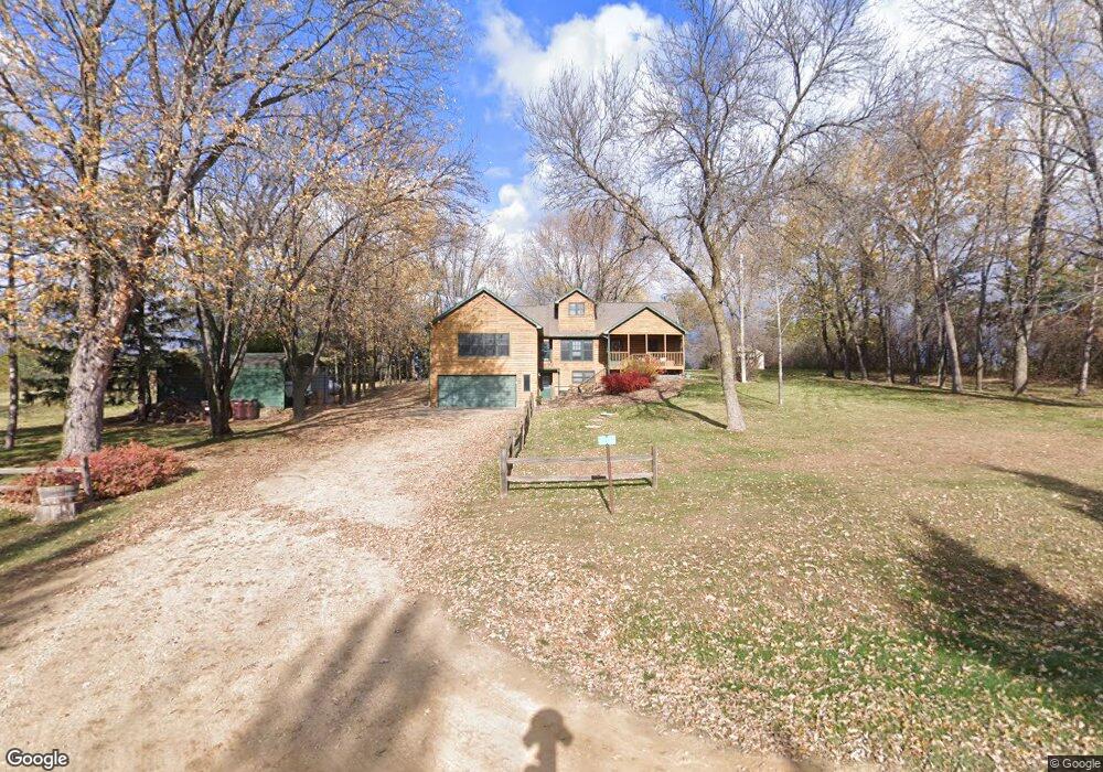
7373 150th St E Hastings, MN 55033
Estimated Value: $519,000 - $672,000
4
Beds
3
Baths
2,380
Sq Ft
$246/Sq Ft
Est. Value
About This Home
This home is located at 7373 150th St E, Hastings, MN 55033 and is currently estimated at $585,426, approximately $245 per square foot. 7373 150th St E is a home located in Dakota County with nearby schools including Christa Mcauliffe Elementary School, Hastings Middle School, and Hastings High School.
Ownership History
Date
Name
Owned For
Owner Type
Purchase Details
Closed on
Feb 14, 2018
Sold by
Hoff Larry O and Hoff Nancy J
Bought by
Smith Derrold E and Smith Veronica A
Current Estimated Value
Home Financials for this Owner
Home Financials are based on the most recent Mortgage that was taken out on this home.
Original Mortgage
$376,200
Outstanding Balance
$318,607
Interest Rate
3.99%
Mortgage Type
New Conventional
Estimated Equity
$266,819
Purchase Details
Closed on
Feb 28, 1986
Sold by
Fluegel Donald J
Bought by
Hoff Larry O and Hoff Nancy J
Create a Home Valuation Report for This Property
The Home Valuation Report is an in-depth analysis detailing your home's value as well as a comparison with similar homes in the area
Home Values in the Area
Average Home Value in this Area
Purchase History
| Date | Buyer | Sale Price | Title Company |
|---|---|---|---|
| Smith Derrold E | $396,000 | Watermark Title Agency Llc | |
| Hoff Larry O | $67,500 | -- |
Source: Public Records
Mortgage History
| Date | Status | Borrower | Loan Amount |
|---|---|---|---|
| Open | Smith Derrold E | $376,200 |
Source: Public Records
Tax History
| Year | Tax Paid | Tax Assessment Tax Assessment Total Assessment is a certain percentage of the fair market value that is determined by local assessors to be the total taxable value of land and additions on the property. | Land | Improvement |
|---|---|---|---|---|
| 2024 | $3,580 | $487,200 | $90,800 | $396,400 |
| 2023 | $3,580 | $499,800 | $90,800 | $409,000 |
| 2022 | $3,344 | $494,200 | $90,700 | $403,500 |
| 2021 | $3,374 | $437,100 | $82,500 | $354,600 |
| 2020 | $3,284 | $423,600 | $78,600 | $345,000 |
| 2019 | $3,136 | $391,900 | $74,800 | $317,100 |
| 2018 | $3,121 | $354,400 | $71,300 | $283,100 |
| 2017 | $2,797 | $339,700 | $67,900 | $271,800 |
| 2016 | $3,024 | $307,200 | $63,400 | $243,800 |
| 2015 | $2,745 | $315,702 | $61,839 | $253,863 |
| 2014 | -- | $282,675 | $57,378 | $225,297 |
| 2013 | -- | $238,966 | $50,907 | $188,059 |
Source: Public Records
Map
Nearby Homes
- 14028 Furlong Trail
- 15775 Frame Ave
- TBD Furlong Trail
- 1967 Sierra Dr Unit 303
- 1406 Oconnell Dr
- 1444 O'Connell Dr
- 2109 Westpointe Dr
- 2157 Westpointe Dr
- 2173 Westpointe Dr
- 2165 Westpointe Dr
- 1874 Tierney Dr
- 2120 Ridgepointe Dr
- 2160 Ridge Pointe Dr
- 1832 Ridgepointe N
- 1801 13th St W
- 1796 Cobblestone Ct
- 1458 Erickson Dr
- 2685 Woodcliffe Trail
- 1626 Fallbrooke Ct
- 1634 River Shore Dr
- 14817 Goodwin Ave
- 7470 150th St E
- 7300 150th St E
- xxxxx Goodwin Ave
- xx4 150th St E
- 15101 Goodwin Ave
- 7270 150th St E
- 7158 150th St E
- 15104 Goodwin Ave
- 14930 Goodwin Ave
- 15030 Goodwin Ave
- 7610 150th St E
- xx3 150th St E
- 7105 150th St E
- 7070 150th St E
- 7048 150th St E
- 7918 150th St E
- 7925 150th St E
- 7948 150th St E
- 15544 Goodwin Ave
Your Personal Tour Guide
Ask me questions while you tour the home.