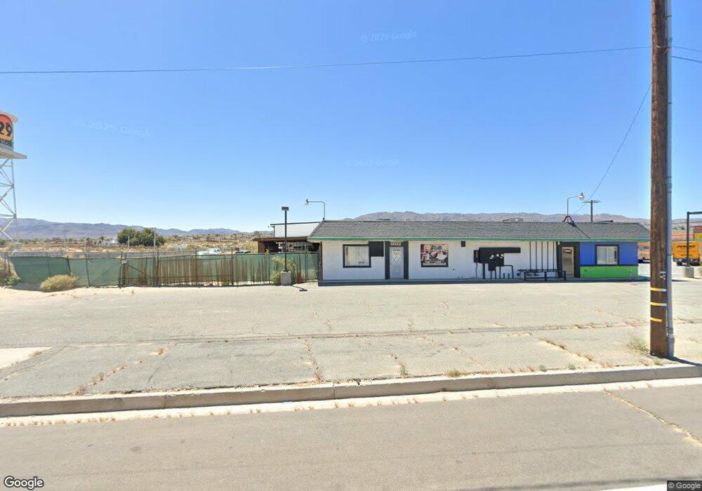
73731 Amboy Rd Twentynine Palms, CA 92277
Estimated Value: $943,938
--
Bed
--
Bath
7,900
Sq Ft
$119/Sq Ft
Est. Value
About This Home
This home is located at 73731 Amboy Rd, Twentynine Palms, CA 92277 and is currently estimated at $943,938, approximately $119 per square foot. 73731 Amboy Rd is a home located in San Bernardino County with nearby schools including Twentynine Palms Elementary School, Twentynine Palms Junior High School, and Twentynine Palms High School.
Ownership History
Date
Name
Owned For
Owner Type
Purchase Details
Closed on
Apr 21, 2023
Sold by
Wet Trust
Bought by
4903 Adobe Llc
Current Estimated Value
Purchase Details
Closed on
Aug 4, 2004
Sold by
Bowden Holland C
Bought by
Berkowitz Greg and Wft Trust
Home Financials for this Owner
Home Financials are based on the most recent Mortgage that was taken out on this home.
Original Mortgage
$250,000
Interest Rate
6.06%
Mortgage Type
Seller Take Back
Create a Home Valuation Report for This Property
The Home Valuation Report is an in-depth analysis detailing your home's value as well as a comparison with similar homes in the area
Home Values in the Area
Average Home Value in this Area
Purchase History
| Date | Buyer | Sale Price | Title Company |
|---|---|---|---|
| 4903 Adobe Llc | -- | None Listed On Document | |
| Berkowitz Greg | $450,000 | First American |
Source: Public Records
Mortgage History
| Date | Status | Borrower | Loan Amount |
|---|---|---|---|
| Previous Owner | Berkowitz Greg | $250,000 |
Source: Public Records
Tax History Compared to Growth
Tax History
| Year | Tax Paid | Tax Assessment Tax Assessment Total Assessment is a certain percentage of the fair market value that is determined by local assessors to be the total taxable value of land and additions on the property. | Land | Improvement |
|---|---|---|---|---|
| 2025 | $7,781 | $734,522 | $208,080 | $526,442 |
| 2024 | $7,781 | $720,120 | $204,000 | $516,120 |
| 2023 | $7,620 | $705,125 | $66,991 | $638,134 |
| 2022 | $7,462 | $691,299 | $65,677 | $625,622 |
| 2021 | $7,384 | $677,744 | $64,389 | $613,355 |
| 2020 | $7,330 | $670,795 | $63,729 | $607,066 |
| 2019 | $7,213 | $657,642 | $62,479 | $595,163 |
| 2018 | $7,040 | $644,747 | $61,254 | $583,493 |
| 2017 | $6,973 | $632,105 | $60,053 | $572,052 |
| 2016 | $6,849 | $619,710 | $58,875 | $560,835 |
| 2015 | $6,784 | $610,402 | $57,991 | $552,411 |
| 2014 | $6,741 | $598,445 | $56,855 | $541,590 |
Source: Public Records
Map
Nearby Homes
- 73730 Amboy Rd
- 4973 Adobe Rd
- 73456 Friendy Ave
- 0 Samarkand Dr Unit 219118977DA
- 5172 Verenda Ave
- 5154 Split Rock Ave
- 3595 Adobe Rd
- 123 Adobe Rd
- 8 Adobe Rd
- 204 Adobe Rd
- 73940 Desert Dunes Dr
- 73971 Samarkand Dr
- 73369 Corbin Rd
- 73843 White Sands Dr
- 6549 Bullion Ave
- 6551 Bullion Ave
- 73853 Playa Vista Dr
- 73883 Playa Vista Dr
- 73300 Raymond Way
- 73736 Homestead Dr
- 4949 Adobe Rd
- 68888 Amboy Rd
- 73773 Amboy Rd
- 4890 Adobe Rd
- 4978 Adobe Rd
- 4966 Adobe Rd
- 5020 5020 Adobe Rd
- 5025 Adobe Rd
- 73649 Amboy Rd
- 5020 Adobe Rd
- 4958 Adobe Rd
- 5010 Adobe Rd
- 5019 Adobe Rd
- 73790 Calle Todd Ln
- 5074 Adobe Rd Unit 29
- 5074 Adobe Rd
- 0 Calle Todd Unit JT18016040
- 0 Calle Todd Unit DC21129251
- 0 Calle Todd Unit DC13123892
- 0 Calle Todd Unit DC14034681