7377 Bond Way Unit 35 Inver Grove Heights, MN 55076
Estimated Value: $271,019 - $287,000
2
Beds
2
Baths
1,200
Sq Ft
$231/Sq Ft
Est. Value
About This Home
This home is located at 7377 Bond Way Unit 35, Inver Grove Heights, MN 55076 and is currently estimated at $277,005, approximately $230 per square foot. 7377 Bond Way Unit 35 is a home located in Dakota County with nearby schools including Hilltop Elementary School, Inver Grove Heights Middle School, and Simley Senior High School.
Ownership History
Date
Name
Owned For
Owner Type
Purchase Details
Closed on
Aug 5, 2022
Sold by
Mary Jo Jensen-Carter Trustee
Bought by
Land Holdings Of Minnesota Llc
Current Estimated Value
Purchase Details
Closed on
Nov 26, 1997
Sold by
Wensmann Realty Inc
Bought by
Wensmann Homes Inc
Create a Home Valuation Report for This Property
The Home Valuation Report is an in-depth analysis detailing your home's value as well as a comparison with similar homes in the area
Home Values in the Area
Average Home Value in this Area
Purchase History
| Date | Buyer | Sale Price | Title Company |
|---|---|---|---|
| Land Holdings Of Minnesota Llc | $10,000 | -- | |
| Wensmann Homes Inc | $18,195 | -- | |
| Frigstad Todd D | $96,945 | -- |
Source: Public Records
Mortgage History
| Date | Status | Borrower | Loan Amount |
|---|---|---|---|
| Closed | Wensmann Homes Inc | -- |
Source: Public Records
Tax History Compared to Growth
Tax History
| Year | Tax Paid | Tax Assessment Tax Assessment Total Assessment is a certain percentage of the fair market value that is determined by local assessors to be the total taxable value of land and additions on the property. | Land | Improvement |
|---|---|---|---|---|
| 2024 | $2,588 | $251,300 | $34,600 | $216,700 |
| 2023 | $2,588 | $249,000 | $34,800 | $214,200 |
| 2022 | $2,240 | $234,300 | $34,800 | $199,500 |
| 2021 | $2,098 | $199,500 | $30,300 | $169,200 |
| 2020 | $1,986 | $183,500 | $28,800 | $154,700 |
| 2019 | $2,009 | $173,000 | $27,400 | $145,600 |
| 2018 | $1,910 | $162,700 | $25,400 | $137,300 |
| 2017 | $1,818 | $153,500 | $23,500 | $130,000 |
| 2016 | $1,828 | $143,300 | $22,400 | $120,900 |
| 2015 | $1,835 | $144,300 | $21,300 | $123,000 |
| 2014 | -- | $137,600 | $19,600 | $118,000 |
| 2013 | -- | $127,900 | $18,100 | $109,800 |
Source: Public Records
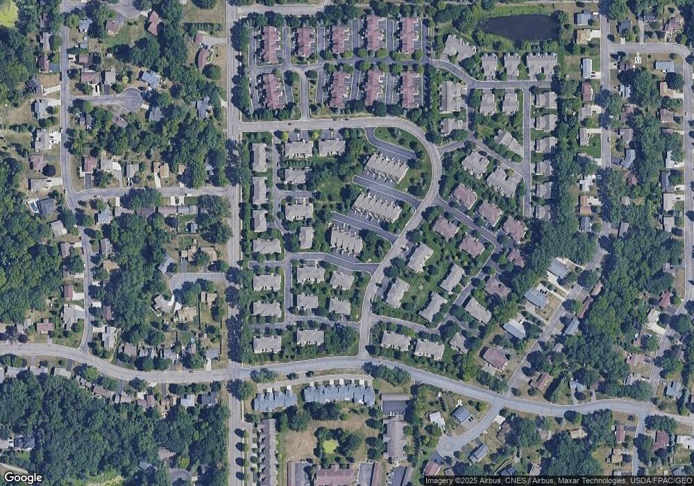
Map
Nearby Homes
- 2584 76th St E
- 2390 75th St E
- 7636 Borman Way
- 6938 Booth Ave
- Virginia Plan at Eagles Landing
- Cottonwood II Plan at Eagles Landing
- Enclave II Plan at Eagles Landing
- Macalaster Plan at Eagles Landing
- Bismarck Plan at Eagles Landing
- Tennessee Plan at Eagles Landing
- St James Plan at Eagles Landing
- Everleigh Plan at Eagles Landing
- Bellefonte Plan at Eagles Landing
- Marquette Plan at Eagles Landing
- St. Croix Plan at Eagles Landing
- Garrison Plan at Eagles Landing
- Madison Plan at Eagles Landing
- Spruce Plan at Eagles Landing
- Poplar Plan at Eagles Landing
- Rhode Island Plan at Eagles Landing
- 7321 Bond Way Unit 14
- 7379 Bond Way Unit 36
- 7375 Bond Way Unit 34
- 7373 Bond Way
- 7371 Bond Way
- 7361 Bond Way Unit 31
- 7357 Bond Way Unit 30
- 7353 Bond Way
- 7349 Bond Way
- 7345 Bond Way
- 7365 Bond Way Unit 25
- 7363 Bond Way Unit 24
- 7359 Bond Way Unit 23
- 7355 Bond Way Unit 22
- 7351 Bond Way
- 7339 Bond Way
- 7337 Bond Way
- 7333 Bond Way Unit 17
- 7329 Bond Way
- 7325 Bond Way