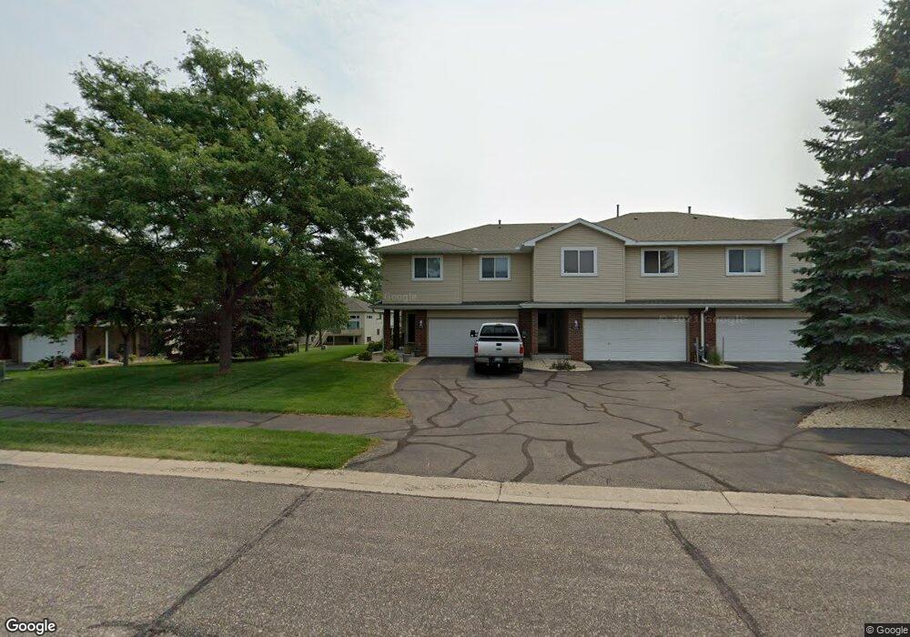
7378 Bond Way Inver Grove Heights, MN 55076
Estimated Value: $303,421 - $416,000
2
Beds
3
Baths
1,132
Sq Ft
$298/Sq Ft
Est. Value
About This Home
This home is located at 7378 Bond Way, Inver Grove Heights, MN 55076 and is currently estimated at $337,105, approximately $297 per square foot. 7378 Bond Way is a home located in Dakota County with nearby schools including Hilltop Elementary School, Inver Grove Heights Middle School, and Simley Senior High School.
Ownership History
Date
Name
Owned For
Owner Type
Purchase Details
Closed on
Aug 8, 2017
Sold by
Jahnke Sheri and Sheri Jahnke Revocable Trust
Bought by
Peper Scott A and Peper Paulette K
Current Estimated Value
Home Financials for this Owner
Home Financials are based on the most recent Mortgage that was taken out on this home.
Original Mortgage
$145,000
Outstanding Balance
$112,263
Interest Rate
3.9%
Mortgage Type
New Conventional
Estimated Equity
$224,842
Purchase Details
Closed on
Jul 10, 1997
Sold by
Wensmann Homes Inc
Bought by
Jahnku Sheri L
Create a Home Valuation Report for This Property
The Home Valuation Report is an in-depth analysis detailing your home's value as well as a comparison with similar homes in the area
Home Values in the Area
Average Home Value in this Area
Purchase History
| Date | Buyer | Sale Price | Title Company |
|---|---|---|---|
| Peper Scott A | $235,000 | Home Title Inc | |
| Jahnku Sheri L | $136,078 | -- |
Source: Public Records
Mortgage History
| Date | Status | Borrower | Loan Amount |
|---|---|---|---|
| Open | Peper Scott A | $145,000 |
Source: Public Records
Tax History Compared to Growth
Tax History
| Year | Tax Paid | Tax Assessment Tax Assessment Total Assessment is a certain percentage of the fair market value that is determined by local assessors to be the total taxable value of land and additions on the property. | Land | Improvement |
|---|---|---|---|---|
| 2024 | $2,934 | $289,300 | $49,000 | $240,300 |
| 2023 | $2,934 | $292,000 | $49,300 | $242,700 |
| 2022 | $2,784 | $295,100 | $49,200 | $245,900 |
| 2021 | $2,766 | $260,300 | $42,800 | $217,500 |
| 2020 | $2,552 | $254,600 | $40,800 | $213,800 |
| 2019 | $2,482 | $236,500 | $38,800 | $197,700 |
| 2018 | $2,189 | $216,800 | $35,900 | $180,900 |
| 2017 | $2,188 | $193,100 | $33,300 | $159,800 |
| 2016 | $2,098 | $190,400 | $31,700 | $158,700 |
| 2015 | $1,948 | $163,429 | $26,809 | $136,620 |
| 2014 | -- | $143,373 | $23,968 | $119,405 |
| 2013 | -- | $135,634 | $21,893 | $113,741 |
Source: Public Records
Map
Nearby Homes
- 2584 76th St E
- 2390 75th St E
- 7636 Borman Way
- 6938 Booth Ave
- Virginia Plan at Eagles Landing
- Cottonwood II Plan at Eagles Landing
- Enclave II Plan at Eagles Landing
- Macalaster Plan at Eagles Landing
- Bismarck Plan at Eagles Landing
- Tennessee Plan at Eagles Landing
- St James Plan at Eagles Landing
- Everleigh Plan at Eagles Landing
- Bellefonte Plan at Eagles Landing
- Marquette Plan at Eagles Landing
- St. Croix Plan at Eagles Landing
- Garrison Plan at Eagles Landing
- Madison Plan at Eagles Landing
- Spruce Plan at Eagles Landing
- Poplar Plan at Eagles Landing
- Rhode Island Plan at Eagles Landing
- 7380 Bond Way
- 7382 Bond Way
- 7374 Bond Way
- 7384 Bond Way
- 7372 Bond Way
- 7370 Bond Way
- 7407 Bolton Way
- 7411 Bolton Way
- 7403 Bolton Way
- 7415 Bolton Way
- 7368 Bond Way
- 7399 Bolton Way
- 7393 Bolton Way
- 7389 Bolton Way
- 7396 Braden Trail
- 7454 Bolton Way
- 7452 Bolton Way
- 7385 Bolton Way
- 7450 Bolton Way
- 7420 Brady Path