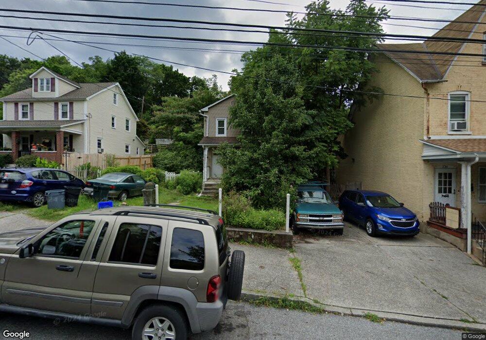
738 Atlantic St Bethlehem, PA 18015
Downtown Bethlehem NeighborhoodEstimated Value: $195,000 - $206,000
4
Beds
1
Bath
1,344
Sq Ft
$149/Sq Ft
Est. Value
About This Home
This home is located at 738 Atlantic St, Bethlehem, PA 18015 and is currently estimated at $200,608, approximately $149 per square foot. 738 Atlantic St is a home located in Northampton County with nearby schools including Donegan Elementary School, Broughal Middle School, and Freedom High School.
Ownership History
Date
Name
Owned For
Owner Type
Purchase Details
Closed on
Mar 30, 2010
Sold by
Hoffman Rodney Eric
Bought by
Hartzell Daryl S
Current Estimated Value
Home Financials for this Owner
Home Financials are based on the most recent Mortgage that was taken out on this home.
Original Mortgage
$91,315
Outstanding Balance
$61,567
Interest Rate
5.25%
Mortgage Type
FHA
Estimated Equity
$139,041
Purchase Details
Closed on
Sep 27, 2002
Bought by
Hoffman Rodney Eric
Create a Home Valuation Report for This Property
The Home Valuation Report is an in-depth analysis detailing your home's value as well as a comparison with similar homes in the area
Home Values in the Area
Average Home Value in this Area
Purchase History
| Date | Buyer | Sale Price | Title Company |
|---|---|---|---|
| Hartzell Daryl S | $93,000 | None Available | |
| Hoffman Rodney Eric | $12,000 | -- |
Source: Public Records
Mortgage History
| Date | Status | Borrower | Loan Amount |
|---|---|---|---|
| Open | Hartzell Daryl S | $91,315 |
Source: Public Records
Tax History Compared to Growth
Tax History
| Year | Tax Paid | Tax Assessment Tax Assessment Total Assessment is a certain percentage of the fair market value that is determined by local assessors to be the total taxable value of land and additions on the property. | Land | Improvement |
|---|---|---|---|---|
| 2025 | $229 | $21,200 | $10,500 | $10,700 |
| 2024 | $1,874 | $21,200 | $10,500 | $10,700 |
| 2023 | $1,874 | $21,200 | $10,500 | $10,700 |
| 2022 | $1,859 | $21,200 | $10,500 | $10,700 |
| 2021 | $1,847 | $21,200 | $10,500 | $10,700 |
| 2020 | $1,829 | $21,200 | $10,500 | $10,700 |
| 2019 | $1,823 | $21,200 | $10,500 | $10,700 |
| 2018 | $1,779 | $21,200 | $10,500 | $10,700 |
| 2017 | $1,757 | $21,200 | $10,500 | $10,700 |
| 2016 | -- | $21,200 | $10,500 | $10,700 |
| 2015 | -- | $21,200 | $10,500 | $10,700 |
| 2014 | -- | $21,200 | $10,500 | $10,700 |
Source: Public Records
Map
Nearby Homes
- 802 Atlantic St
- 818 Atlantic St
- 657 Lamb St
- 639 Buchanan St
- 754 E 5th St
- 819 E 4th St
- 1008 E 3rd St
- 1171 E 4th St
- 4315 Stonebridge Dr
- 4255 Stonebridge Dr
- 4311 Stonebridge Dr
- 1183 Mechanic St
- 0 James St Unit LOTS 756443
- 1330 E 6th St
- 1229 E 3rd St
- 706 William St
- 463 Montclair Ave
- 11 W 2nd St Unit 210
- 15 W 2nd St
- 1521 E 6th St
- 744 Atlantic St
- 734 Atlantic St
- 730 Atlantic St
- 726 Atlantic St
- 824 Atlantic St
- 739 Hillside Ave
- 801 E 8th St
- 722 Atlantic St
- 722 Atlantic St Unit 2
- 722 Atlantic St Unit 1
- 722 Atlantic St Unit 4
- 724 Atlantic St Unit 5
- 737 Hillside Ave
- 803 E 8th St
- 735 Hillside Ave
- 735 Atlantic St
- 805 E 8th St
- 720 Atlantic St
- 731 Atlantic St
- 807 E 8th St