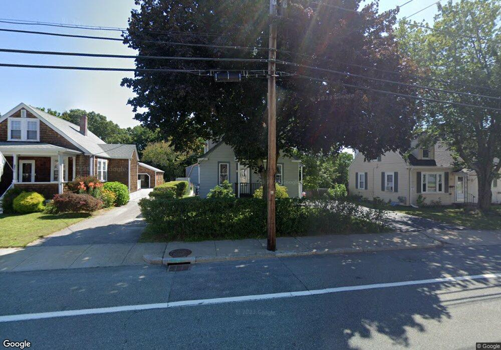
738 Manville Rd Woonsocket, RI 02895
Bernon District NeighborhoodEstimated Value: $345,000 - $396,000
3
Beds
1
Bath
1,176
Sq Ft
$319/Sq Ft
Est. Value
About This Home
This home is located at 738 Manville Rd, Woonsocket, RI 02895 and is currently estimated at $374,682, approximately $318 per square foot. 738 Manville Rd is a home located in Providence County with nearby schools including Woonsocket High School, Rise Prep Mayoral Academy Middle School, and Rise Prep Mayoral Academy.
Ownership History
Date
Name
Owned For
Owner Type
Purchase Details
Closed on
Jul 21, 2010
Sold by
Beaudry Pauline E
Bought by
Beaudry Kenneth and Joachim Kimberly
Current Estimated Value
Purchase Details
Closed on
Feb 9, 1990
Sold by
Beaudry Ronald G
Bought by
Beaudry Pauline
Home Financials for this Owner
Home Financials are based on the most recent Mortgage that was taken out on this home.
Original Mortgage
$75,000
Interest Rate
9.64%
Mortgage Type
Purchase Money Mortgage
Create a Home Valuation Report for This Property
The Home Valuation Report is an in-depth analysis detailing your home's value as well as a comparison with similar homes in the area
Home Values in the Area
Average Home Value in this Area
Purchase History
| Date | Buyer | Sale Price | Title Company |
|---|---|---|---|
| Beaudry Kenneth | -- | -- | |
| Beaudry Kenneth | -- | -- | |
| Beaudry Pauline | $113,500 | -- |
Source: Public Records
Mortgage History
| Date | Status | Borrower | Loan Amount |
|---|---|---|---|
| Previous Owner | Beaudry Pauline | $75,000 | |
| Previous Owner | Beaudry Pauline | $75,000 |
Source: Public Records
Tax History
| Year | Tax Paid | Tax Assessment Tax Assessment Total Assessment is a certain percentage of the fair market value that is determined by local assessors to be the total taxable value of land and additions on the property. | Land | Improvement |
|---|---|---|---|---|
| 2025 | $3,601 | $320,700 | $91,200 | $229,500 |
| 2024 | $3,554 | $244,400 | $92,900 | $151,500 |
| 2023 | $3,417 | $244,400 | $92,900 | $151,500 |
| 2022 | $3,417 | $244,400 | $92,900 | $151,500 |
| 2021 | $3,515 | $148,000 | $38,700 | $109,300 |
| 2020 | $3,552 | $148,000 | $38,700 | $109,300 |
| 2018 | $3,564 | $148,000 | $38,700 | $109,300 |
| 2017 | $3,639 | $120,900 | $41,500 | $79,400 |
| 2016 | $3,849 | $120,900 | $41,500 | $79,400 |
| 2015 | $4,423 | $120,900 | $41,500 | $79,400 |
| 2014 | $4,503 | $125,300 | $45,700 | $79,600 |
Source: Public Records
Map
Nearby Homes
- 414 Rhode Island Ave
- 216 Bertenshaw Rd
- 39 Louise St
- 0 Irving Lot 206 Ave Unit 1397321
- 410 Carrington Ave
- 345 Carrington Ave
- 346 Carrington Ave
- 374 Thibeault Ave
- 219 Crawford St
- 74 Maple St
- 375 Congress St
- 59 Division St
- 190 Crawford St
- 0 Hillview St
- 202 Phillips St
- 526 Bernon St
- 24 Paradis Ave
- 0 Irving Lot 192 Ave Unit 1383138
- 59 Cooper Ave
- 378 Gauthier Dr
- 730 Manville Rd
- 748 Manville Rd
- 720 Manville Rd
- 760 Manville Rd
- 763 Manville Rd
- 753 Manville Rd
- 710 Manville Rd
- 772 Manville Rd
- 773 Manville Rd
- 783 Manville Rd
- 737 Manville Rd
- 700 Manville Rd
- 723 Manville Rd
- 786 Manville Rd
- 793 Manville Rd
- 34 Saint Marcel St
- 26 Saint Marcel St
- 805 Manville Rd
- 126 Hughes St
- 717 Manville Rd
Your Personal Tour Guide
Ask me questions while you tour the home.