738 McSorley St Red Wing, MN 55066
Estimated Value: $217,000 - $289,000
3
Beds
3
Baths
1,600
Sq Ft
$162/Sq Ft
Est. Value
About This Home
This home is located at 738 McSorley St, Red Wing, MN 55066 and is currently estimated at $259,589, approximately $162 per square foot. 738 McSorley St is a home located in Goodhue County with nearby schools including Sunnyside Elementary School, Burnside Elementary School, and Twin Bluff Middle School.
Ownership History
Date
Name
Owned For
Owner Type
Purchase Details
Closed on
Jul 26, 2017
Sold by
Fox Julian A and Moore Brittany M
Bought by
Crawford Joseph
Current Estimated Value
Purchase Details
Closed on
Jul 21, 2017
Sold by
Williams Vernita and Williams Gregory
Bought by
Fox Julian A
Purchase Details
Closed on
Oct 5, 2011
Sold by
Tsui Kent and Tsui Megan
Bought by
Fox Julian and Moore Brittany
Create a Home Valuation Report for This Property
The Home Valuation Report is an in-depth analysis detailing your home's value as well as a comparison with similar homes in the area
Home Values in the Area
Average Home Value in this Area
Purchase History
| Date | Buyer | Sale Price | Title Company |
|---|---|---|---|
| Crawford Joseph | $160,000 | None Available | |
| Fox Julian A | -- | None Available | |
| Fox Julian | $123,000 | -- |
Source: Public Records
Tax History Compared to Growth
Tax History
| Year | Tax Paid | Tax Assessment Tax Assessment Total Assessment is a certain percentage of the fair market value that is determined by local assessors to be the total taxable value of land and additions on the property. | Land | Improvement |
|---|---|---|---|---|
| 2025 | $3,222 | $212,000 | $28,300 | $183,700 |
| 2024 | $3,222 | $208,400 | $28,300 | $180,100 |
| 2023 | $1,623 | $195,200 | $28,300 | $166,900 |
| 2022 | $2,984 | $193,900 | $28,300 | $165,600 |
| 2021 | $3,078 | $164,600 | $28,300 | $136,300 |
| 2020 | $1,880 | $155,400 | $28,300 | $127,100 |
| 2019 | $1,864 | $139,000 | $28,300 | $110,700 |
| 2018 | $1,264 | $139,500 | $25,800 | $113,700 |
| 2017 | $1,220 | $109,900 | $25,800 | $84,100 |
| 2016 | $1,120 | $108,100 | $25,800 | $82,300 |
| 2015 | $1,064 | $105,100 | $25,800 | $79,300 |
| 2014 | -- | $100,700 | $25,800 | $74,900 |
Source: Public Records
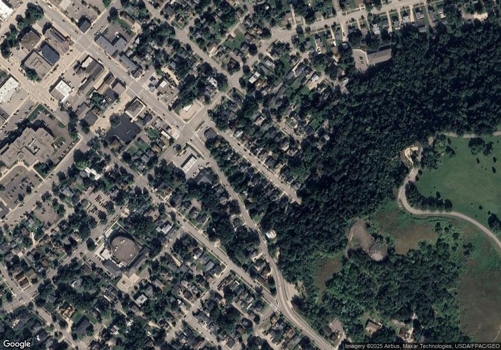
Map
Nearby Homes
- 448 9th St
- 1024 S Park St
- 611 East Ave
- 511 W 7th St
- 534 9th St
- 1109 East Ave
- 716 Central Ave
- XXXX Skyline Heights
- 222 Bush St Unit 404
- 222 Bush St Unit 402
- 222 Bush St Unit 401
- 222 Bush St Unit 304
- 222 Bush St Unit 303
- 222 Bush St Unit 302
- 222 Bush St Unit 301
- 1405 S Park St
- 1218 East Ave
- 405 Main St Unit 305
- 1547 Bush St
- 516 Norwood St