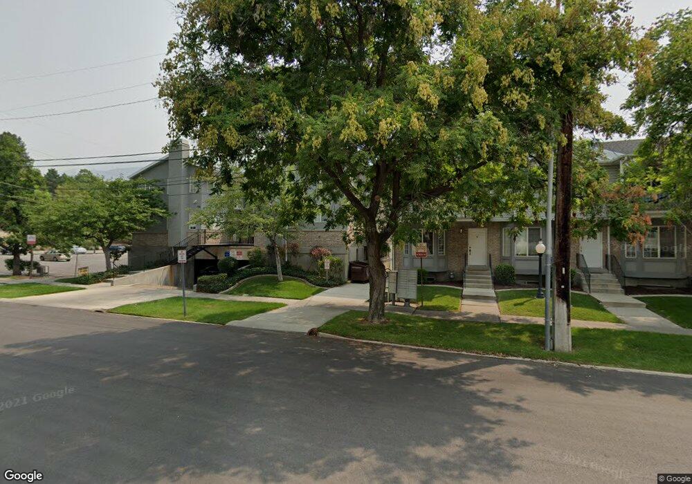
738 N 200 E Provo, UT 84606
Joaquin NeighborhoodEstimated Value: $428,000 - $477,000
4
Beds
2
Baths
1,101
Sq Ft
$414/Sq Ft
Est. Value
About This Home
This home is located at 738 N 200 E, Provo, UT 84606 and is currently estimated at $455,681, approximately $413 per square foot. 738 N 200 E is a home located in Utah County with nearby schools including Provo Peaks School, Centennial Middle School, and Timpview High School.
Ownership History
Date
Name
Owned For
Owner Type
Purchase Details
Closed on
Feb 6, 2026
Sold by
Campus View 2 Llc
Bought by
Cardiac Ridge Partners Llc
Current Estimated Value
Purchase Details
Closed on
Jun 14, 2021
Sold by
Gibson Douglas
Bought by
Campus View 2 Llc
Purchase Details
Closed on
Nov 13, 2017
Sold by
King Tut Llc A Utah
Bought by
Tuttle Markham D and Tuttle Melissa C
Purchase Details
Closed on
Nov 9, 2017
Sold by
Tuttle Marklham D and Tuttle Melissa C
Bought by
Campus View 2 Llc A Michigan Limited
Purchase Details
Closed on
Dec 8, 2011
Sold by
Bennett Jerald W and Bennett Janice Bennett
Bought by
King Tut Llc
Purchase Details
Closed on
Mar 8, 2001
Sold by
Bennett J W J and Bennett Janice
Bought by
Bennett Jerald W and Bennett Janice Bennett
Create a Home Valuation Report for This Property
The Home Valuation Report is an in-depth analysis detailing your home's value as well as a comparison with similar homes in the area
Home Values in the Area
Average Home Value in this Area
Purchase History
| Date | Buyer | Sale Price | Title Company |
|---|---|---|---|
| Cardiac Ridge Partners Llc | -- | Metro National Title | |
| Campus View 2 Llc | -- | Accommodation | |
| Tuttle Markham D | -- | Us Title Insurance Agency | |
| Campus View 2 Llc A Michigan Limited | -- | Us Title Ins Agency | |
| King Tut Llc | -- | None Available | |
| Bennett Jerald W | -- | -- |
Source: Public Records
Tax History
| Year | Tax Paid | Tax Assessment Tax Assessment Total Assessment is a certain percentage of the fair market value that is determined by local assessors to be the total taxable value of land and additions on the property. | Land | Improvement |
|---|---|---|---|---|
| 2025 | $2,225 | $227,700 | -- | -- |
| 2024 | $2,225 | $219,010 | $0 | $0 |
| 2023 | $1,981 | $192,225 | $0 | $0 |
| 2022 | $2,266 | $221,760 | $0 | $0 |
| 2021 | $1,906 | $325,200 | $39,000 | $286,200 |
| 2020 | $1,880 | $300,700 | $36,100 | $264,600 |
| 2019 | $1,635 | $272,100 | $31,000 | $241,100 |
| 2018 | $1,493 | $251,900 | $31,000 | $220,900 |
| 2017 | $1,299 | $120,450 | $0 | $0 |
| 2016 | -- | $111,540 | $0 | $0 |
| 2015 | $1,228 | $107,250 | $0 | $0 |
| 2014 | $1,101 | $100,265 | $0 | $0 |
Source: Public Records
Map
Nearby Homes
- 948 N 50 E Unit 301
- 639 N University Ave Unit 10
- 36 W 700 N Unit 206
- 466 N 200 E
- 433 N 300 E
- 620 N 100 St W
- 232 E 400 N
- 136 E 400 N Unit 108
- 136 E 400 N Unit 107
- 380 N 200 E
- 394 N 300 E
- 541 E 500 N Unit 12
- 232 E 300 N
- 386 N 500 E
- 364 N 500 E
- 246 N 200 E
- 737 E 750 N Unit 1
- 735 E 620 N
- 261 N 400 E Unit 301
- 194 N 100 E
Your Personal Tour Guide
Ask me questions while you tour the home.