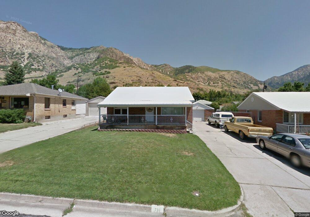
738 Robins Ave Ogden, UT 84404
Horace Mann NeighborhoodEstimated Value: $347,105 - $406,000
3
Beds
1
Bath
864
Sq Ft
$444/Sq Ft
Est. Value
About This Home
This home is located at 738 Robins Ave, Ogden, UT 84404 and is currently estimated at $383,276, approximately $443 per square foot. 738 Robins Ave is a home located in Weber County with nearby schools including Mound Fort Junior High School and Ben Lomond High School.
Ownership History
Date
Name
Owned For
Owner Type
Purchase Details
Closed on
Feb 1, 2008
Sold by
Houx Kathy L and Adams Caroll R
Bought by
Adams Caroll Robert
Current Estimated Value
Home Financials for this Owner
Home Financials are based on the most recent Mortgage that was taken out on this home.
Original Mortgage
$71,800
Interest Rate
6.17%
Mortgage Type
New Conventional
Purchase Details
Closed on
Oct 22, 2003
Sold by
Adams Orion James and Adams Foleca
Bought by
Adams Orion James and Adams Foleca
Create a Home Valuation Report for This Property
The Home Valuation Report is an in-depth analysis detailing your home's value as well as a comparison with similar homes in the area
Home Values in the Area
Average Home Value in this Area
Purchase History
| Date | Buyer | Sale Price | Title Company |
|---|---|---|---|
| Adams Caroll Robert | -- | Hickman Land Title Company | |
| Adams Orion James | -- | -- |
Source: Public Records
Mortgage History
| Date | Status | Borrower | Loan Amount |
|---|---|---|---|
| Closed | Adams Caroll Robert | $71,800 |
Source: Public Records
Tax History
| Year | Tax Paid | Tax Assessment Tax Assessment Total Assessment is a certain percentage of the fair market value that is determined by local assessors to be the total taxable value of land and additions on the property. | Land | Improvement |
|---|---|---|---|---|
| 2025 | $2,743 | $366,141 | $125,000 | $241,141 |
| 2024 | $2,700 | $357,999 | $125,013 | $232,986 |
| 2023 | $2,568 | $344,000 | $109,850 | $234,150 |
| 2022 | $2,608 | $353,000 | $95,003 | $257,997 |
| 2021 | $2,195 | $268,000 | $60,023 | $207,977 |
| 2020 | $2,122 | $239,000 | $44,978 | $194,022 |
| 2019 | $2,022 | $213,000 | $40,055 | $172,945 |
| 2018 | $1,699 | $174,999 | $35,065 | $139,934 |
| 2017 | $1,478 | $140,000 | $32,052 | $107,948 |
| 2016 | $1,379 | $70,250 | $17,391 | $52,859 |
| 2015 | $1,253 | $62,389 | $17,391 | $44,998 |
| 2014 | $1,151 | $55,976 | $15,241 | $40,735 |
Source: Public Records
Map
Nearby Homes
- 1565 E 775 S Unit 7
- 1565 E 775 S Unit 16
- 915 Hislop Dr
- 1568 Hudson St Unit 1
- 994 Mountain Rd
- 572 S Elena Ln
- 1385 Hiland Rd
- 1582 E Maddies Cove Unit 19
- 3270 N 3325 W Unit 386B
- 1243 Hudson St
- 1274 5th St
- 1453 Lewis Dr
- 1108 5th St
- 322 Harrison Blvd
- 1062 Hudson St
- 580 Marco Ln
- 1042 Douglas St
- 1175 Canyon Rd Unit A21
- 1175 Canyon Rd Unit 77
- 1346 Millcreek Dr Unit 6
- 730 Robins Ave
- 744 Robins Ave
- 722 Robins Ave
- 752 Robins Ave
- 775 Taylor Ave
- 767 Taylor Ave
- 783 Taylor Ave
- 803 Taylor Ave
- 759 Taylor Ave
- 735 Robins Ave
- 743 Robins Ave
- 718 Robins Ave
- 760 Robins Ave
- 751 Robins Ave
- 751 Taylor Ave
- 721 Robins Ave
- 809 Taylor Ave
- 759 Robins Ave
- 714 Robins Ave
- 714 Robins Ave Unit 1400
Your Personal Tour Guide
Ask me questions while you tour the home.