Estimated Value: $284,000 - $320,000
--
Bed
--
Bath
--
Sq Ft
2.3
Acres
About This Home
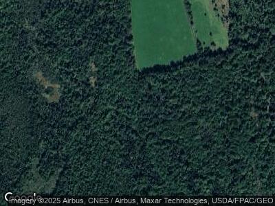
This home is located at 738 Route 219, Leeds, ME 04263 and is currently estimated at $300,123. 738 Route 219 is a home with nearby schools including Tripp Middle School and Leavitt Area High School.
Create a Home Valuation Report for This Property
The Home Valuation Report is an in-depth analysis detailing your home's value as well as a comparison with similar homes in the area
Home Values in the Area
Average Home Value in this Area
Mortgage History
| Date | Status | Borrower | Loan Amount |
|---|---|---|---|
| Closed | True Larry E | $89,500 |
Source: Public Records
Tax History Compared to Growth
Tax History
| Year | Tax Paid | Tax Assessment Tax Assessment Total Assessment is a certain percentage of the fair market value that is determined by local assessors to be the total taxable value of land and additions on the property. | Land | Improvement |
|---|---|---|---|---|
| 2024 | $2,894 | $234,300 | $65,200 | $169,100 |
| 2023 | $2,823 | $234,300 | $65,200 | $169,100 |
| 2022 | $2,381 | $128,700 | $37,100 | $91,600 |
| 2021 | $2,381 | $128,700 | $37,100 | $91,600 |
| 2020 | $2,449 | $128,700 | $37,100 | $91,600 |
| 2019 | $2,355 | $128,700 | $37,100 | $91,600 |
| 2018 | $2,291 | $128,700 | $37,100 | $91,600 |
| 2017 | $2,291 | $128,700 | $37,100 | $91,600 |
| 2016 | $2,194 | $128,700 | $37,100 | $91,600 |
| 2015 | $2,104 | $128,700 | $37,100 | $91,600 |
| 2014 | $2,033 | $128,700 | $37,100 | $91,600 |
| 2013 | $2,033 | $128,700 | $37,100 | $91,600 |
Source: Public Records
Map
Nearby Homes
- 41 Fish St
- Lot B River Rd
- 10 Mountain View Rd
- 102 Mountain View Rd
- 306 Campbell Rd
- 260 Knapp Rd
- Lot A River Rd
- 875 N Parish Rd
- 74 Turkey Ln
- 58-1 North Rd
- 012 Strickland Ferry Rd
- Lot16 Torrey Hill Rd
- 52 Wyatts Way
- Lot 1 Wyatts Way
- Lot 45-8 Wyatt's Way
- 156 Lakeshore Dr
- 324 Pleasant Pond Rd
- 8 Moore Ln
- 12 Moore Ln
- 454 N Parish Rd
