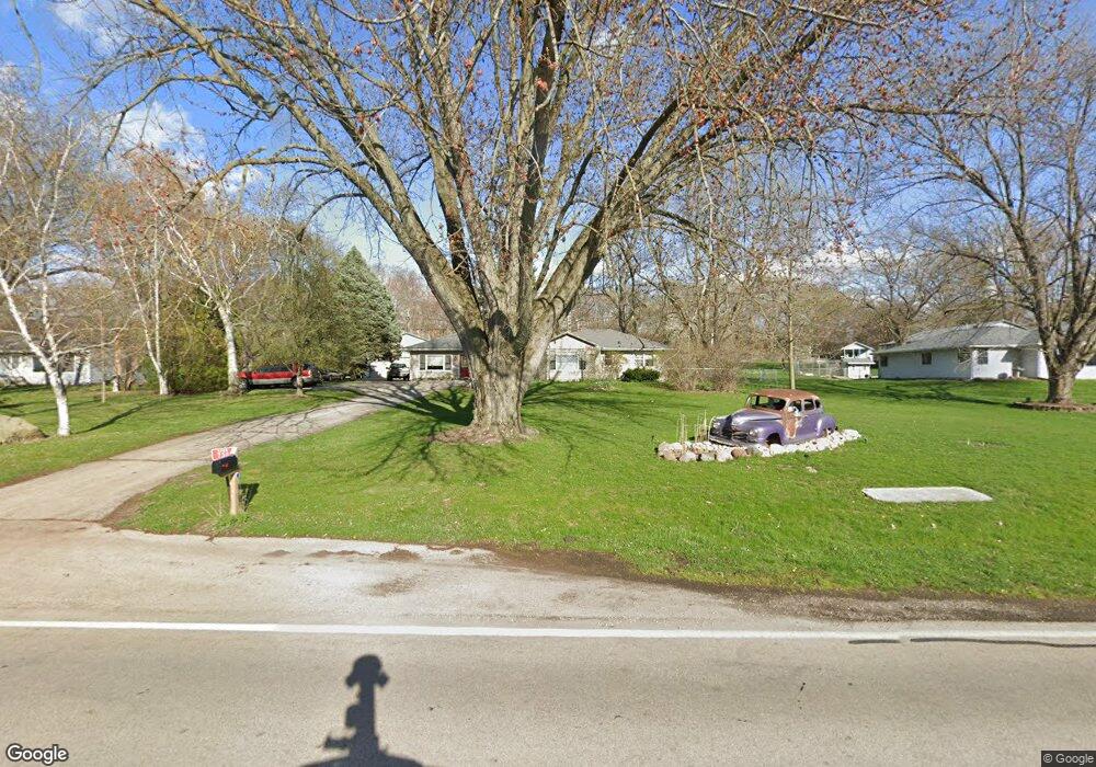
738 State Route 25 Oswego, IL 60543
Boulder Hill NeighborhoodEstimated Value: $385,000 - $406,000
3
Beds
2
Baths
1,947
Sq Ft
$203/Sq Ft
Est. Value
About This Home
This home is located at 738 State Route 25, Oswego, IL 60543 and is currently estimated at $394,460, approximately $202 per square foot. 738 State Route 25 is a home located in Kendall County with nearby schools including Boulder Hill Elementary School, Thompson Jr. High School, and Oswego High School.
Ownership History
Date
Name
Owned For
Owner Type
Purchase Details
Closed on
Dec 13, 1999
Sold by
Onash Thomas W and Onash Hope M
Bought by
Biltgen Shawn D and Biltgen Rojean L
Current Estimated Value
Purchase Details
Closed on
Sep 10, 1999
Sold by
Biltgen Jerome L and Biltgen Renard L
Bought by
Biltgen Shawn D and Biltgen Rojean L
Home Financials for this Owner
Home Financials are based on the most recent Mortgage that was taken out on this home.
Original Mortgage
$100,000
Interest Rate
7.59%
Purchase Details
Closed on
Aug 20, 1999
Sold by
Biltgen Jerome L and Biltgen Renard L
Bought by
Biltgen Shawn D and Biltgen Rojean L
Home Financials for this Owner
Home Financials are based on the most recent Mortgage that was taken out on this home.
Original Mortgage
$100,000
Interest Rate
7.59%
Create a Home Valuation Report for This Property
The Home Valuation Report is an in-depth analysis detailing your home's value as well as a comparison with similar homes in the area
Home Values in the Area
Average Home Value in this Area
Purchase History
| Date | Buyer | Sale Price | Title Company |
|---|---|---|---|
| Biltgen Shawn D | -- | Chicago Title Insurance Co | |
| Biltgen Shawn D | -- | -- | |
| Biltgen Shawn D | $120,000 | Chicago Title Insurance Co |
Source: Public Records
Mortgage History
| Date | Status | Borrower | Loan Amount |
|---|---|---|---|
| Previous Owner | Biltgen Shawn D | $100,000 |
Source: Public Records
Tax History Compared to Growth
Tax History
| Year | Tax Paid | Tax Assessment Tax Assessment Total Assessment is a certain percentage of the fair market value that is determined by local assessors to be the total taxable value of land and additions on the property. | Land | Improvement |
|---|---|---|---|---|
| 2024 | $8,691 | $115,791 | $19,484 | $96,307 |
| 2023 | $7,826 | $100,688 | $16,943 | $83,745 |
| 2022 | $7,826 | $94,101 | $15,835 | $78,266 |
| 2021 | $7,544 | $87,945 | $14,799 | $73,146 |
| 2020 | $7,381 | $85,384 | $14,368 | $71,016 |
| 2019 | $7,090 | $81,050 | $14,368 | $66,682 |
| 2018 | $7,281 | $80,599 | $14,288 | $66,311 |
| 2017 | $7,220 | $77,499 | $13,738 | $63,761 |
| 2016 | $6,912 | $73,459 | $13,022 | $60,437 |
| 2015 | $6,737 | $68,653 | $12,170 | $56,483 |
| 2014 | -- | $66,013 | $11,702 | $54,311 |
| 2013 | -- | $66,680 | $11,820 | $54,860 |
Source: Public Records
Map
Nearby Homes
- 117 Boulder Hill Pass Unit 117
- Parcel 004 & 003 Illinois 25
- 8 Clay Ct
- 5.43 B-3 Commercial State Route 31
- 29 Briarcliff Rd
- 11-13 W Anchor Rd
- 36 Circle Dr E
- 23 Old Post Rd
- 7.43 Acres Vacant La State Route 31
- 17 Knollwood Dr Unit 3
- 172 Boulder Hill Pass
- 22 Marnel Rd
- 2400 Light Rd Unit 212
- 2700 Light Rd Unit 205
- 15 Crescent Ct
- 4 Crestwood Ct
- 2100 Light Rd Unit 109
- 3 Ridgefield Rd
- 54 Sierra Rd
- 4 Circle Ct
- 734 State Route 25
- 806 State Route 25
- 842 State Route 25
- 726 State Route 25
- 81 Garden Dr
- 71 Garden Dr
- 67 Garden Dr
- 79 Garden Dr
- 77 Garden Dr
- 75 Garden Dr
- 73 Garden Dr
- 65 Garden Dr
- 67 Garden Dr Unit 67
- 69 Garden Dr
- 63 Garden Dr
- 940 State Route 25
- 101 Garden Dr
- 61 Garden Dr
- 103 Garden Dr
- 716 State Route 25