7380 Port Wing Line Rd Port Wing, WI 54865
Estimated Value: $366,000 - $385,332
--
Bed
--
Bath
--
Sq Ft
40
Acres
About This Home
This home is located at 7380 Port Wing Line Rd, Port Wing, WI 54865 and is currently estimated at $372,777. 7380 Port Wing Line Rd is a home located in Bayfield County with nearby schools including South Shore Elementary School and South Shore Junior/Senior High School.
Ownership History
Date
Name
Owned For
Owner Type
Purchase Details
Closed on
Jun 4, 2018
Sold by
Harrison Clinton B
Bought by
Kavajecz Scott G and Kavajecz Amanda J
Current Estimated Value
Home Financials for this Owner
Home Financials are based on the most recent Mortgage that was taken out on this home.
Original Mortgage
$148,000
Outstanding Balance
$88,755
Interest Rate
4.5%
Mortgage Type
New Conventional
Estimated Equity
$284,022
Create a Home Valuation Report for This Property
The Home Valuation Report is an in-depth analysis detailing your home's value as well as a comparison with similar homes in the area
Home Values in the Area
Average Home Value in this Area
Purchase History
| Date | Buyer | Sale Price | Title Company |
|---|---|---|---|
| Kavajecz Scott G | $185,100 | Choice Title |
Source: Public Records
Mortgage History
| Date | Status | Borrower | Loan Amount |
|---|---|---|---|
| Open | Kavajecz Scott G | $148,000 |
Source: Public Records
Tax History Compared to Growth
Tax History
| Year | Tax Paid | Tax Assessment Tax Assessment Total Assessment is a certain percentage of the fair market value that is determined by local assessors to be the total taxable value of land and additions on the property. | Land | Improvement |
|---|---|---|---|---|
| 2024 | $3,509 | $171,400 | $42,900 | $128,500 |
| 2023 | $2,841 | $171,400 | $42,900 | $128,500 |
| 2022 | $2,373 | $171,400 | $42,900 | $128,500 |
| 2021 | $2,382 | $171,400 | $42,900 | $128,500 |
| 2020 | $2,111 | $121,500 | $44,900 | $76,600 |
| 2019 | $2,134 | $121,500 | $44,900 | $76,600 |
| 2018 | $2,077 | $121,500 | $44,900 | $76,600 |
| 2017 | $2,043 | $121,500 | $44,900 | $76,600 |
| 2016 | $2,150 | $121,500 | $44,900 | $76,600 |
| 2015 | $2,032 | $121,500 | $44,900 | $76,600 |
| 2013 | $1,998 | $127,000 | $50,400 | $76,600 |
Source: Public Records
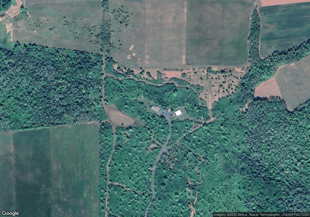
Map
Nearby Homes
- 772XX Lois Ln
- 79170 Severson Rd
- 54XX Old Hwy 13
- 6.03 Acres E Orienta Falls Rd
- 5295 Goetsch Rd
- 74845 Airport Rd
- 828XX White Birch Rd
- 11 Acres on State Highway 13
- 1xxxx State Highway 13
- 36.6 acres on Okerstrom Rd
- Lots 13-18 Okerstrom Rd
- Lots 13-18, Block 14 Okerstrom St
- 36.6 acres off Okerstrom St
- Lots 19-24, Block 14 Helsing Rd
- Lots 19-24 Helsing Rd
- 83360 Washington Ave
- 8920 School Rd
- xxx Hautala Rd
- 79900 Tarpaper Alley
- 74035 County Highway A
- 7590 Port Wing Line Rd
- 79490 Evergreen Rd
- 0 Evergreen Rd Unit 3868198
- 0 Evergreen Rd Unit 22272640
- 0 Evergreen Rd Unit 6117733
- 0 Evergreen Rd Unit 378254
- 0 Evergreen Rd Unit 822801
- 0 Evergreen Rd
- 79025 S Fay Rd
- 79085 S Fay Rd
- 79365 Evergreen Rd
- 79095 S Fay Rd
- xxxx Froney Rd
- 0 S Fay Rd
- 78160 Evergreen Rd
- XXXX Port Wing Line Rd
- 79940 Evergreen Rd
- 0 Froney Rd
- - Froney Rd
- 78195 Evergreen Rd