Estimated Value: $637,236 - $731,000
5
Beds
5
Baths
3,048
Sq Ft
$225/Sq Ft
Est. Value
About This Home
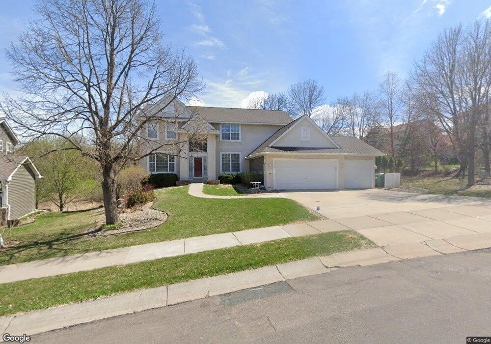
This home is located at 7382 Shenandoah Ln N, Osseo, MN 55311 and is currently estimated at $687,309, approximately $225 per square foot. 7382 Shenandoah Ln N is a home located in Hennepin County with nearby schools including Basswood Elementary School, Maple Grove Middle School, and Maple Grove Senior High School.
Ownership History
Date
Name
Owned For
Owner Type
Purchase Details
Closed on
Jul 24, 2015
Sold by
Whitmore Bruce C and Whitmore Lori
Bought by
Whitmore Bruce C and Whitmore Lori
Current Estimated Value
Home Financials for this Owner
Home Financials are based on the most recent Mortgage that was taken out on this home.
Original Mortgage
$410,100
Outstanding Balance
$322,210
Interest Rate
4.08%
Mortgage Type
VA
Estimated Equity
$365,099
Purchase Details
Closed on
Jul 17, 1998
Sold by
Lundgren Bros Construction Inc
Bought by
Whitmore Rosanne K and Whitmore Bruce C
Purchase Details
Closed on
Mar 20, 1998
Sold by
Bf Holding Company
Bought by
Lundgren Bros Construction Inc
Create a Home Valuation Report for This Property
The Home Valuation Report is an in-depth analysis detailing your home's value as well as a comparison with similar homes in the area
Home Values in the Area
Average Home Value in this Area
Purchase History
| Date | Buyer | Sale Price | Title Company |
|---|---|---|---|
| Whitmore Bruce C | -- | Stewart Title Company | |
| Whitmore Rosanne K | $282,833 | -- | |
| Lundgren Bros Construction Inc | $53,000 | -- |
Source: Public Records
Mortgage History
| Date | Status | Borrower | Loan Amount |
|---|---|---|---|
| Open | Whitmore Bruce C | $410,100 |
Source: Public Records
Tax History Compared to Growth
Tax History
| Year | Tax Paid | Tax Assessment Tax Assessment Total Assessment is a certain percentage of the fair market value that is determined by local assessors to be the total taxable value of land and additions on the property. | Land | Improvement |
|---|---|---|---|---|
| 2024 | $7,999 | $631,400 | $149,400 | $482,000 |
| 2023 | $7,720 | $632,300 | $149,400 | $482,900 |
| 2022 | $6,181 | $604,000 | $108,200 | $495,800 |
| 2021 | $6,012 | $507,700 | $94,300 | $413,400 |
| 2020 | $6,077 | $487,100 | $84,300 | $402,800 |
| 2019 | $6,024 | $467,500 | $68,200 | $399,300 |
| 2018 | $5,809 | $437,400 | $53,100 | $384,300 |
| 2017 | $6,061 | $413,800 | $71,000 | $342,800 |
| 2016 | $6,128 | $412,600 | $81,000 | $331,600 |
| 2015 | $6,150 | $403,400 | $93,000 | $310,400 |
| 2014 | -- | $375,800 | $92,000 | $283,800 |
Source: Public Records
Map
Nearby Homes
- 15770 73rd Place N
- 7261 Quantico Ln N
- 7244 Quantico Ln N
- 7585 Lanewood Ln N
- 7094 Weston Ln N
- 7082 Weston Ln N
- 7099 Weston Ln N
- 7453 Mariner Dr
- 16236 70th Place N
- 7720 Niagara Ln N
- 16314 70th Ave N
- 16322 70th Ave N Unit 204
- 7870 Ranchview Ln N
- 6848 Polaris Ln N
- 15097 67th Place N
- 7071 Empire Ln N
- 7788 Everest Ct N
- 14714 80th Ave N
- 16888 78th Ave N
- 17225 72nd Ave N Unit 2001
- 7404 Shenandoah Ln N
- 15600 73rd Place N
- 15558 73rd Place N
- 7412 Shenandoah Ln N
- 7389 Shenandoah Ln N
- 7377 Shenandoah Ln N
- 15526 73rd Place N
- 7355 Shenandoah Ln N
- 7411 Shenandoah Ln N
- 7420 Shenandoah Ln N
- 7367 W Fish Lake Rd
- 7375 W Fish Lake Rd
- 15613 73rd Place N
- 15581 73rd Place N
- 7428 Shenandoah Ln N
- 15645 73rd Cir N
- 15547 73rd Place N
- 7383 W Fish Lake Rd
- 15525 73rd Place N
- 15706 73rd Place N