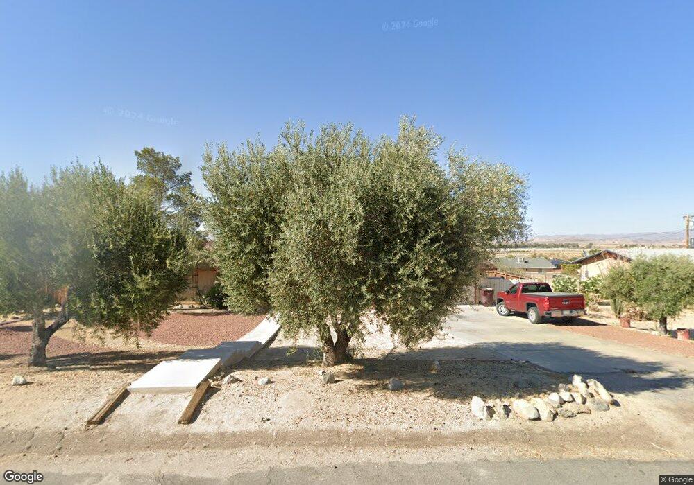
73838 White Sands Dr Twentynine Palms, CA 92277
Estimated Value: $365,180 - $384,000
3
Beds
2
Baths
2,040
Sq Ft
$183/Sq Ft
Est. Value
About This Home
This home is located at 73838 White Sands Dr, Twentynine Palms, CA 92277 and is currently estimated at $374,295, approximately $183 per square foot. 73838 White Sands Dr is a home located in San Bernardino County with nearby schools including Twentynine Palms Elementary School, Twentynine Palms Junior High School, and Twentynine Palms High School.
Ownership History
Date
Name
Owned For
Owner Type
Purchase Details
Closed on
Feb 16, 2023
Sold by
Stump Robert G
Bought by
Stump Robert G and Stump Kritsana
Current Estimated Value
Purchase Details
Closed on
Feb 12, 1997
Sold by
Wright Emily F
Bought by
Stump Robert G and Stump Terry W
Purchase Details
Closed on
May 15, 1996
Sold by
Va
Bought by
Stump Robert G
Home Financials for this Owner
Home Financials are based on the most recent Mortgage that was taken out on this home.
Original Mortgage
$25,200
Interest Rate
8.07%
Mortgage Type
Seller Take Back
Purchase Details
Closed on
May 14, 1996
Sold by
Stump Terry
Bought by
Stump Robert G
Home Financials for this Owner
Home Financials are based on the most recent Mortgage that was taken out on this home.
Original Mortgage
$25,200
Interest Rate
8.07%
Mortgage Type
Seller Take Back
Create a Home Valuation Report for This Property
The Home Valuation Report is an in-depth analysis detailing your home's value as well as a comparison with similar homes in the area
Home Values in the Area
Average Home Value in this Area
Purchase History
| Date | Buyer | Sale Price | Title Company |
|---|---|---|---|
| Stump Robert G | -- | None Listed On Document | |
| Stump Robert G | $29,500 | First American Title Ins Co | |
| Stump Robert G | $28,000 | First American Title Ins Co | |
| Stump Robert G | -- | First American Title Ins Co |
Source: Public Records
Mortgage History
| Date | Status | Borrower | Loan Amount |
|---|---|---|---|
| Previous Owner | Stump Robert G | $25,200 |
Source: Public Records
Tax History Compared to Growth
Tax History
| Year | Tax Paid | Tax Assessment Tax Assessment Total Assessment is a certain percentage of the fair market value that is determined by local assessors to be the total taxable value of land and additions on the property. | Land | Improvement |
|---|---|---|---|---|
| 2025 | $2,297 | $178,830 | $18,144 | $160,686 |
| 2024 | $2,297 | $175,323 | $17,788 | $157,535 |
| 2023 | $2,219 | $171,885 | $17,439 | $154,446 |
| 2022 | $2,168 | $168,515 | $17,097 | $151,418 |
| 2021 | $2,141 | $165,211 | $16,762 | $148,449 |
| 2020 | $2,119 | $163,517 | $16,590 | $146,927 |
| 2019 | $2,063 | $160,311 | $16,265 | $144,046 |
| 2018 | $2,013 | $157,168 | $15,946 | $141,222 |
| 2017 | $1,987 | $154,086 | $15,633 | $138,453 |
| 2016 | $1,950 | $151,064 | $15,326 | $135,738 |
| 2015 | $1,842 | $148,795 | $15,096 | $133,699 |
| 2014 | $1,829 | $145,880 | $14,800 | $131,080 |
Source: Public Records
Map
Nearby Homes
- 73843 White Sands Dr
- 73853 Playa Vista Dr
- 73940 Desert Dunes Dr
- 73883 Playa Vista Dr
- 0 Samarkand Dr Unit 219118977DA
- 73736 Homestead Dr
- 0 Ocotillo Ave Unit 24-466483
- 4973 Adobe Rd
- 0 Palo Verde Ave Unit 25560053
- 73752 Crestview Dr
- 5172 Verenda Ave
- 5770 Adobe Rd
- 73369 Corbin Rd
- 5154 Split Rock Ave
- 73456 Friendy Ave
- 73730 Amboy Rd
- 73562 Desert Trail Dr
- 109 Aztec Ave
- 73514 Desert Trail Dr
- 73459 2 Mile Rd
- 1 Thompson
- 1 Nordyke
- 73824 White Sands Dr
- 73842 White Sands Dr
- 73833 Desert Dunes Dr
- 73893 Desert Dunes Dr
- 73818 White Sands Dr
- 73833 White Sands Dr
- 73817 Desert Dunes Dr
- 0 Desert Dunes Dr Unit OC15091825
- 73817 White Sands Dr
- 73921 Desert Dunes Dr
- 73855 White Sands Dr
- 18 White Sands Dr
- 203 White Sands Dr
- 4366 White Sands Dr
- 77130 White Sands Dr
- 73790 White Sands Dr
- 73834 Playa Vista Dr
- 73884 Desert Dunes Dr