7386 Mcrae Hwy Helena, GA 31037
Estimated Value: $110,000 - $217,000
2
Beds
1
Bath
1,159
Sq Ft
$133/Sq Ft
Est. Value
About This Home
This home is located at 7386 Mcrae Hwy, Helena, GA 31037 and is currently estimated at $154,033, approximately $132 per square foot. 7386 Mcrae Hwy is a home located in Dodge County with nearby schools including Dodge County High School.
Ownership History
Date
Name
Owned For
Owner Type
Purchase Details
Closed on
Dec 12, 2019
Sold by
Jones John Paul
Bought by
Corcoran Janet Erin
Current Estimated Value
Purchase Details
Closed on
Aug 15, 2019
Sold by
Boone Kevin
Bought by
Jones John Paul
Purchase Details
Closed on
May 16, 2019
Sold by
Kitchen Laverne
Bought by
Boone Kevin
Purchase Details
Closed on
May 25, 2016
Sold by
White Jimmy D
Bought by
White Carrell E
Purchase Details
Closed on
Apr 12, 2006
Sold by
White Eschol G
Bought by
Kitchens Laverne W and Dial Cathy Ann
Create a Home Valuation Report for This Property
The Home Valuation Report is an in-depth analysis detailing your home's value as well as a comparison with similar homes in the area
Home Values in the Area
Average Home Value in this Area
Purchase History
| Date | Buyer | Sale Price | Title Company |
|---|---|---|---|
| Corcoran Janet Erin | $119,000 | -- | |
| Jones John Paul | $63,000 | -- | |
| Boone Kevin | $63,800 | -- | |
| White Carrell E | -- | -- | |
| White Carrell E | -- | -- | |
| Kitchens Laverne W | -- | -- |
Source: Public Records
Tax History Compared to Growth
Tax History
| Year | Tax Paid | Tax Assessment Tax Assessment Total Assessment is a certain percentage of the fair market value that is determined by local assessors to be the total taxable value of land and additions on the property. | Land | Improvement |
|---|---|---|---|---|
| 2024 | $971 | $37,343 | $18,572 | $18,771 |
| 2023 | $971 | $37,343 | $18,572 | $18,771 |
| 2022 | $759 | $29,496 | $12,189 | $17,307 |
| 2021 | $747 | $28,911 | $12,189 | $16,722 |
| 2020 | $661 | $26,879 | $10,157 | $16,722 |
| 2019 | $577 | $28,922 | $11,176 | $17,746 |
| 2018 | $553 | $21,647 | $11,176 | $10,471 |
| 2017 | $610 | $23,882 | $13,411 | $10,471 |
Source: Public Records
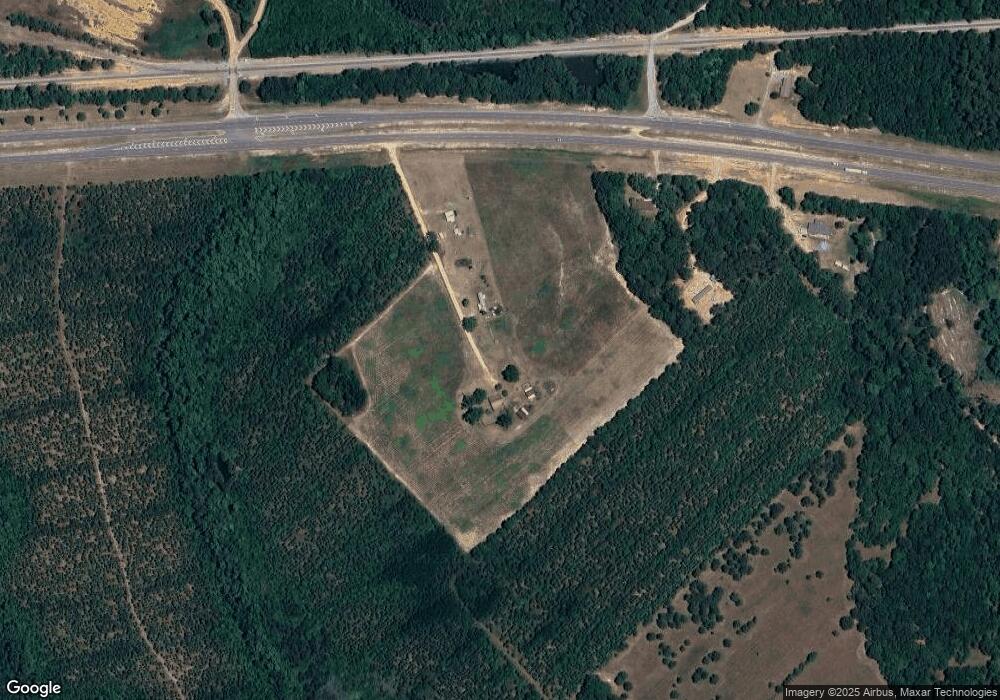
Map
Nearby Homes
- 6689 Mcrae Hwy
- 77 Muscadine Dr
- 11 Stover White Dr
- 0 Concord Dr Unit 10542376
- 0 U S 23
- 401 Sanders Cemetery Rd
- Lot 126 Pansy Ln
- 0 Jackson Ave Unit 10548102
- 17 2nd St
- 3822 New Bethel Church Rd
- 210 W Graham St
- 15 Ben Ave
- 0 Ll350 & 398 7th District Unit 30490
- 0 Center Ave
- 74 Durham St
- 427 3rd Ave
- 0 Mcrae Hwy
- 78 S Second Ave
- 47 S First Ave
- 125 Fifth Ave
- 7505 Mcrae Hwy
- 00 James Troup Rd
- 82 Red Barn Rd
- 0 Red Barn Rd
- 699 Jim Maloy Rd
- 469 James Troup Rd
- 33 Jim Maloy Rd
- 749 Helena Chauncey Rd
- 334 James Troup Rd
- 77 Red Barn Rd
- 0 Jim Maloy Rd
- 700 Jim Maloy Rd
- 420 James Troup Rd
- 169 James Troup Rd
- 7049 Mcrae Hwy
- 281 James Troup Rd
- 63 Red Barn Rd
- 928 W Golden Isles Hwy
- 6972 Mcrae Hwy
- 167 James Troup Rd