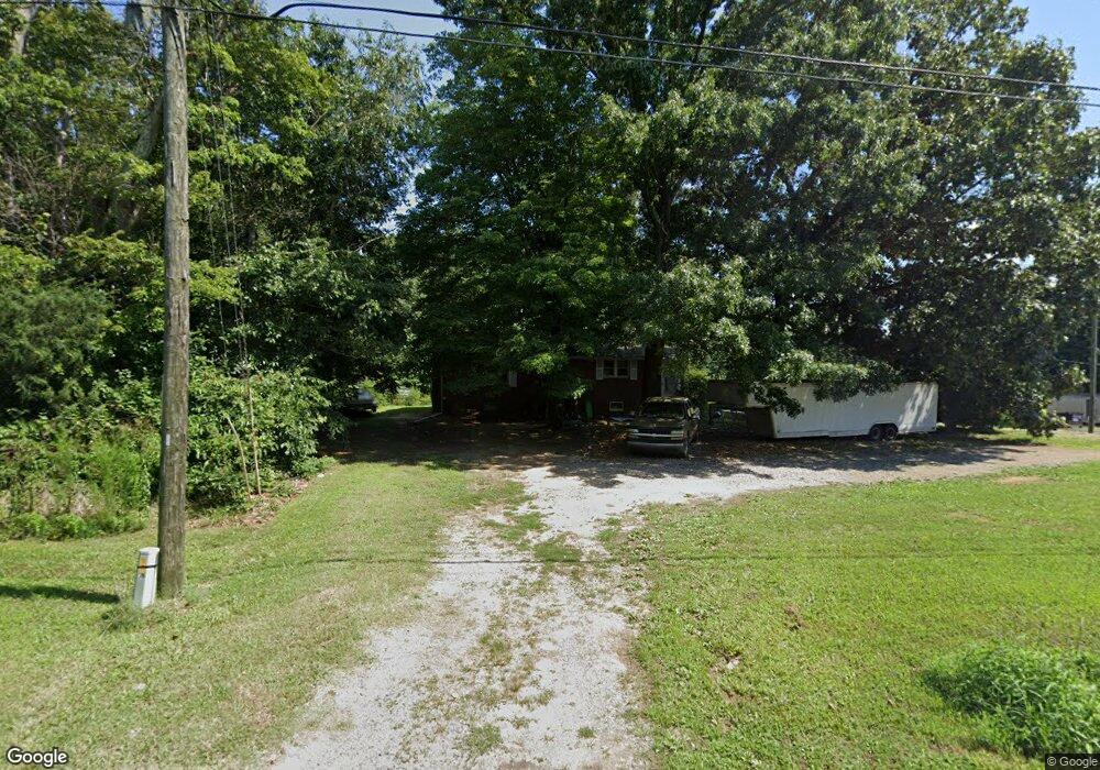
7388 Old Us Highway 52 Lexington, NC 27295
Estimated Value: $188,000 - $338,000
3
Beds
2
Baths
2,404
Sq Ft
$109/Sq Ft
Est. Value
About This Home
This home is located at 7388 Old Us Highway 52, Lexington, NC 27295 and is currently estimated at $261,352, approximately $108 per square foot. 7388 Old Us Highway 52 is a home located in Davidson County with nearby schools including Welcome Elementary School, North Davidson Middle School, and North Davidson High School.
Ownership History
Date
Name
Owned For
Owner Type
Purchase Details
Closed on
Oct 16, 2013
Sold by
Hill Lillian Patsy
Bought by
Hill Lillian Patsy and Hill Michael David
Current Estimated Value
Home Financials for this Owner
Home Financials are based on the most recent Mortgage that was taken out on this home.
Original Mortgage
$69,850
Outstanding Balance
$52,650
Interest Rate
4.58%
Mortgage Type
New Conventional
Estimated Equity
$208,702
Purchase Details
Closed on
Aug 4, 1958
Create a Home Valuation Report for This Property
The Home Valuation Report is an in-depth analysis detailing your home's value as well as a comparison with similar homes in the area
Home Values in the Area
Average Home Value in this Area
Purchase History
| Date | Buyer | Sale Price | Title Company |
|---|---|---|---|
| Hill Lillian Patsy | -- | None Available | |
| -- | -- | -- |
Source: Public Records
Mortgage History
| Date | Status | Borrower | Loan Amount |
|---|---|---|---|
| Open | Hill Lillian Patsy | $69,850 |
Source: Public Records
Tax History Compared to Growth
Tax History
| Year | Tax Paid | Tax Assessment Tax Assessment Total Assessment is a certain percentage of the fair market value that is determined by local assessors to be the total taxable value of land and additions on the property. | Land | Improvement |
|---|---|---|---|---|
| 2025 | $900 | $140,620 | $0 | $0 |
| 2024 | $900 | $140,620 | $0 | $0 |
| 2023 | $900 | $140,620 | $0 | $0 |
| 2022 | $900 | $140,620 | $0 | $0 |
| 2021 | $900 | $140,620 | $0 | $0 |
| 2020 | $790 | $123,330 | $0 | $0 |
| 2019 | $802 | $123,330 | $0 | $0 |
| 2018 | $802 | $123,330 | $0 | $0 |
| 2017 | $802 | $123,330 | $0 | $0 |
| 2016 | $802 | $123,330 | $0 | $0 |
| 2015 | $802 | $123,330 | $0 | $0 |
| 2014 | $781 | $122,080 | $0 | $0 |
Source: Public Records
Map
Nearby Homes
- 120 Hinkle Rd
- 00 Tall Pines Rd
- 205 Placid Park
- 381 Hinkle Ln
- Kyle Plan at Bristol Fields
- Penwell Plan at Bristol Fields
- Hayden Plan at Bristol Fields
- Cali Plan at Bristol Fields
- 243 Expansive Dr
- 1816 Tall Pines Rd
- 159 Wynnfall Dr
- 8003 Oakridge Dr
- 121 Richmond Dr
- 6202 Old U S Highway 52
- 245 Painted Trail
- 1435 Thomas Rd
- 182 Doe Crossing
- 170 Deer Path Ln
- 0 Wesley St
- 1510 Enterprise Rd
- 7389 Old U S Highway 52
- 7389 Old Us Highway 52
- 7314 Old U S Highway 52
- 7473 Old U S Highway 52
- 169 Tall Pines Rd
- 7272 Old Us Highway 52
- 7246 Old Us Highway 52
- 260 Cuthrell Ln
- 7244 Old Us Highway 52
- 274 Critcher Dr
- 7224 Old Us Highway 52
- 305 Cuthrell Ln
- 305 Cuthrell Ln
- 296 Critcher Dr
- 7150 Old Us Highway 52
- 300 Tall Pines Rd
- 180 Davidson Dr Unit 1
- 430 Critcher Dr
- 7685 Old Us Highway 52
- 222 Davidson Dr Unit 1