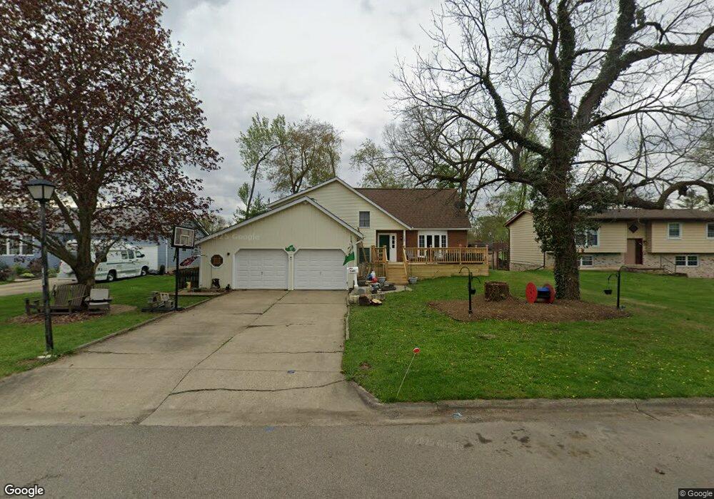
739 Coventry Cir Newark, OH 43055
Estimated Value: $329,000 - $396,000
4
Beds
3
Baths
2,532
Sq Ft
$146/Sq Ft
Est. Value
About This Home
This home is located at 739 Coventry Cir, Newark, OH 43055 and is currently estimated at $370,642, approximately $146 per square foot. 739 Coventry Cir is a home located in Licking County with nearby schools including John Clem Elementary School, Liberty Middle School, and Newark High School.
Ownership History
Date
Name
Owned For
Owner Type
Purchase Details
Closed on
Aug 19, 2022
Sold by
Cox Michael S and Cox Christine A
Bought by
Clark Michael P and Clark Amber
Current Estimated Value
Home Financials for this Owner
Home Financials are based on the most recent Mortgage that was taken out on this home.
Original Mortgage
$211,371
Outstanding Balance
$202,129
Interest Rate
5.54%
Mortgage Type
FHA
Estimated Equity
$168,513
Purchase Details
Closed on
Apr 2, 2013
Sold by
Fannie Mae
Bought by
Extreme Equity Partners Llc
Purchase Details
Closed on
Feb 15, 2005
Sold by
Mccluskey Marvella E and Mccluskey James A
Bought by
Cox Michael S and Cox Christine A
Home Financials for this Owner
Home Financials are based on the most recent Mortgage that was taken out on this home.
Original Mortgage
$117,600
Interest Rate
5.8%
Mortgage Type
Unknown
Create a Home Valuation Report for This Property
The Home Valuation Report is an in-depth analysis detailing your home's value as well as a comparison with similar homes in the area
Home Values in the Area
Average Home Value in this Area
Purchase History
| Date | Buyer | Sale Price | Title Company |
|---|---|---|---|
| Clark Michael P | -- | None Listed On Document | |
| Extreme Equity Partners Llc | $83,100 | None Available | |
| Cox Michael S | $148,900 | -- |
Source: Public Records
Mortgage History
| Date | Status | Borrower | Loan Amount |
|---|---|---|---|
| Open | Clark Michael P | $211,371 | |
| Previous Owner | Cox Michael S | $117,600 | |
| Closed | Cox Michael S | $22,000 |
Source: Public Records
Tax History Compared to Growth
Tax History
| Year | Tax Paid | Tax Assessment Tax Assessment Total Assessment is a certain percentage of the fair market value that is determined by local assessors to be the total taxable value of land and additions on the property. | Land | Improvement |
|---|---|---|---|---|
| 2024 | $3,602 | $100,770 | $21,700 | $79,070 |
| 2023 | $3,595 | $100,770 | $21,700 | $79,070 |
| 2022 | $2,956 | $73,790 | $12,780 | $61,010 |
| 2021 | $3,101 | $73,790 | $12,780 | $61,010 |
| 2020 | $3,171 | $73,790 | $12,780 | $61,010 |
| 2019 | $2,665 | $59,720 | $12,780 | $46,940 |
| 2018 | $2,667 | $0 | $0 | $0 |
| 2017 | $2,466 | $0 | $0 | $0 |
| 2016 | $2,328 | $0 | $0 | $0 |
| 2015 | $2,378 | $0 | $0 | $0 |
| 2014 | $3,047 | $0 | $0 | $0 |
| 2013 | $2,321 | $0 | $0 | $0 |
Source: Public Records
Map
Nearby Homes
- 370 Meadowbrook Dr
- 227 N Quentin Rd
- 403 Meadowbrook Dr
- 440 Reverie Place
- 473 Meadowbrook Dr
- 52 Charles St
- 27 E Channel St
- 425 N 11th St
- 988 Mount Vernon Rd
- 542 Mount Vernon Rd
- 584 Moull St Unit A
- 74 Cherry St
- 544 Hudson Ave
- 188 Meadow Dr
- 184 Meadow Dr
- 1049 Sunrise Dr
- 467 Mount Vernon Rd
- 355 Eddy St
- 333 N 10th St
- 383 Central Ave
- 737 Coventry Cir
- 741 Coventry Cir
- 753 Coventry Cir
- 740 Hampton Rd S
- 743 Coventry Cir
- 751 Coventry Cir
- 745 Coventry Cir
- 744 Hampton Rd S
- 750 Hampton Rd S
- 749 Coventry Cir
- 747 Coventry Cir
- 750 S Hampton Rd
- 756 Hampton Rd S
- 759 Plymouth Place
- 761 Plymouth Place
- 760 Hampton Rd S
- 763 Plymouth Place
- 652 King Ave
- 764 Hampton Rd S
- 656 King Ave