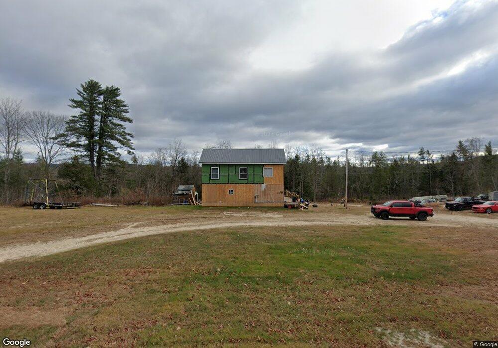
739 E Main St Denmark, ME 04022
Estimated Value: $277,780 - $312,000
Studio
--
Bath
--
Sq Ft
1,655,280
Sq Ft Lot
About This Home
This home is located at 739 E Main St, Denmark, ME 04022 and is currently estimated at $290,445. 739 E Main St is a home with nearby schools including Molly Ockett School and Denmark Elementary School.
Ownership History
Date
Name
Owned For
Owner Type
Purchase Details
Closed on
Jul 11, 2022
Sold by
Cottle Nicole M
Bought by
Libby Mark T
Current Estimated Value
Home Financials for this Owner
Home Financials are based on the most recent Mortgage that was taken out on this home.
Original Mortgage
$225,000
Outstanding Balance
$213,436
Interest Rate
5.09%
Mortgage Type
Purchase Money Mortgage
Estimated Equity
$77,009
Purchase Details
Closed on
Sep 16, 2019
Sold by
Libby Clifford W Sr Est and Libby
Bought by
Cottle Nicole M and Libby Mark
Home Financials for this Owner
Home Financials are based on the most recent Mortgage that was taken out on this home.
Original Mortgage
$94,627
Interest Rate
3.6%
Mortgage Type
FHA
Create a Home Valuation Report for This Property
The Home Valuation Report is an in-depth analysis detailing your home's value as well as a comparison with similar homes in the area
Home Values in the Area
Average Home Value in this Area
Purchase History
| Date | Buyer | Sale Price | Title Company |
|---|---|---|---|
| Libby Mark T | -- | None Available | |
| Libby Mark T | -- | None Available | |
| Cottle Nicole M | -- | -- | |
| Cottle Nicole M | -- | -- |
Source: Public Records
Mortgage History
| Date | Status | Borrower | Loan Amount |
|---|---|---|---|
| Open | Libby Mark T | $225,000 | |
| Closed | Libby Mark T | $225,000 | |
| Previous Owner | Cottle Nicole M | $94,627 |
Source: Public Records
Tax History
| Year | Tax Paid | Tax Assessment Tax Assessment Total Assessment is a certain percentage of the fair market value that is determined by local assessors to be the total taxable value of land and additions on the property. | Land | Improvement |
|---|---|---|---|---|
| 2025 | $2,243 | $280,386 | $111,513 | $168,873 |
| 2024 | $2,183 | $191,150 | $78,503 | $112,647 |
| 2023 | $1,609 | $118,289 | $61,135 | $57,154 |
| 2022 | $1,509 | $119,290 | $62,140 | $57,150 |
| 2021 | $1,202 | $94,260 | $65,240 | $29,020 |
| 2020 | $1,174 | $92,050 | $63,030 | $29,020 |
| 2019 | $1,085 | $91,920 | $62,900 | $29,020 |
| 2018 | $1,049 | $95,350 | $66,330 | $29,020 |
| 2017 | $1,073 | $95,350 | $66,330 | $29,020 |
| 2016 | $1,041 | $92,510 | $63,490 | $29,020 |
| 2015 | $842 | $92,510 | $63,490 | $29,020 |
| 2014 | $829 | $92,280 | $63,260 | $29,020 |
| 2013 | $829 | $92,280 | $63,260 | $29,020 |
Source: Public Records
Map
Nearby Homes
- 3 Hancock Pond Rd
- 120 North Rd
- 16 Mountain Rd Unit 16
- 8 Evans Hill Dr
- 0 Hio Ridge Rd Unit 1637364
- 12 Gabardi Ln
- 74 Ingalls Rd
- 10 Warren St
- 12 Warren St
- 175 Wildwood Rd
- 85 Waterview Trail
- 169 S Bridgton Rd
- 513 S High St
- 16 Fosterville Rd
- 00 Hio Ridge Rd
- 198 Bush Row Rd
- 25 W Main St
- 49 W Main St
- 3 A St
- 86 Beaver Creek Farm Rd
Your Personal Tour Guide
Ask me questions while you tour the home.