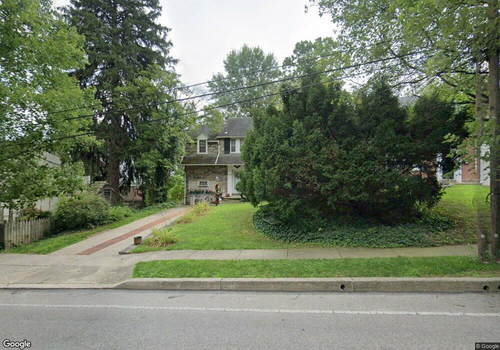
739 E Manoa Rd Havertown, PA 19083
Estimated Value: $503,000 - $633,000
3
Beds
2
Baths
1,608
Sq Ft
$354/Sq Ft
Est. Value
About This Home
This home is located at 739 E Manoa Rd, Havertown, PA 19083 and is currently estimated at $568,851, approximately $353 per square foot. 739 E Manoa Rd is a home located in Delaware County with nearby schools including Chatham Park Elementary School, Haverford Middle School, and Haverford Senior High School.
Ownership History
Date
Name
Owned For
Owner Type
Purchase Details
Closed on
Aug 12, 2013
Sold by
Tiburzio Francis J and Tiburzio Sandra C
Bought by
Tiburzio Sandra C
Current Estimated Value
Purchase Details
Closed on
Jul 31, 2003
Sold by
Tiburzio Francis J and Tiburzio Sandra C
Bought by
Tiburzio Francis J and Tiburzio Sandra C
Home Financials for this Owner
Home Financials are based on the most recent Mortgage that was taken out on this home.
Original Mortgage
$125,000
Interest Rate
5.52%
Mortgage Type
Stand Alone Refi Refinance Of Original Loan
Create a Home Valuation Report for This Property
The Home Valuation Report is an in-depth analysis detailing your home's value as well as a comparison with similar homes in the area
Home Values in the Area
Average Home Value in this Area
Purchase History
| Date | Buyer | Sale Price | Title Company |
|---|---|---|---|
| Tiburzio Sandra C | -- | None Available | |
| Tiburzio Francis J | -- | -- |
Source: Public Records
Mortgage History
| Date | Status | Borrower | Loan Amount |
|---|---|---|---|
| Closed | Tiburzio Francis J | $125,000 |
Source: Public Records
Tax History Compared to Growth
Tax History
| Year | Tax Paid | Tax Assessment Tax Assessment Total Assessment is a certain percentage of the fair market value that is determined by local assessors to be the total taxable value of land and additions on the property. | Land | Improvement |
|---|---|---|---|---|
| 2025 | $7,373 | $286,730 | $108,230 | $178,500 |
| 2024 | $7,373 | $286,730 | $108,230 | $178,500 |
| 2023 | $7,163 | $286,730 | $108,230 | $178,500 |
| 2022 | $6,996 | $286,730 | $108,230 | $178,500 |
| 2021 | $11,397 | $286,730 | $108,230 | $178,500 |
| 2020 | $6,671 | $143,530 | $54,800 | $88,730 |
| 2019 | $6,548 | $143,530 | $54,800 | $88,730 |
| 2018 | $6,436 | $143,530 | $0 | $0 |
| 2017 | $6,299 | $143,530 | $0 | $0 |
| 2016 | $788 | $143,530 | $0 | $0 |
| 2015 | $804 | $143,530 | $0 | $0 |
| 2014 | $804 | $143,530 | $0 | $0 |
Source: Public Records
Map
Nearby Homes
- 755 Lawson Ave
- 304 Earlington Rd
- 501 E Manoa Rd
- 222 Harrogate Rd
- 978 Township Line Rd
- 214 Brentwood Rd
- 111 Harrogate Rd
- 524 Sagamore Rd
- 1460 Drayton Ln
- 104 Brentwood Rd
- 26 Henley Rd
- 243 Rock Glen Rd
- 171 Juniper Rd
- 210 Farnham Rd
- 228 N Linden Ave
- 324 Brookline Blvd
- 235 N Linden Ave
- 204 E Manoa Rd
- 7661 Overbrook Ave
- 1818 N 77th St
- 735 E Manoa Rd
- 816 Grove Place
- 812 Grove Place
- 741 E Manoa Rd
- 810 Grove Place
- 731 E Manoa Rd
- 808 Grove Place
- 724 E Manoa Rd
- 728 E Manoa Rd
- 734 Ashurst Rd
- 720 E Manoa Rd
- 730 Ashurst Rd
- 732 E Manoa Rd
- 821 Grove Place
- 825 Grove Place
- 724 Ashurst Rd
- 714 E Manoa Rd
- 817 Grove Place
- 800 Grove Place
- 722 Ashurst Rd