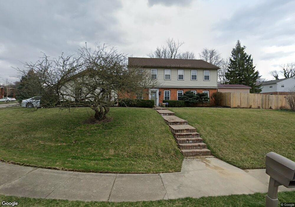
739 Linmuth Dr W Springfield, OH 45503
Estimated Value: $281,000 - $374,000
3
Beds
3
Baths
2,649
Sq Ft
$122/Sq Ft
Est. Value
About This Home
This home is located at 739 Linmuth Dr W, Springfield, OH 45503 and is currently estimated at $322,580, approximately $121 per square foot. 739 Linmuth Dr W is a home located in Clark County with nearby schools including Kenton Elementary School, Roosevelt Middle School, and Springfield High School.
Ownership History
Date
Name
Owned For
Owner Type
Purchase Details
Closed on
Sep 28, 2011
Sold by
Blackburn Jeffery B and Blackburn Janet Kay
Bought by
Bisdorf Jonathan H and Bisdorf Melanie H
Current Estimated Value
Home Financials for this Owner
Home Financials are based on the most recent Mortgage that was taken out on this home.
Original Mortgage
$150,750
Outstanding Balance
$103,015
Interest Rate
4.14%
Mortgage Type
New Conventional
Estimated Equity
$219,565
Create a Home Valuation Report for This Property
The Home Valuation Report is an in-depth analysis detailing your home's value as well as a comparison with similar homes in the area
Home Values in the Area
Average Home Value in this Area
Purchase History
| Date | Buyer | Sale Price | Title Company |
|---|---|---|---|
| Bisdorf Jonathan H | $167,500 | Attorney |
Source: Public Records
Mortgage History
| Date | Status | Borrower | Loan Amount |
|---|---|---|---|
| Open | Bisdorf Jonathan H | $150,750 |
Source: Public Records
Tax History Compared to Growth
Tax History
| Year | Tax Paid | Tax Assessment Tax Assessment Total Assessment is a certain percentage of the fair market value that is determined by local assessors to be the total taxable value of land and additions on the property. | Land | Improvement |
|---|---|---|---|---|
| 2024 | $3,246 | $67,350 | $14,230 | $53,120 |
| 2023 | $3,246 | $67,350 | $14,230 | $53,120 |
| 2022 | $5,647 | $67,350 | $14,230 | $53,120 |
| 2021 | $3,431 | $64,100 | $11,570 | $52,530 |
| 2020 | $3,439 | $64,100 | $11,570 | $52,530 |
| 2019 | $3,447 | $64,100 | $11,570 | $52,530 |
| 2018 | $3,251 | $58,130 | $9,110 | $49,020 |
| 2017 | $3,249 | $58,702 | $9,114 | $49,588 |
| 2016 | $3,253 | $58,702 | $9,114 | $49,588 |
| 2015 | $3,125 | $52,980 | $8,680 | $44,300 |
| 2014 | $3,111 | $52,980 | $8,680 | $44,300 |
| 2013 | $3,078 | $52,980 | $8,680 | $44,300 |
Source: Public Records
Map
Nearby Homes
- 732 Grandview Dr Unit 732
- 2933 Stonehaven Dr
- 2813 Wellsford Dr
- 647 Villa Rd Unit A
- 2933 Bahia Dr
- 537 Rensselaer St
- 542 Villa Rd
- 2677 Carousel Dr
- 1225 Vester Ave
- 2683 Home Orchard Dr
- 2524 Home Orchard Dr
- 2516 Balsam Dr
- 2540 Rebecca Dr
- 2408 Balsam Dr
- 2541 Derr Rd
- 1506 Hyannis Dr
- 3032 Armsgate Rd Unit 25
- 3029 Bradford Dr Unit 46
- 2642 Kilkenny Ct
- 1732 Falmouth Ave
- 739 S Linmuth Ct
- 3039 Linmuth Dr W
- 725 Linmuth Ct S
- 730 Linmuth Ct S
- 3040 Clarion Dr
- 738 Linmuth Dr W
- 730 Linmuth Dr W
- 3031 Linmuth Dr W
- 3046 Linmuth Dr W
- 724 Linmuth Ct S
- 3036 Linmuth Dr W
- 3032 Clarion Dr
- 3030 Linmuth Dr W
- 3023 Linmuth Dr W
- 739 Santa Monica Ave
- 3022 Linmuth Dr W
- 3024 Clarion Dr
- 809 Santa Monica Ave
- 731 Santa Monica Ave
- 3041 Clarion Dr