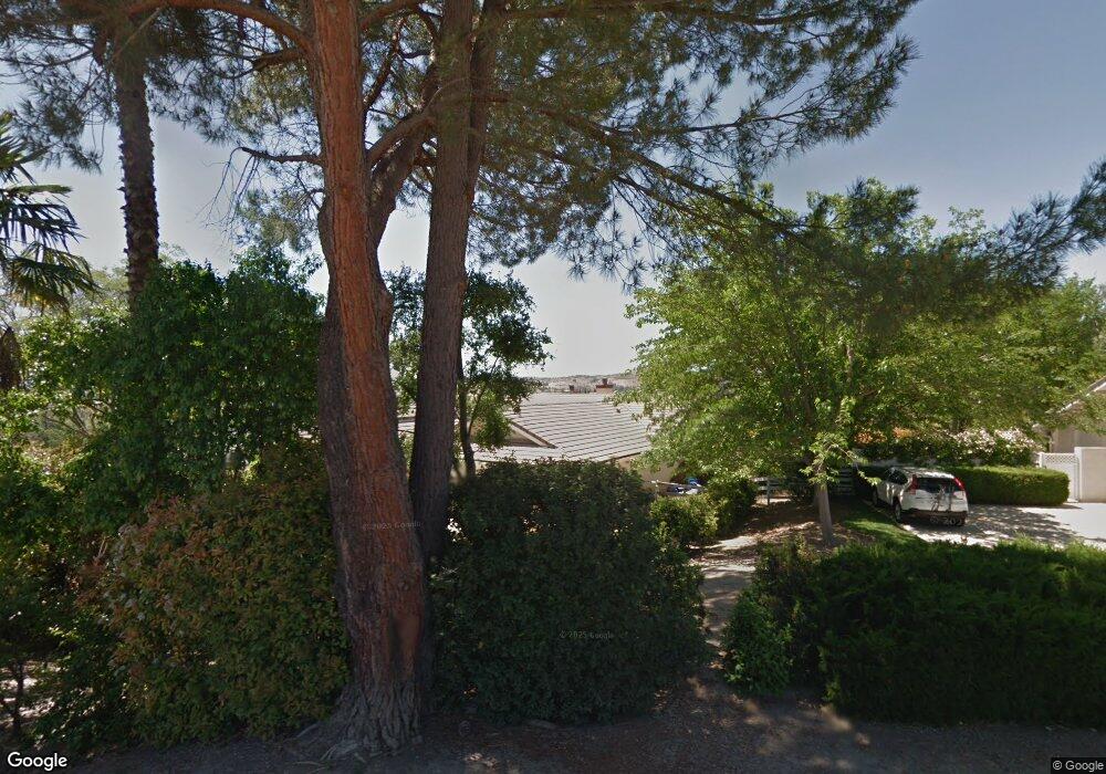
739 Orchard Dr Paso Robles, CA 93446
Estimated Value: $971,000 - $1,323,000
3
Beds
4
Baths
3,600
Sq Ft
$319/Sq Ft
Est. Value
About This Home
This home is located at 739 Orchard Dr, Paso Robles, CA 93446 and is currently estimated at $1,147,625, approximately $318 per square foot. 739 Orchard Dr is a home located in San Luis Obispo County with nearby schools including Winifred Pifer Elementary School, Daniel Lewis Middle School, and Paso Robles High School.
Ownership History
Date
Name
Owned For
Owner Type
Purchase Details
Closed on
Apr 5, 2010
Sold by
Balakian Sam
Bought by
Balakian Sam and Balakian Valerie
Current Estimated Value
Purchase Details
Closed on
Sep 15, 2000
Sold by
Balakian Valerie
Bought by
Balakian Sam
Home Financials for this Owner
Home Financials are based on the most recent Mortgage that was taken out on this home.
Original Mortgage
$200,000
Outstanding Balance
$71,808
Interest Rate
7.89%
Estimated Equity
$1,075,817
Create a Home Valuation Report for This Property
The Home Valuation Report is an in-depth analysis detailing your home's value as well as a comparison with similar homes in the area
Purchase History
| Date | Buyer | Sale Price | Title Company |
|---|---|---|---|
| Balakian Sam | -- | None Available | |
| Balakian Sam | -- | Fidelity National Title | |
| Balakian Sam | $330,000 | Fidelity National Title |
Source: Public Records
Mortgage History
| Date | Status | Borrower | Loan Amount |
|---|---|---|---|
| Open | Balakian Sam | $200,000 |
Source: Public Records
Tax History
| Year | Tax Paid | Tax Assessment Tax Assessment Total Assessment is a certain percentage of the fair market value that is determined by local assessors to be the total taxable value of land and additions on the property. | Land | Improvement |
|---|---|---|---|---|
| 2025 | $5,342 | $497,238 | $195,878 | $301,360 |
| 2024 | $5,253 | $487,489 | $192,038 | $295,451 |
| 2023 | $5,253 | $477,931 | $188,273 | $289,658 |
| 2022 | $5,174 | $468,561 | $184,582 | $283,979 |
| 2021 | $5,084 | $459,374 | $180,963 | $278,411 |
| 2020 | $5,014 | $454,665 | $179,108 | $275,557 |
| 2019 | $4,941 | $445,751 | $175,597 | $270,154 |
| 2018 | $4,872 | $437,011 | $172,154 | $264,857 |
| 2017 | $4,580 | $428,443 | $168,779 | $259,664 |
| 2016 | $4,489 | $420,043 | $165,470 | $254,573 |
| 2015 | $4,471 | $413,735 | $162,985 | $250,750 |
| 2014 | $4,314 | $405,632 | $159,793 | $245,839 |
Source: Public Records
Map
Nearby Homes
- 845 Creston Rd
- 711 Knight Ct
- 827 Marlbank Place
- 629 Trigo Ln
- 843 Hacienda Cir
- 621 Jackson Dr
- 616 Jackson Dr
- 731 Renate Way
- 715 Shannon Hill Dr
- 1555 Lyle Ln
- 1107 Patricia Ln
- 1212 Mariah Ln
- 1036 Samantha Dr
- 420 Creston Rd
- 1639 Kleck Rd
- 2039 Promontory Place
- 1503 Las Brisas Dr
- 940 Austin Ct
- 1020 Par Ave
- 2450 Golden Hill Rd
Your Personal Tour Guide
Ask me questions while you tour the home.