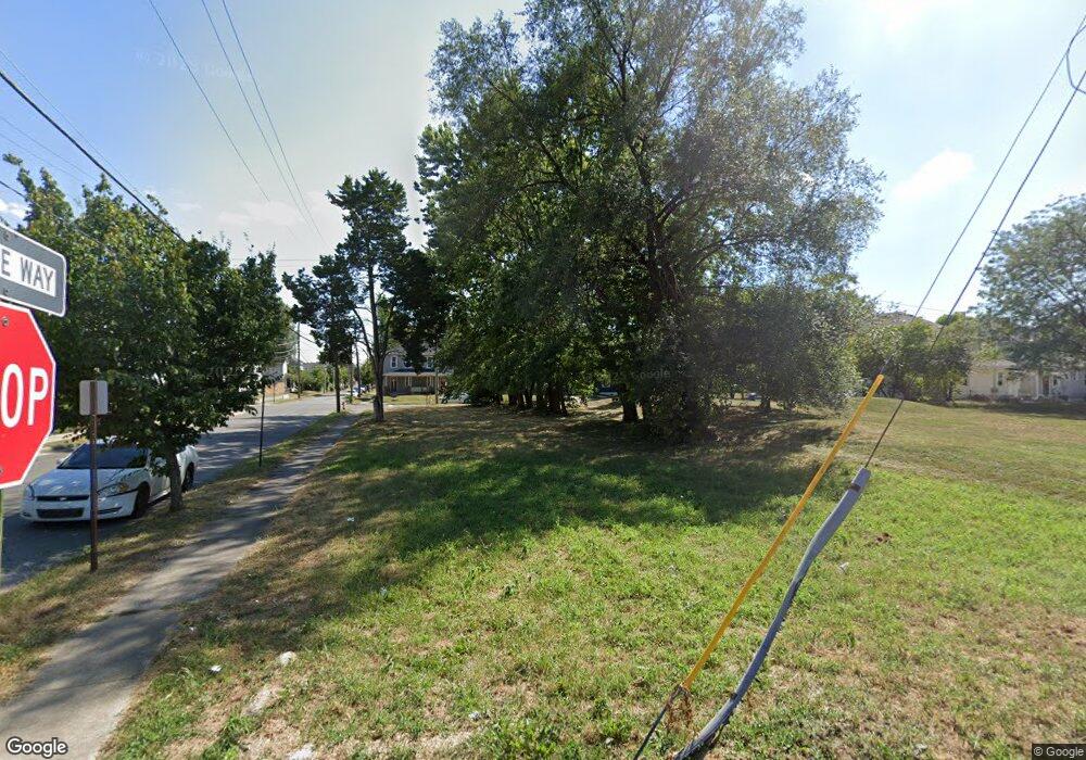
739 W Walnut St Unit 6737 Columbus, OH 43222
Franklinton NeighborhoodEstimated Value: $388,455 - $589,000
6
Beds
4
Baths
2,452
Sq Ft
$194/Sq Ft
Est. Value
About This Home
This home is located at 739 W Walnut St Unit 6737, Columbus, OH 43222 and is currently estimated at $475,614, approximately $193 per square foot. 739 W Walnut St Unit 6737 is a home located in Franklin County with nearby schools including Starling PK-8, Sullivant Elementary School, and West High School.
Ownership History
Date
Name
Owned For
Owner Type
Purchase Details
Closed on
Nov 22, 2002
Sold by
Novy Dale E and Novy Carol A
Bought by
Dicesare Dan
Current Estimated Value
Home Financials for this Owner
Home Financials are based on the most recent Mortgage that was taken out on this home.
Original Mortgage
$153,000
Outstanding Balance
$65,027
Interest Rate
6.22%
Estimated Equity
$410,587
Purchase Details
Closed on
May 24, 1994
Bought by
Novy Dale E
Purchase Details
Closed on
Mar 1, 1986
Create a Home Valuation Report for This Property
The Home Valuation Report is an in-depth analysis detailing your home's value as well as a comparison with similar homes in the area
Home Values in the Area
Average Home Value in this Area
Purchase History
| Date | Buyer | Sale Price | Title Company |
|---|---|---|---|
| Dicesare Dan | $170,000 | -- | |
| Novy Dale E | $112,000 | -- | |
| -- | -- | -- |
Source: Public Records
Mortgage History
| Date | Status | Borrower | Loan Amount |
|---|---|---|---|
| Open | Dicesare Dan | $153,000 |
Source: Public Records
Tax History Compared to Growth
Tax History
| Year | Tax Paid | Tax Assessment Tax Assessment Total Assessment is a certain percentage of the fair market value that is determined by local assessors to be the total taxable value of land and additions on the property. | Land | Improvement |
|---|---|---|---|---|
| 2024 | $6,535 | $105,850 | $16,070 | $89,780 |
| 2023 | $6,444 | $105,840 | $16,065 | $89,775 |
| 2022 | $4,290 | $65,280 | $12,040 | $53,240 |
| 2021 | $4,359 | $65,280 | $12,040 | $53,240 |
| 2020 | $4,334 | $65,280 | $12,040 | $53,240 |
| 2019 | $3,936 | $52,230 | $9,630 | $42,600 |
| 2018 | $4,104 | $52,230 | $9,630 | $42,600 |
| 2017 | $3,580 | $52,230 | $9,630 | $42,600 |
| 2016 | $4,295 | $58,840 | $10,150 | $48,690 |
| 2015 | $4,321 | $58,840 | $10,150 | $48,690 |
| 2014 | $4,325 | $58,840 | $10,150 | $48,690 |
| 2013 | $2,204 | $59,045 | $9,660 | $49,385 |
Source: Public Records
Map
Nearby Homes
- 772 Sullivant Ave Unit 772
- 642 Sullivant Ave Unit 642
- 601 W Rich St Unit 601
- The Summit Plan at Homes on Hartford - Single Family
- 45 N Hartford Ave
- 49 S Hartford Ave
- 45 S Hartford Ave
- 791 Campbell Ave
- 538 W Town St
- 536 W Town St
- 760 Thomas Ave
- 78 Hawkes Ave
- 186 Avondale Ave Unit 188
- 955 Sullivant Ave
- 286 Avondale Ave
- 53-55 Hawkes Ave
- 378 Hawkes Ave
- 273 Avondale Ave
- 72 Avondale Ave
- 33 N Hartford Ave
- 713 W Walnut St Unit 6711
- 750 W Rich St
- 756 W Rich St
- 772 W Rich St
- 739 W Rich St Unit C
- 739 W Rich St Unit B
- 739 W Rich St Unit B
- 739 W Rich St
- 776 W Rich St
- 773 W Rich St
- 751 W Rich St
- 757 W Rich St
- 142 S Green St
- 138 S Green St
- 134 S Green St
- 763 W Rich St Unit 65
- 130 S Green St
- 767 W Rich St
- 731 W Rich St
- 771 W Rich St Unit 773
