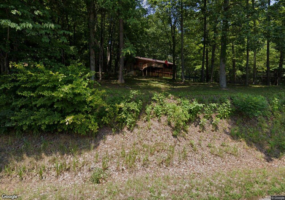
7390 Highway 147 Stewart, TN 37175
Estimated Value: $142,229 - $190,000
--
Bed
1
Bath
1,100
Sq Ft
$161/Sq Ft
Est. Value
About This Home
This home is located at 7390 Highway 147, Stewart, TN 37175 and is currently estimated at $177,557, approximately $161 per square foot. 7390 Highway 147 is a home located in Houston County.
Ownership History
Date
Name
Owned For
Owner Type
Purchase Details
Closed on
Jan 29, 2010
Sold by
Vincent Steven Todd
Bought by
Forrester David F
Current Estimated Value
Home Financials for this Owner
Home Financials are based on the most recent Mortgage that was taken out on this home.
Original Mortgage
$73,980
Outstanding Balance
$49,280
Interest Rate
5.16%
Mortgage Type
Cash
Estimated Equity
$128,277
Purchase Details
Closed on
Sep 7, 2001
Bought by
Vincent T H
Purchase Details
Closed on
Nov 13, 1998
Bought by
Lisa Vincent T and Lisa Jane
Purchase Details
Closed on
Jul 20, 1994
Bought by
Vincent T H
Purchase Details
Closed on
Dec 22, 1989
Bought by
Debra Vincent T and Debra Lee
Purchase Details
Closed on
Oct 3, 1986
Bought by
Vincent T H Jr Etul Kerry B Vincent
Purchase Details
Closed on
Sep 22, 1986
Create a Home Valuation Report for This Property
The Home Valuation Report is an in-depth analysis detailing your home's value as well as a comparison with similar homes in the area
Home Values in the Area
Average Home Value in this Area
Purchase History
| Date | Buyer | Sale Price | Title Company |
|---|---|---|---|
| Forrester David F | $72,500 | -- | |
| Vincent T H | -- | -- | |
| Lisa Vincent T | -- | -- | |
| Vincent T H | -- | -- | |
| Debra Vincent T | $12,800 | -- | |
| Vincent T H Jr Etul Kerry B Vincent | $30,000 | -- | |
| -- | $30,000 | -- |
Source: Public Records
Mortgage History
| Date | Status | Borrower | Loan Amount |
|---|---|---|---|
| Open | Not Available | $73,980 |
Source: Public Records
Tax History Compared to Growth
Tax History
| Year | Tax Paid | Tax Assessment Tax Assessment Total Assessment is a certain percentage of the fair market value that is determined by local assessors to be the total taxable value of land and additions on the property. | Land | Improvement |
|---|---|---|---|---|
| 2024 | $547 | $30,725 | $3,500 | $27,225 |
| 2023 | $547 | $30,725 | $3,500 | $27,225 |
| 2022 | $491 | $17,525 | $2,400 | $15,125 |
| 2021 | $491 | $17,525 | $2,400 | $15,125 |
| 2020 | $534 | $17,525 | $2,400 | $15,125 |
| 2019 | $534 | $16,725 | $2,100 | $14,625 |
| 2018 | $534 | $16,725 | $2,100 | $14,625 |
| 2017 | $534 | $16,725 | $2,100 | $14,625 |
| 2016 | $534 | $16,725 | $2,100 | $14,625 |
| 2015 | $534 | $16,725 | $2,100 | $14,625 |
| 2014 | -- | $16,724 | $0 | $0 |
Source: Public Records
Map
Nearby Homes
- 8955 Tennessee 147
- 0 Les Ferrell Rd
- 943 Overlook Trail
- 35 Airport Ln
- 0 Highway 232 Unit 25510404
- 10120 Highway 147
- 0 W of Magnolia Rd Unit RTC2889836
- 85 Lakeview Ln
- 71 Overlook Ln
- 67 Overlook Ln
- 79 Overlook Ln
- 1950 Old Stewart Rd
- 372 Cheree Loop
- 11175 Highway 147
- 0 Rocky Point Rd Unit RTC2700425
- 0 Cooley Ford Rd Unit LotWP007 22557710
- 0 Cooley Ford Rd Unit RTC2974712
- 240 Miller Ridge Ln
- 0 Day Cemetery Ln
- 0 Overlook Trail
- 7750 Highway 147
- 7140 Highway 147
- 6848 Highway 147
- 635 Walford Hollow Rd
- 875 Walford Hollow Rd
- 8181 Highway 147
- 157 Collin Loop
- 145 Walford Hollow Rd
- 1 Hurricane Church Rd
- 75 Hurricane Church Rd
- 135 Hurricane Church Rd
- 8390 Highway 147 Unit 8388
- 1375 Walford Hollow Rd
- 8433 Highway 147
- 248 Winters Ridge Rd
- 70 Hurricane Church Rd
- 0 Hurricane Church Rd Unit RTC2541137