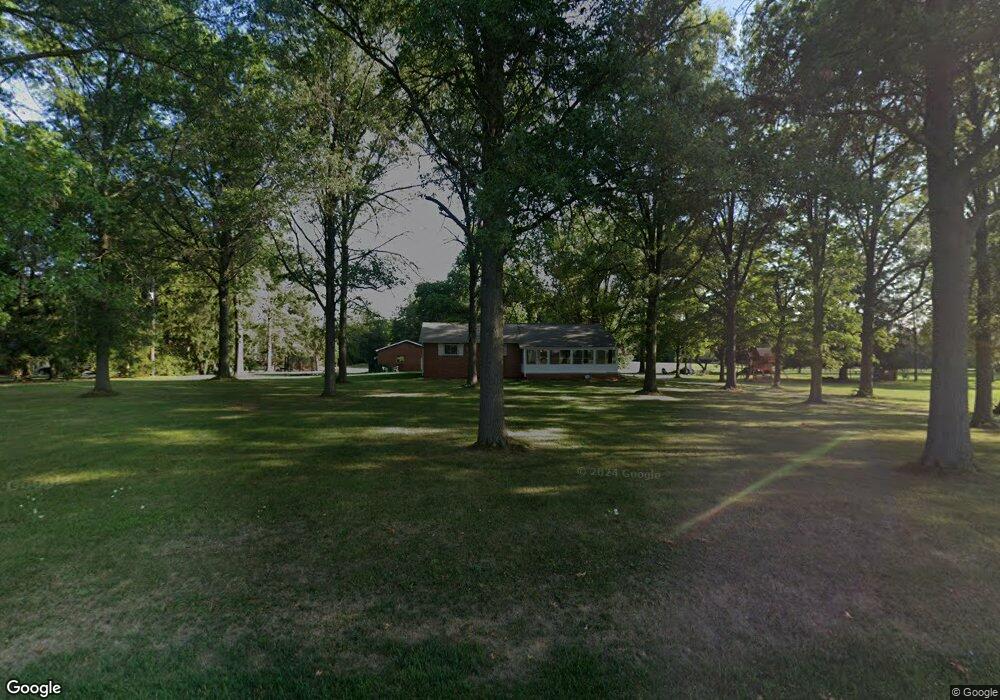
7390 Snyder Rd Orient, OH 43146
Estimated Value: $291,000 - $396,000
3
Beds
2
Baths
1,456
Sq Ft
$236/Sq Ft
Est. Value
About This Home
This home is located at 7390 Snyder Rd, Orient, OH 43146 and is currently estimated at $343,210, approximately $235 per square foot. 7390 Snyder Rd is a home located in Pickaway County.
Ownership History
Date
Name
Owned For
Owner Type
Purchase Details
Closed on
Feb 6, 2020
Sold by
Shives Scott Randal and Shives La Dona
Bought by
Shives Gary D
Current Estimated Value
Purchase Details
Closed on
May 20, 2013
Sold by
Shives La Dona Rae Garver
Bought by
Shives Scott Randal
Purchase Details
Closed on
May 9, 2013
Sold by
Shives Scott Randal
Bought by
Shives La Donna Rae Garver
Create a Home Valuation Report for This Property
The Home Valuation Report is an in-depth analysis detailing your home's value as well as a comparison with similar homes in the area
Home Values in the Area
Average Home Value in this Area
Purchase History
| Date | Buyer | Sale Price | Title Company |
|---|---|---|---|
| Shives Gary D | $185,000 | Clean Title Agency Inc | |
| Shives Scott Randal | -- | Connor Land Title Agency Ltd | |
| Shives Scott Randal | -- | Attorney | |
| Shives La Donna Rae Garver | -- | Connor Land Title Agency Ltd |
Source: Public Records
Tax History
| Year | Tax Paid | Tax Assessment Tax Assessment Total Assessment is a certain percentage of the fair market value that is determined by local assessors to be the total taxable value of land and additions on the property. | Land | Improvement |
|---|---|---|---|---|
| 2025 | $5,155 | $99,880 | $38,140 | $61,740 |
| 2024 | $5,155 | $99,880 | $38,140 | $61,740 |
| 2023 | $3,856 | $99,880 | $38,140 | $61,740 |
| 2022 | $2,958 | $70,420 | $25,460 | $44,960 |
| 2021 | $2,967 | $70,420 | $25,460 | $44,960 |
| 2020 | $2,967 | $70,420 | $25,460 | $44,960 |
| 2019 | $0 | $60,210 | $24,460 | $35,750 |
| 2018 | $2,413 | $60,210 | $24,460 | $35,750 |
| 2017 | $2,476 | $60,210 | $24,460 | $35,750 |
| 2016 | $2,391 | $58,010 | $21,960 | $36,050 |
| 2015 | $1,196 | $58,010 | $21,960 | $36,050 |
| 2014 | $2,395 | $58,010 | $21,960 | $36,050 |
| 2013 | $2,435 | $58,010 | $21,960 | $36,050 |
Source: Public Records
Map
Nearby Homes
- 201 Rosewood Loop SW
- 190 Rosewood Loop SW
- 9148 Matville Rd
- 161 Rosewood Loop SE
- 159 Chestnut Commons Dr
- 161 Chestnut Estates Dr
- 182 Honey Locust Ln
- 38 Waterman Ave
- 66 Genoa Cir
- 52 Genoa Cir
- 282 Olympic Loop
- 289 Arledge Dr
- 24 Erin Hills Rd
- 290 Olympic Loop
- 359 Oakmont Dr
- 62 Chambers Bay Rd
- 277 Olympic Loop
- 298 Shady Hollow Dr
- 304 Cherry Hills Rd
- 56 Chambers Bay Rd
Your Personal Tour Guide
Ask me questions while you tour the home.