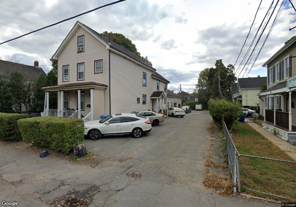
74 Bacon St Waltham, MA 02451
Bank Square NeighborhoodEstimated Value: $1,194,000 - $1,283,000
6
Beds
4
Baths
3,327
Sq Ft
$374/Sq Ft
Est. Value
About This Home
This home is located at 74 Bacon St, Waltham, MA 02451 and is currently estimated at $1,243,000, approximately $373 per square foot. 74 Bacon St is a home located in Middlesex County with nearby schools including Thomas R Plympton Elementary School, John F Kennedy Middle School, and Waltham Sr High School.
Ownership History
Date
Name
Owned For
Owner Type
Purchase Details
Closed on
Oct 7, 2011
Sold by
Lianos Christopher
Bought by
Christopher Lianos Ret
Current Estimated Value
Create a Home Valuation Report for This Property
The Home Valuation Report is an in-depth analysis detailing your home's value as well as a comparison with similar homes in the area
Home Values in the Area
Average Home Value in this Area
Purchase History
| Date | Buyer | Sale Price | Title Company |
|---|---|---|---|
| Christopher Lianos Ret | -- | -- |
Source: Public Records
Tax History Compared to Growth
Tax History
| Year | Tax Paid | Tax Assessment Tax Assessment Total Assessment is a certain percentage of the fair market value that is determined by local assessors to be the total taxable value of land and additions on the property. | Land | Improvement |
|---|---|---|---|---|
| 2025 | $10,372 | $1,056,200 | $392,800 | $663,400 |
| 2024 | $9,534 | $989,000 | $390,300 | $598,700 |
| 2023 | $9,182 | $889,700 | $374,100 | $515,600 |
| 2022 | $9,315 | $836,200 | $341,500 | $494,700 |
| 2021 | $8,346 | $737,300 | $276,500 | $460,800 |
| 2020 | $8,159 | $682,800 | $244,000 | $438,800 |
| 2019 | $7,528 | $594,600 | $241,500 | $353,100 |
| 2018 | $6,867 | $544,600 | $223,600 | $321,000 |
| 2017 | $6,585 | $524,300 | $203,300 | $321,000 |
| 2016 | $6,417 | $524,300 | $203,300 | $321,000 |
| 2015 | $5,998 | $456,800 | $183,000 | $273,800 |
Source: Public Records
Map
Nearby Homes
- 15 Howard St
- 160 School St Unit 3-1
- 43-45 Welligton Unit 3
- 32 Harvard St Unit 2
- 91 Prentice St
- 15 Banks St Unit 4
- 39 Floyd St Unit 2
- 37 Summit St
- 948 Main St Unit 209
- 948 Main St Unit 105
- 251 Bacon St
- 14 Claremont St
- 7-11.5 Felton
- 70 School St
- 31 Weston St Unit 2
- 79-81 Vernon St
- 55-57 Crescent St
- 158 Church St
- 326 Bacon St
- 214 Church St
- 74 Bacon St Unit 2
- 74 Bacon St Unit 3
- 74 Bacon St Unit 1
- 74 Bacon St
- 73 Fiske St Unit 75
- 73 Fiske St Unit 1
- 77 Fiske St Unit 79
- 71 Fiske St
- 11 Totten Ct
- 81 Fiske St Unit 83
- 70 Bacon St
- 15 Totten Ct
- 65 Fiske St Unit 2
- 65 Fiske St Unit 1
- 65 Fiske St Unit 65 65
- 80 Bacon St
- 85 Fiske St Unit 87
- 85 Fiske St Unit 1
- 87 Fiske St Unit 87
- 82 Bacon St Unit 2