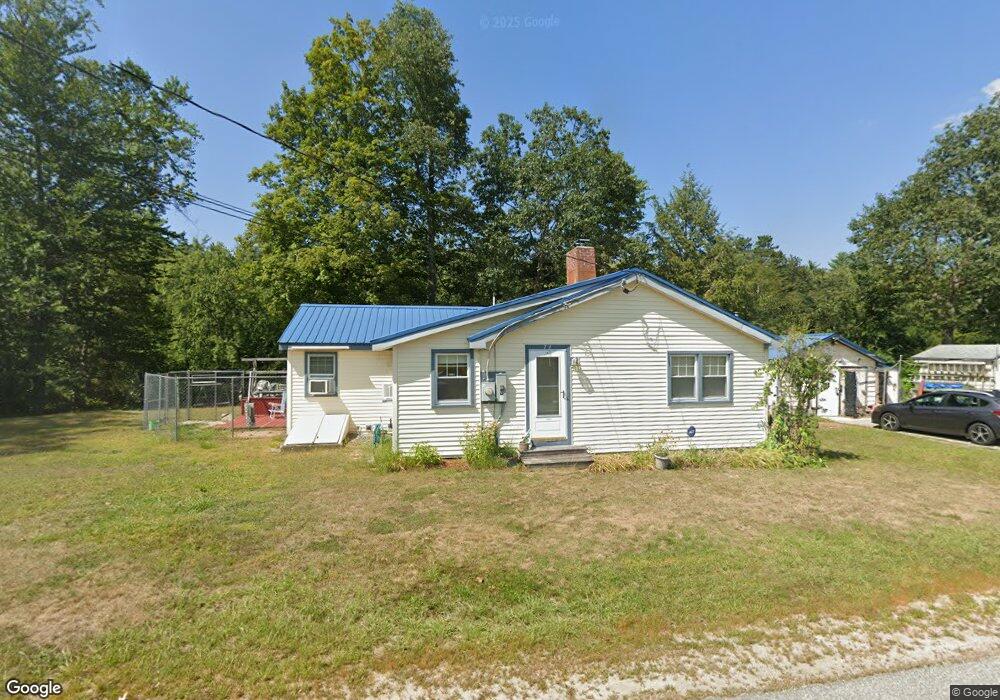
74 Bear Hill Rd Hillsborough, NH 03244
Hillsboro NeighborhoodEstimated Value: $219,000 - $321,000
1
Bed
1
Bath
1,260
Sq Ft
$215/Sq Ft
Est. Value
About This Home
This home is located at 74 Bear Hill Rd, Hillsborough, NH 03244 and is currently estimated at $270,279, approximately $214 per square foot. 74 Bear Hill Rd is a home located in Hillsborough County with nearby schools including Hillsboro-Deering Elementary School, Hillsboro-Deering High School, and Hillsboro Christian School.
Ownership History
Date
Name
Owned For
Owner Type
Purchase Details
Closed on
Oct 16, 1996
Sold by
Roy Daniel N and Roy Eileen M
Bought by
Pierce Timothy R
Current Estimated Value
Home Financials for this Owner
Home Financials are based on the most recent Mortgage that was taken out on this home.
Original Mortgage
$28,000
Outstanding Balance
$2,610
Interest Rate
8.26%
Mortgage Type
Purchase Money Mortgage
Estimated Equity
$267,669
Create a Home Valuation Report for This Property
The Home Valuation Report is an in-depth analysis detailing your home's value as well as a comparison with similar homes in the area
Home Values in the Area
Average Home Value in this Area
Purchase History
| Date | Buyer | Sale Price | Title Company |
|---|---|---|---|
| Pierce Timothy R | $33,000 | -- |
Source: Public Records
Mortgage History
| Date | Status | Borrower | Loan Amount |
|---|---|---|---|
| Open | Pierce Timothy R | $10,000 | |
| Open | Pierce Timothy R | $28,000 |
Source: Public Records
Tax History Compared to Growth
Tax History
| Year | Tax Paid | Tax Assessment Tax Assessment Total Assessment is a certain percentage of the fair market value that is determined by local assessors to be the total taxable value of land and additions on the property. | Land | Improvement |
|---|---|---|---|---|
| 2024 | $4,347 | $130,000 | $52,500 | $77,500 |
| 2023 | $4,059 | $130,000 | $52,500 | $77,500 |
| 2022 | $3,470 | $130,000 | $52,500 | $77,500 |
| 2021 | $3,760 | $130,000 | $52,500 | $77,500 |
| 2020 | $3,735 | $130,000 | $52,500 | $77,500 |
| 2018 | $3,357 | $113,800 | $42,500 | $71,300 |
| 2017 | $3,467 | $113,800 | $42,500 | $71,300 |
| 2016 | $3,318 | $112,400 | $40,000 | $72,400 |
| 2015 | $3,265 | $112,400 | $40,000 | $72,400 |
| 2014 | $3,098 | $112,400 | $40,000 | $72,400 |
| 2013 | $3,154 | $112,400 | $40,000 | $72,400 |
Source: Public Records
Map
Nearby Homes
- 10 Deering Center Rd
- 32 Union St
- 1 W Main St
- 31 Central St Unit G
- 20-22 Church St
- 73 W Main St
- 23 Pleasant St
- 88 W Mill St
- 31 Woodlawn Ave
- 86 Manselville Rd
- 45 Keyes Farm Rd
- 9 Wyman Rd
- 5 Chamberlain Ct Unit 56
- 21 Wyman Rd
- 0 W Main St Unit 1
- 0 Route 202 Route Unit 4983445
- 00 Rochester Rd Unit 32
- 28 Merrill Rd
- 0 Red Fox Crossing Unit 34 4858470
- 24 Raccoon Alley
- 59 Bear Hill Rd
- LOT # 6 Eastern Corners Rd
- 23 Prospect St
- 20 Prospect St
- 21 Prospect St
- 16 Prospect St
- 35 Bear Hill Rd
- 12 Prospect St
- 0 Preston St
- 13 Prospect St
- 15 Preston St
- 29 Bear Hill Rd
- 156 Simon Ave
- 9 Preston St
- 8 Prospect St
- 26 Preston St
- 9 Prospect St
- 20 Preston St
- 80 Bridge St
- 27 Bear Hill Rd