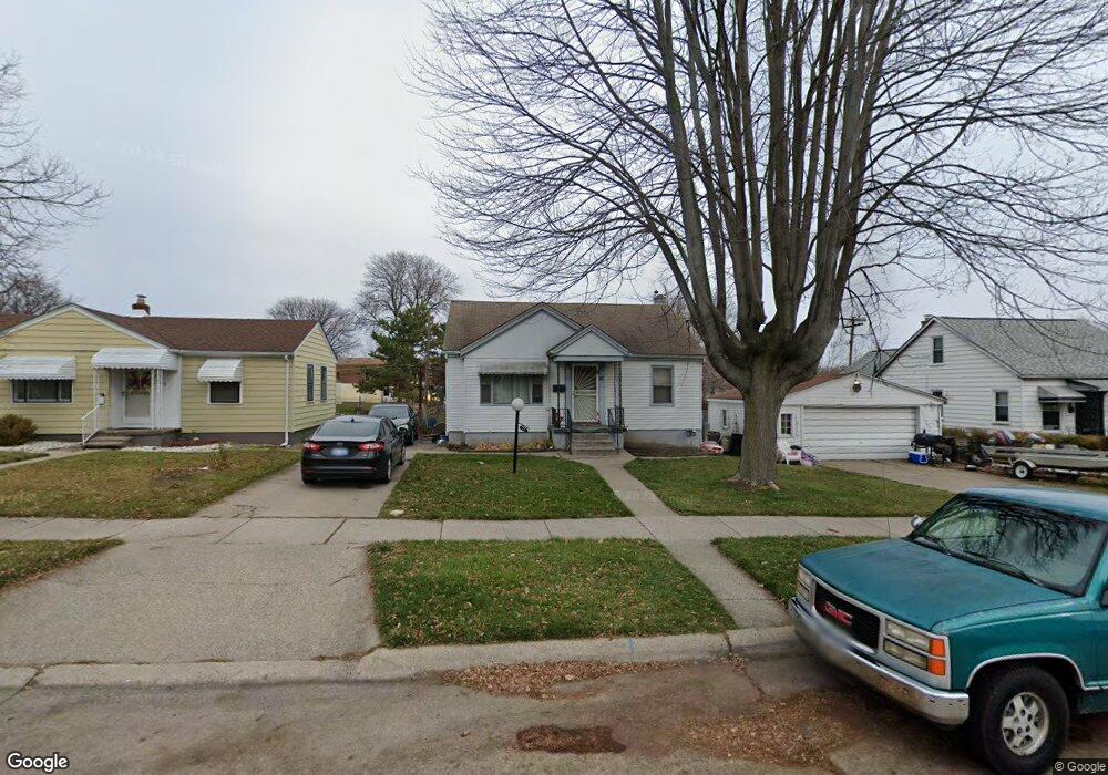
74 Brooks St Mount Clemens, MI 48043
Estimated Value: $137,000 - $151,382
3
Beds
1
Bath
1,141
Sq Ft
$125/Sq Ft
Est. Value
About This Home
This home is located at 74 Brooks St, Mount Clemens, MI 48043 and is currently estimated at $142,096, approximately $124 per square foot. 74 Brooks St is a home located in Macomb County with nearby schools including Mount Clemens High School, Prevail Academy, and St Mary Catholic School.
Ownership History
Date
Name
Owned For
Owner Type
Purchase Details
Closed on
Nov 18, 2016
Sold by
Neal Jr Richard O and Turner Sophia
Bought by
Wells Fargo Bank Na
Current Estimated Value
Purchase Details
Closed on
Apr 7, 2015
Sold by
Neal Richard O and Turner Saphia
Bought by
Hagemannand Cludis and Hagemannand Heronica
Purchase Details
Closed on
Dec 23, 2008
Sold by
Michigan Schools & Government Credit Uni
Bought by
Oneal Richard and Turner Sophia
Purchase Details
Closed on
Jun 22, 2007
Sold by
Green Earlene Veloris
Bought by
Macomb Schools & Government Cu
Create a Home Valuation Report for This Property
The Home Valuation Report is an in-depth analysis detailing your home's value as well as a comparison with similar homes in the area
Home Values in the Area
Average Home Value in this Area
Purchase History
| Date | Buyer | Sale Price | Title Company |
|---|---|---|---|
| Wells Fargo Bank Na | $21,320 | None Available | |
| Hagemannand Cludis | -- | None Available | |
| Oneal Richard | $50,000 | First American Title Asg | |
| Macomb Schools & Government Cu | $53,615 | None Available |
Source: Public Records
Tax History Compared to Growth
Tax History
| Year | Tax Paid | Tax Assessment Tax Assessment Total Assessment is a certain percentage of the fair market value that is determined by local assessors to be the total taxable value of land and additions on the property. | Land | Improvement |
|---|---|---|---|---|
| 2025 | $1,891 | $55,100 | $0 | $0 |
| 2024 | $1,844 | $53,600 | $0 | $0 |
| 2023 | $1,929 | $47,300 | $0 | $0 |
| 2022 | $4,716 | $43,600 | $0 | $0 |
| 2021 | $2,045 | $39,300 | $0 | $0 |
| 2020 | $1,579 | $34,000 | $0 | $0 |
| 2019 | $1,555 | $31,200 | $0 | $0 |
| 2018 | $1,898 | $29,100 | $0 | $0 |
| 2017 | $1,870 | $28,381 | $6,763 | $21,618 |
| 2016 | $1,492 | $28,381 | $0 | $0 |
| 2015 | $1,309 | $26,259 | $0 | $0 |
| 2013 | -- | $24,175 | $4,830 | $19,345 |
Source: Public Records
Map
Nearby Homes
- 71 Boehme St
- 147 Euclid St
- 219 N Walnut St
- 96 Jones St
- 193 Euclid St
- 225 Euclid St
- 263 N Walnut St
- 167 N Broadway St
- 74 Clinton St Unit 74
- 217 Jones St
- 269 Euclid St
- 190 Euclid Ave Unit and Lot 186
- 312 N Gratiot Ave
- 245 N Broadway St
- 168 Market St
- 111 Scott Blvd
- 23510 Buckingham St
- 95 High St
- 139 Gallup St
- 33 Parkview St
- 66 Brooks St
- 76 Brooks St
- 78 Brooks St
- 55 Orchard St
- 145 Clemens St
- 39 Orchard St
- 65 Brooks St
- 67 Brooks St
- 69 Brooks St
- 61 Brooks St
- 80 Brooks St
- 143 Clemens St
- 63 Brooks St
- 35 Orchard St
- 246 Northbound Gratiot Ave
- 248 Northbound Gratiot Ave
- 228 Northbound Gratiot Ave
- 224 Northbound Gratiot Ave
- 134 Jones St
- 130 Jones St