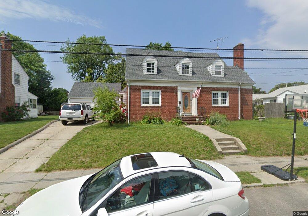
74 Brookside Dr Cranston, RI 02910
Estimated Value: $515,000 - $569,000
4
Beds
3
Baths
2,529
Sq Ft
$211/Sq Ft
Est. Value
About This Home
This home is located at 74 Brookside Dr, Cranston, RI 02910 and is currently estimated at $532,551, approximately $210 per square foot. 74 Brookside Dr is a home located in Providence County with nearby schools including W. R. Dutemple School, Park View Middle School, and Cranston High School East.
Ownership History
Date
Name
Owned For
Owner Type
Purchase Details
Closed on
Oct 29, 1996
Sold by
Gordon Michael B
Bought by
Avakian Sarkis and Avagian Aroutun
Current Estimated Value
Home Financials for this Owner
Home Financials are based on the most recent Mortgage that was taken out on this home.
Original Mortgage
$118,750
Interest Rate
8.22%
Create a Home Valuation Report for This Property
The Home Valuation Report is an in-depth analysis detailing your home's value as well as a comparison with similar homes in the area
Purchase History
| Date | Buyer | Sale Price | Title Company |
|---|---|---|---|
| Avakian Sarkis | $125,000 | -- |
Source: Public Records
Mortgage History
| Date | Status | Borrower | Loan Amount |
|---|---|---|---|
| Open | Avakian Sarkis | $145,220 | |
| Closed | Avakian Sarkis | $150,000 | |
| Closed | Avakian Sarkis | $120,000 | |
| Closed | Avakian Sarkis | $118,750 |
Source: Public Records
Tax History
| Year | Tax Paid | Tax Assessment Tax Assessment Total Assessment is a certain percentage of the fair market value that is determined by local assessors to be the total taxable value of land and additions on the property. | Land | Improvement |
|---|---|---|---|---|
| 2025 | $6,431 | $463,300 | $114,700 | $348,600 |
| 2024 | $6,067 | $445,800 | $114,700 | $331,100 |
| 2023 | $5,876 | $310,900 | $75,600 | $235,300 |
| 2022 | $5,755 | $310,900 | $75,600 | $235,300 |
| 2021 | $5,596 | $310,900 | $75,600 | $235,300 |
| 2020 | $5,456 | $262,700 | $72,000 | $190,700 |
| 2019 | $5,456 | $262,700 | $72,000 | $190,700 |
| 2018 | $5,330 | $262,700 | $72,000 | $190,700 |
| 2017 | $5,152 | $224,600 | $64,800 | $159,800 |
| 2016 | $5,042 | $224,600 | $64,800 | $159,800 |
| 2015 | $5,042 | $224,600 | $64,800 | $159,800 |
| 2014 | $4,723 | $206,800 | $64,800 | $142,000 |
Source: Public Records
Map
Nearby Homes
- 72 Brookside Dr
- 169 Alexander St
- 85 Welfare Ave
- 89 Welfare Ave
- 68 Brookside Dr
- 83 Welfare Ave
- 93 Welfare Ave
- 77 Brookside Dr
- 73 Brookside Dr
- 73 Welfare Ave
- 69 Brookside Dr
- 69 Welfare Ave
- 168 Alexander St
- 65 Brookside Dr
- 60 Brookside Dr
- 160 Alexander St
- 61 Brookside Dr
- 86 Welfare Ave
- 65 Welfare Ave
- 98 Welfare Ave
Your Personal Tour Guide
Ask me questions while you tour the home.