Estimated Value: $560,000 - $626,000
3
Beds
3
Baths
1,740
Sq Ft
$344/Sq Ft
Est. Value
About This Home
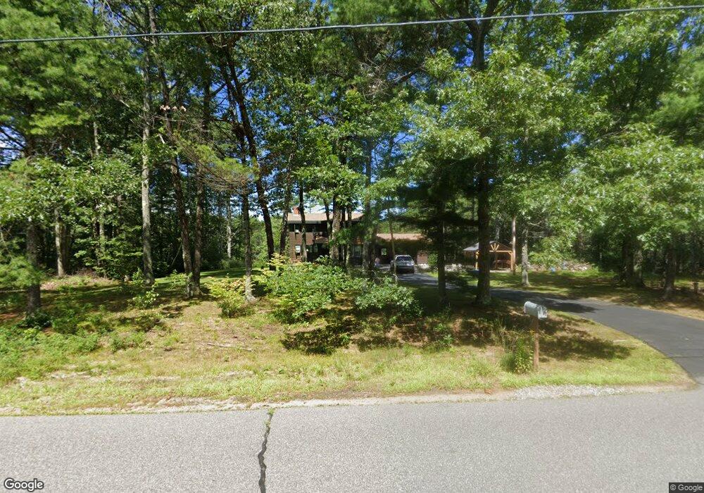
This home is located at 74 Butternut Trail, Wells, ME 04090 and is currently estimated at $597,792, approximately $343 per square foot. 74 Butternut Trail is a home located in York County with nearby schools including Wells Elementary School, Wells Junior High School, and Wells High School.
Ownership History
Date
Name
Owned For
Owner Type
Purchase Details
Closed on
Jun 10, 2011
Sold by
Dahill Erin M and Tedesco Bryan F
Bought by
Cote Kathleen J and Ceberek James S
Current Estimated Value
Home Financials for this Owner
Home Financials are based on the most recent Mortgage that was taken out on this home.
Original Mortgage
$268,028
Outstanding Balance
$183,641
Interest Rate
4.5%
Mortgage Type
FHA
Estimated Equity
$414,151
Create a Home Valuation Report for This Property
The Home Valuation Report is an in-depth analysis detailing your home's value as well as a comparison with similar homes in the area
Home Values in the Area
Average Home Value in this Area
Purchase History
| Date | Buyer | Sale Price | Title Company |
|---|---|---|---|
| Cote Kathleen J | -- | -- |
Source: Public Records
Mortgage History
| Date | Status | Borrower | Loan Amount |
|---|---|---|---|
| Open | Cote Kathleen J | $268,028 |
Source: Public Records
Tax History Compared to Growth
Tax History
| Year | Tax Paid | Tax Assessment Tax Assessment Total Assessment is a certain percentage of the fair market value that is determined by local assessors to be the total taxable value of land and additions on the property. | Land | Improvement |
|---|---|---|---|---|
| 2024 | $3,139 | $516,270 | $165,700 | $350,570 |
| 2023 | $3,077 | $516,270 | $165,700 | $350,570 |
| 2022 | $2,703 | $258,450 | $75,160 | $183,290 |
| 2021 | $2,719 | $258,450 | $70,130 | $188,320 |
| 2020 | $3,553 | $258,450 | $75,160 | $183,290 |
| 2019 | $6,624 | $258,450 | $75,160 | $183,290 |
| 2018 | $2,516 | $258,450 | $75,160 | $183,290 |
| 2017 | $6,608 | $258,450 | $75,160 | $183,290 |
| 2016 | $6,523 | $258,450 | $75,160 | $183,290 |
| 2015 | $2,572 | $258,450 | $75,160 | $183,290 |
| 2013 | $2,357 | $258,450 | $75,160 | $183,290 |
Source: Public Records
Map
Nearby Homes
- Lot 11 Laney Ln
- Lot 13 Laney Ln
- 86 Moose Bog Ln
- 94 Perry Oliver Rd
- 761 Quarry Rd
- 43 Michaels Rd
- 1229 Bragdon Rd
- 45 Grace Ln
- lot 6 Bragdon Rd
- 469 High St
- Lot 4 Tbd Lentago Ln Unit Lot 4
- 22 Lentago Ln
- 233 Wells St
- Lot 3 Lentago Ln
- 202 High St
- 42 Bernice Ave
- 22 Church Ave
- 38 High St
- 57 Juniper Ln Unit Lot 27
- 2196 Sanford Rd Unit 46
- 60 Butternut Trail
- 83 Butternut Trail
- 5 Elinor Ln
- 40 Butternut Trail
- 107 Butternut Trail
- 50 Woodland Cir
- 28 Elinor Ln
- Lot 2 Granite Dr
- 20 Woodland Cir
- 17 Butternut Trail
- 51 Woodland Cir
- 48 Woodland Cir
- 7 Woodland Cir
- 127 Butternut Trail
- 12 Butternut Trail
- Lot 7 Granite Dr
- 58 Elinor Ln
- 59 Elinor Ln
- 0 Elinor Ln
- 405 Perry Oliver Rd