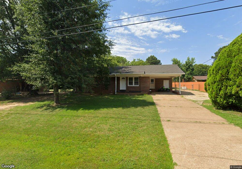
74 Carl St Gadsden, TN 38337
Estimated Value: $156,000 - $171,000
--
Bed
2
Baths
1,170
Sq Ft
$141/Sq Ft
Est. Value
About This Home
This home is located at 74 Carl St, Gadsden, TN 38337 and is currently estimated at $164,875, approximately $140 per square foot. 74 Carl St is a home located in Crockett County with nearby schools including Crockett County High School.
Ownership History
Date
Name
Owned For
Owner Type
Purchase Details
Closed on
Mar 29, 2023
Sold by
Moore Joe F
Bought by
King April D
Current Estimated Value
Home Financials for this Owner
Home Financials are based on the most recent Mortgage that was taken out on this home.
Original Mortgage
$151,098
Outstanding Balance
$146,514
Interest Rate
6.32%
Mortgage Type
FHA
Estimated Equity
$18,361
Purchase Details
Closed on
Dec 29, 2021
Sold by
Jimmy Crutchfield
Bought by
Moore Joe F
Purchase Details
Closed on
Sep 21, 1977
Bought by
Crutchfield Jimmy and Josephine Ann
Create a Home Valuation Report for This Property
The Home Valuation Report is an in-depth analysis detailing your home's value as well as a comparison with similar homes in the area
Home Values in the Area
Average Home Value in this Area
Purchase History
| Date | Buyer | Sale Price | Title Company |
|---|---|---|---|
| King April D | -- | -- | |
| Moore Joe F | $37,801 | Wilson & Associates Pllc | |
| Crutchfield Jimmy | -- | -- |
Source: Public Records
Mortgage History
| Date | Status | Borrower | Loan Amount |
|---|---|---|---|
| Open | King April D | $151,098 |
Source: Public Records
Tax History Compared to Growth
Tax History
| Year | Tax Paid | Tax Assessment Tax Assessment Total Assessment is a certain percentage of the fair market value that is determined by local assessors to be the total taxable value of land and additions on the property. | Land | Improvement |
|---|---|---|---|---|
| 2025 | $547 | $35,425 | $0 | $0 |
| 2024 | $547 | $24,075 | $2,000 | $22,075 |
| 2023 | $547 | $24,075 | $2,000 | $22,075 |
| 2022 | $547 | $24,075 | $2,000 | $22,075 |
| 2021 | $413 | $15,625 | $1,500 | $14,125 |
| 2020 | $405 | $15,625 | $1,500 | $14,125 |
| 2019 | $413 | $15,625 | $1,500 | $14,125 |
| 2018 | $413 | $15,625 | $1,500 | $14,125 |
| 2017 | $413 | $15,625 | $1,500 | $14,125 |
| 2016 | $413 | $15,625 | $1,500 | $14,125 |
| 2015 | $451 | $15,625 | $1,500 | $14,125 |
| 2014 | $451 | $17,101 | $0 | $0 |
Source: Public Records
Map
Nearby Homes
- 00 Lot#1 Humboldt Lake Rd
- 00 Lot#4 Humboldt Lake Rd
- 127 Franklin St
- 133 Mason St
- 136 Mason Grove Rd
- 21679 U S 79
- 397 Aubrey Fergerson Rd
- 00 Plomar Williams Rd
- 0 Plomar Williams Rd
- 0 Aubrey Fergerson Rd
- 159 Lipford Ln
- 297 Marlow Cemetery Rd
- 00 Highway 45 W
- 0 Clarence Norfleet Rd
- 120 Westwood Cove
- 580 Westside Dr
- 0 MacLin St Unit 224868
- 76 Etheridge St Unit R
- 73 Etheridge St
- 0 W Main St