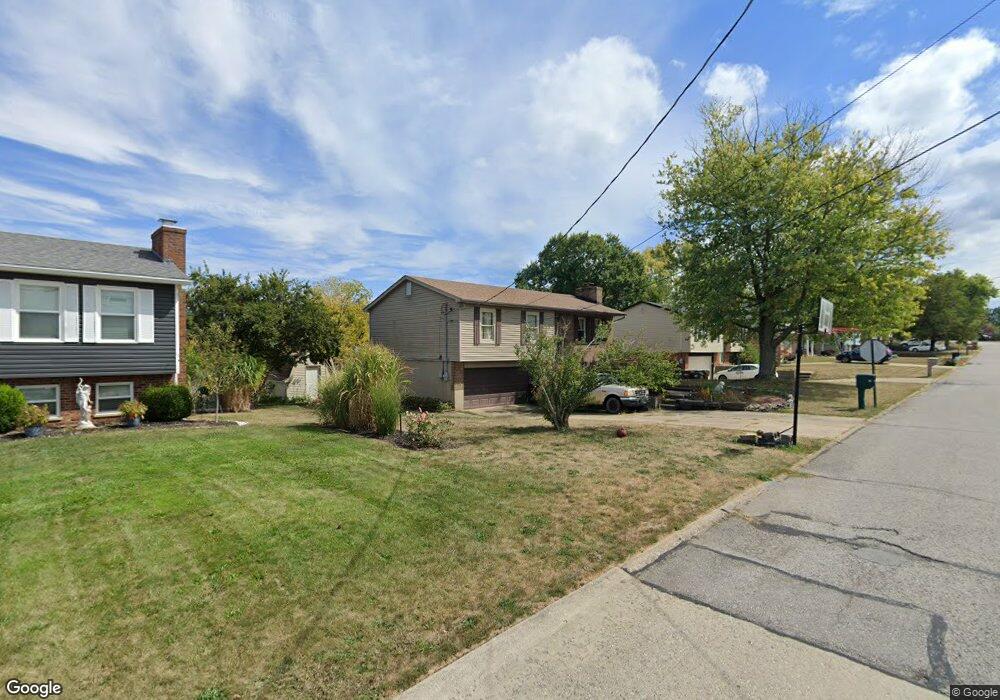
74 Carrie Way Dr Independence, KY 41051
Estimated Value: $254,000 - $273,188
3
Beds
2
Baths
1,000
Sq Ft
$264/Sq Ft
Est. Value
About This Home
This home is located at 74 Carrie Way Dr, Independence, KY 41051 and is currently estimated at $263,547, approximately $263 per square foot. 74 Carrie Way Dr is a home located in Kenton County with nearby schools including Kenton Elementary School, Simon Kenton High School, and St. Cecilia Catholic School.
Ownership History
Date
Name
Owned For
Owner Type
Purchase Details
Closed on
May 14, 1996
Sold by
Gabbard Dennis
Bought by
Perkins Timothy L and Perkins Kimberly A
Current Estimated Value
Home Financials for this Owner
Home Financials are based on the most recent Mortgage that was taken out on this home.
Original Mortgage
$72,650
Outstanding Balance
$3,031
Interest Rate
7.67%
Mortgage Type
New Conventional
Estimated Equity
$260,516
Create a Home Valuation Report for This Property
The Home Valuation Report is an in-depth analysis detailing your home's value as well as a comparison with similar homes in the area
Home Values in the Area
Average Home Value in this Area
Purchase History
| Date | Buyer | Sale Price | Title Company |
|---|---|---|---|
| Perkins Timothy L | $85,500 | -- |
Source: Public Records
Mortgage History
| Date | Status | Borrower | Loan Amount |
|---|---|---|---|
| Open | Perkins Timothy L | $72,650 |
Source: Public Records
Tax History
| Year | Tax Paid | Tax Assessment Tax Assessment Total Assessment is a certain percentage of the fair market value that is determined by local assessors to be the total taxable value of land and additions on the property. | Land | Improvement |
|---|---|---|---|---|
| 2025 | $2,410 | $207,200 | $35,000 | $172,200 |
| 2024 | $1,098 | $136,000 | $30,000 | $106,000 |
| 2023 | $1,131 | $136,000 | $30,000 | $106,000 |
| 2022 | $1,273 | $136,000 | $30,000 | $106,000 |
| 2021 | $1,291 | $136,000 | $30,000 | $106,000 |
| 2020 | $1,517 | $110,800 | $25,000 | $85,800 |
| 2019 | $1,521 | $110,800 | $25,000 | $85,800 |
| 2018 | $1,528 | $110,800 | $25,000 | $85,800 |
| 2017 | $1,488 | $110,800 | $25,000 | $85,800 |
| 2015 | $1,440 | $110,800 | $25,000 | $85,800 |
| 2014 | $1,420 | $110,800 | $25,000 | $85,800 |
Source: Public Records
Map
Nearby Homes
- 2037 Patriot Way
- 6500 Julia Meadow
- 2083 Hartland Blvd
- 5220 Cody Rd
- 2144 Hartland Blvd
- 1247 Monocacy Ct
- 1365 Cairns Ct
- 10362 Petersburg Ct
- 9964 Meadow Glen Dr
- 9971 Meadow Glen Dr
- 9980 Meadow Glen Dr
- 10737 Cypresswood Dr
- 10008 Meadow Glen Dr
- 1197 Catletts Ct
- 1217 Cannonball Way
- 4448 Oliver Rd
- 8382 Greenmere Cir
- 2072 Crown Vetch Dr
- 10422 Flintrock Bluff
- 1381 Poplartree Place
- 74 Carrie Way
- 70 Carrie Way Dr
- 78 Carrie Way Dr
- 78 Carrie Way
- 66 Carrie
- 82 Carrie Way
- 66 Carrie Way Dr
- 82 Carrie Way Dr
- 75 Carrie Way Dr
- 71 Carrie Way
- 79 Carrie Way Dr
- 83 Carrie Way
- 86 Carrie Way Dr
- 71 Carrie Way Dr
- 62 Carrie Way
- 62 Carrie Way Dr
- 88 Carrie Way
- 88 Carrie Way
- 83 Carrie Way Dr
- 67 Carrie Way Dr
Your Personal Tour Guide
Ask me questions while you tour the home.