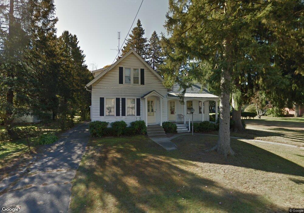
74 Clark St Easthampton, MA 01027
Estimated Value: $386,554 - $496,000
2
Beds
2
Baths
1,438
Sq Ft
$301/Sq Ft
Est. Value
About This Home
This home is located at 74 Clark St, Easthampton, MA 01027 and is currently estimated at $432,889, approximately $301 per square foot. 74 Clark St is a home located in Hampshire County with nearby schools including Easthampton High School, Tri-County Schools, and New England Adolescent Research Institute.
Ownership History
Date
Name
Owned For
Owner Type
Purchase Details
Closed on
Jul 7, 2021
Sold by
Johnson Eunice M Est
Bought by
Czerwiec Denise L and Almekinder Nathanael W
Current Estimated Value
Purchase Details
Closed on
Oct 15, 1999
Sold by
Parker Edward H and Parker Edward R
Bought by
Jarous Betty R and Jarous Gregory G
Home Financials for this Owner
Home Financials are based on the most recent Mortgage that was taken out on this home.
Original Mortgage
$143,780
Interest Rate
7.8%
Mortgage Type
Purchase Money Mortgage
Create a Home Valuation Report for This Property
The Home Valuation Report is an in-depth analysis detailing your home's value as well as a comparison with similar homes in the area
Home Values in the Area
Average Home Value in this Area
Purchase History
| Date | Buyer | Sale Price | Title Company |
|---|---|---|---|
| Czerwiec Denise L | -- | None Available | |
| Jarous Betty R | $151,350 | -- |
Source: Public Records
Mortgage History
| Date | Status | Borrower | Loan Amount |
|---|---|---|---|
| Previous Owner | Jarous Betty R | $143,780 |
Source: Public Records
Tax History
| Year | Tax Paid | Tax Assessment Tax Assessment Total Assessment is a certain percentage of the fair market value that is determined by local assessors to be the total taxable value of land and additions on the property. | Land | Improvement |
|---|---|---|---|---|
| 2025 | $4,309 | $315,200 | $122,100 | $193,100 |
| 2024 | $4,162 | $306,900 | $118,600 | $188,300 |
| 2023 | $3,216 | $219,500 | $94,000 | $125,500 |
| 2022 | $3,628 | $219,500 | $94,000 | $125,500 |
| 2021 | $4,163 | $225,500 | $94,000 | $131,500 |
| 2020 | $3,898 | $219,500 | $94,000 | $125,500 |
| 2019 | $3,225 | $208,600 | $94,000 | $114,600 |
| 2018 | $3,117 | $194,800 | $88,700 | $106,100 |
| 2017 | $3,043 | $187,700 | $85,200 | $102,500 |
| 2016 | $3,059 | $196,200 | $85,200 | $111,000 |
| 2015 | $2,972 | $196,200 | $85,200 | $111,000 |
Source: Public Records
Map
Nearby Homes
- 2 Oak St
- 19 Mount Tom Ave Unit 19
- 33 Knipfer Ave
- 19 Nicols Way Unit 19
- 12 Glen Cove Place Unit B
- 10 Glen Cove Place Unit A
- 11 Dragon Cir
- 41 South St Unit 11
- 36 & 36R Holly Cir
- 6 S St & Abutting Lots
- 2 W Park Dr
- 385 Main St
- M143 &152 Glendale St
- 245 Park St
- 131 West St Unit 131
- 4 Laurel Dr
- 29 Sandra Rd
- Lot 1 Edgewater Ln
- 1 Plain St
- 296 Old Wilson Rd
Your Personal Tour Guide
Ask me questions while you tour the home.